Canterbury - Shepherdswell
Canterbury - Shepherdswell | |
Introduction
This walk starts in the beautiful and historic cathedral city of Canterbury. The path heads through the city centre and through the east of the city, climbing back onto the downs. The path pases through the village of Patrixbourne and continues through large fields of crops, passing through the villages of Womenswold and Woolage on the way, before arriving at the small town of Shepherdswell.
Getting to the Start
Canterbury is easily accessible from the A2 dual-carriageway and the A28. The A28 joins junction 9 of the M20 near Ashford, whilst the A2 continues on from the end of the M2 motorway. Canterbury is a historic city, still retaining parts of it's city walls and the centre is mostly pedestrianised. Therefore parking is quite limited - long stay car parks are at Holman's Meadow, Rosemary Lane, Station Road West (by Canterbury West Station) and St John's Nursery. The car park at Station Road West is probably the closest to the North Downs Way, but these car parks are quite expensive. Also consider using one of the Park and Ride service - these car parks can be found at Wincheap (to the west of the city, just off the A2), New Dover Road (to the south of the city, off the A2050) and Sturry Road (off the A28 to the east of the city). The park and ride buses run Mondays - Saturdays (from all sights) from 6:30am to 9:00pm with parking (including the bus to the city centre) costing less than half the price of the car parks nearer the city centre.
The best way to get to Canterbury by public transport is by train, with frequent services from London Victoria and London Charing Cross to Canterbury East and Canterbury West stations, as well as frequent local trains to Margate, Ramsgate, Dover, Folkestone, Faversham, Ashford, Tonbridge, Sevenoaks and many smaller stations. Canterbury also has a good range of bus services to a variety of towns and villages in the area.
The Walk
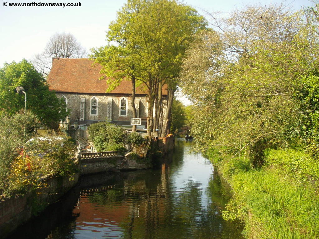
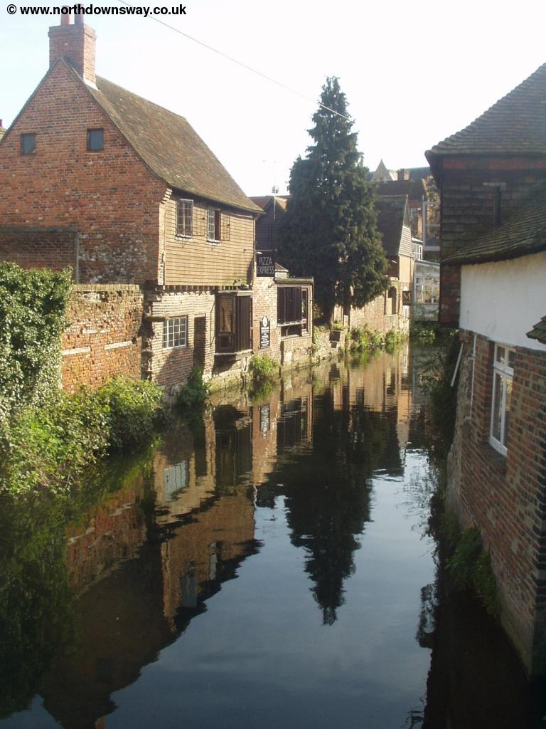
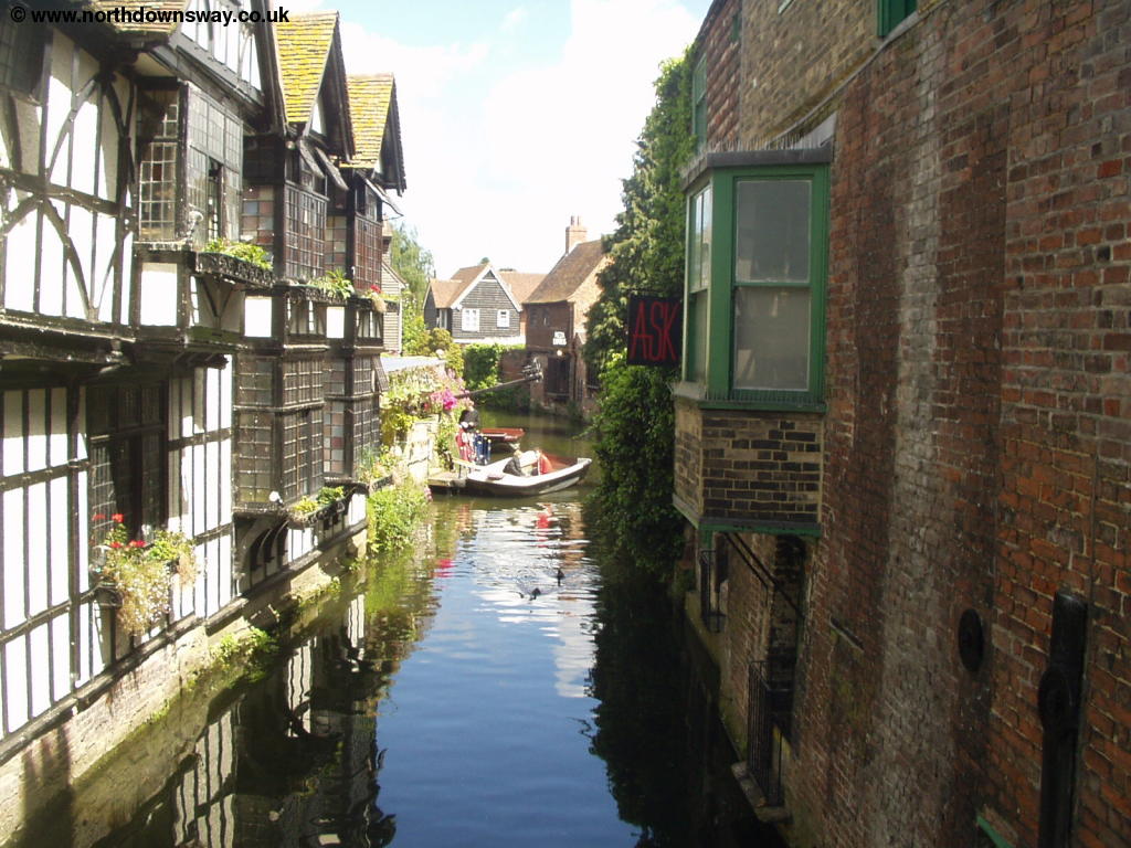
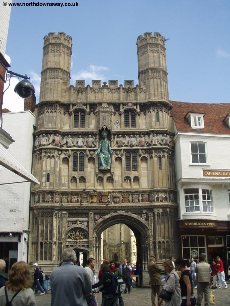
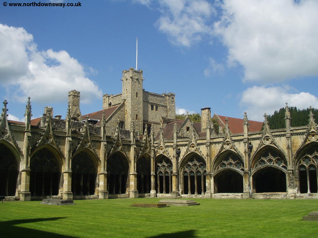
The North Downs Way enters the city centre via the Westgate and continues down St Peters. Canterbury really is a beautiful city and so it's worth taking some time to look round the very historic centre. As you walk towards the city centre you cross over the bridge where you can still see an old ducking stool and enjoy a boat trip. Further east you get to the beautiful entrance to the Cathedral. The Cathedral (and grounds) are the most famous attraction of Canterbury and are well worth a visit, although you do have to pay an admission charge (even to the grounds) and pay extra if you wish to take photographs inside the Cathedral. The city centre itself has a more continental feel than many British cities, and has quite a few street cafes. The central area is also pedestrianised, making walking round the city centre considerably more pleasant.
 |
 |
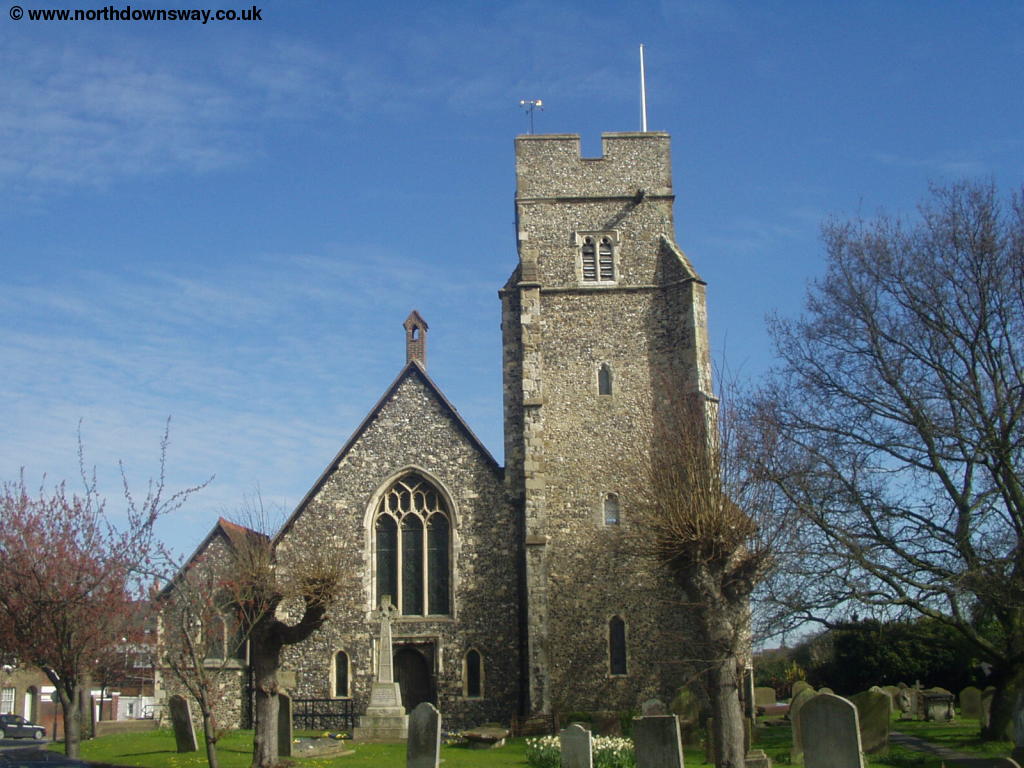
| St Dunstan's Church, Canterbury | Westgate |
 |
 |
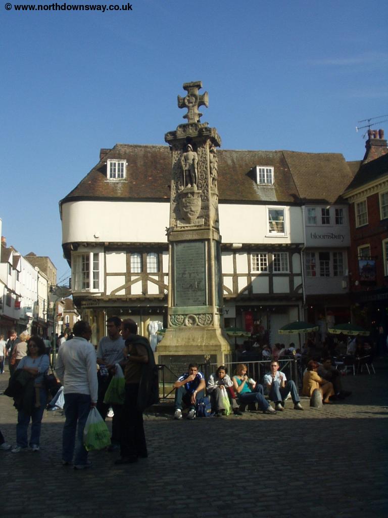
| Canterbury City Centre | Canterbury City Centre |
 |
 |
| Canterbury City Centre | Canterbury City Centre |
 |
 |
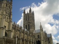
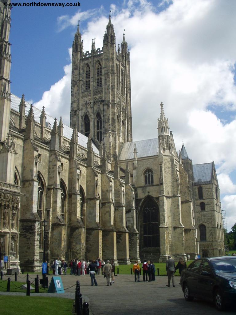
| Canterbury City Centre | Canterbury Cathedral |
 |
 |
| Canterbury Cathedral | Canterbury Cathedral |
Through the city-centre, the North Downs Way goes from Westgate, down St Peter's Street, then straight on over the bridge down the high street. At the Cathedral turn left down Mercery Lane then at the end of the lane turn right again down Burgate which you continue to follow to the main road round the city centre.
 |
| Near Canterbury City Centre |
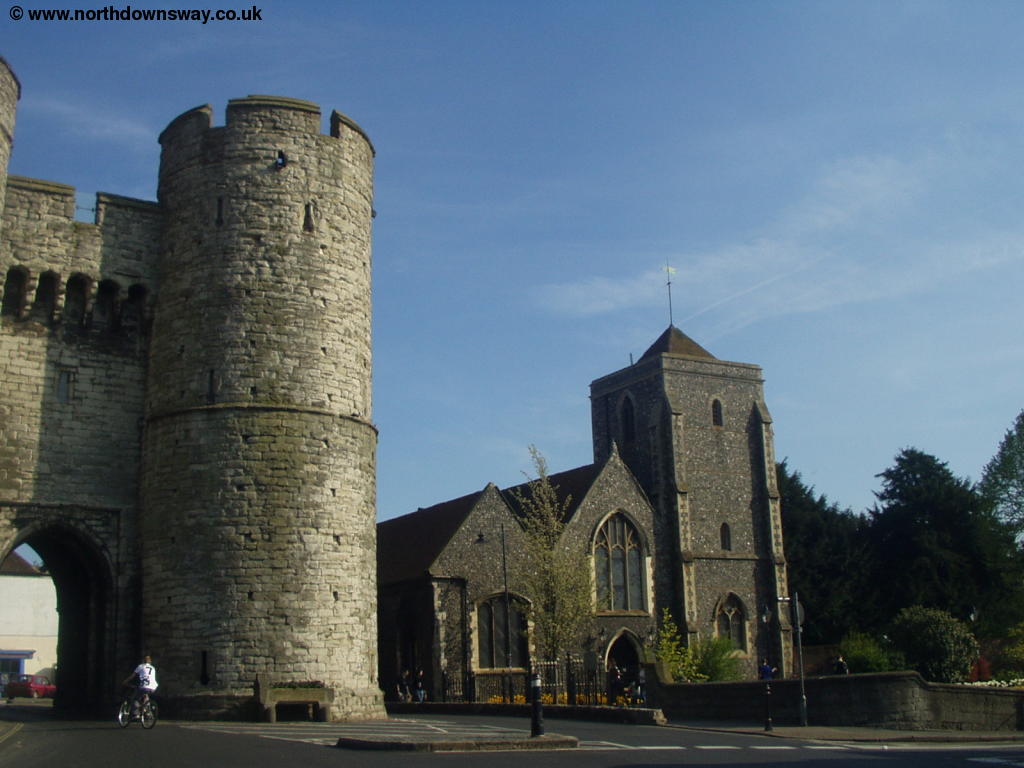
Behind you you can see part of the city walls. Continue across the main road at the crossing and go straight on into Church Street. Although the North Downs Way is signed through the city centre I found at least one sign that had been turned round to face the wrong way, so be warned! At the end of Church Street turn right into Monastery Street and continue down this street as it turns left (do not go down Love Lane). At the junction with Longport, continue straight on, down Longport. Shortly after the first road on the left (St Martin's Terrace), turn right into Spring Lane, then take the second right (Pilgrims Way), now walking through more peaceful residential streets. At the junction with St Augustine's Road, continue straight on, and at the junction with Pilgrims Road, turn right over the railway bridge, continuing down Pilgrims Way. Soon the houses come to an abrupt end, but the path continues on up the now narrow road, leaving Canterbury behind.
The path continues on this fairly wide lane, past some industrial buildings before opening out into large fields, giving views back to Canterbury behind you. This part of the path is also shared with the Elham Valley Way and is a popular cycling route. Continue under the power lines and at the junction of paths, continue straight on up the hill with the trees to your right. Soon a road joins to the right and you continue straight on, passing the Oast cottages on the left.
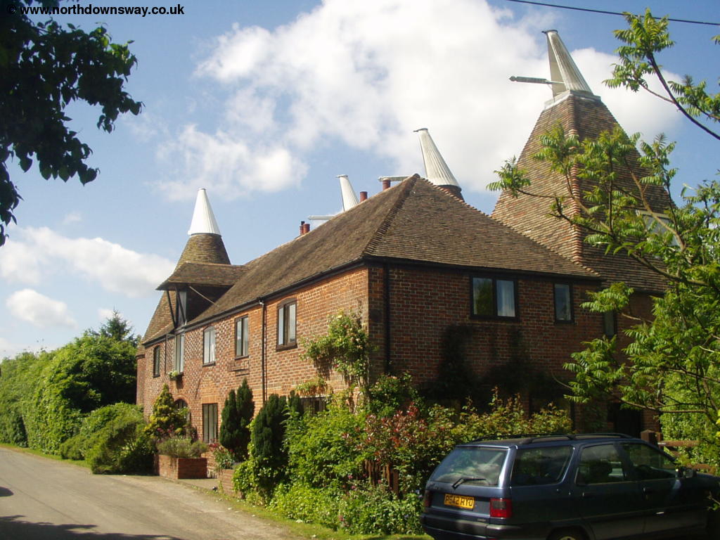 |
| An Oast Cottage next to the North Downs Way |
Continue along this lane, passing Hode Farm on the right. Soon the path begins to descend towards the village of Patrixbourne ahead. This road joins the busier road coming from the right, and at the junction go straight on into The Street through the centre of this small village. As the road comes to a junction, turn right (Patrixbourne Road) passing the attractive village Church.
 |
| Patrixbourne Church |
Soon you cross a small bridge then shortly after the path turns away from the road to the left. Here you enter a field climb away from the village towards the trees. As you reach the line of trees follow the path round the edge of it, where you can see the A2 bridge ahead. You start to get good views of the surrounding countryside as you climb through the edge of the field, passing another small clump of trees to the right.
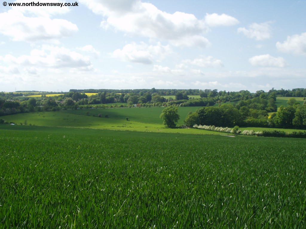 |
| View from the fields near Patrixbourne |
The path gets closer to the A2, but just before you get to this busy road, turn right, following the tree-lined path, which shields much of the noise from the road. Soon you emerge onto a driveway to a large house on the left which you cross.
 |
| The large house near the path |
Soon after crossing this lane, the path turns left, moving a little away from the A2. You come out into a very large field, with an obvious path across the middle of it, and a row of trees to the left. Crossing the small road you continue straight on into the next field.
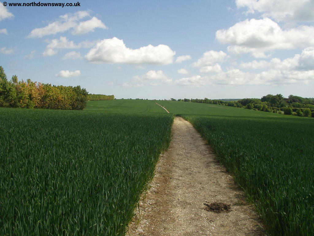 |
 |
| The North Downs Way passes through a field | The North Downs Way passes through a field |
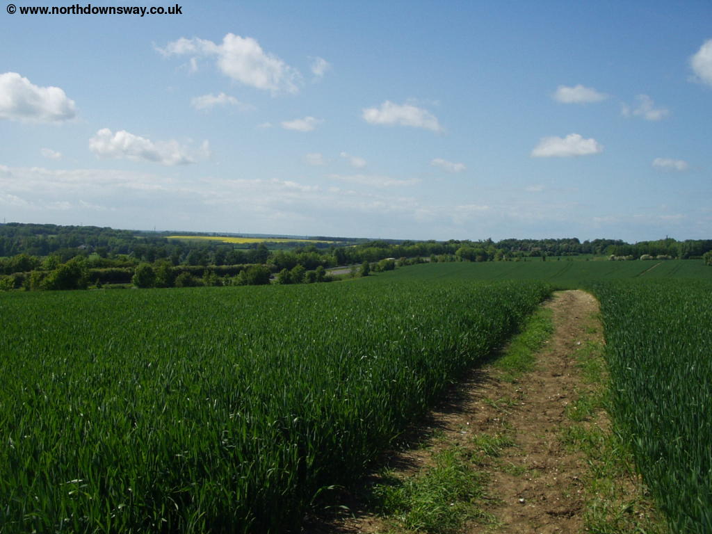
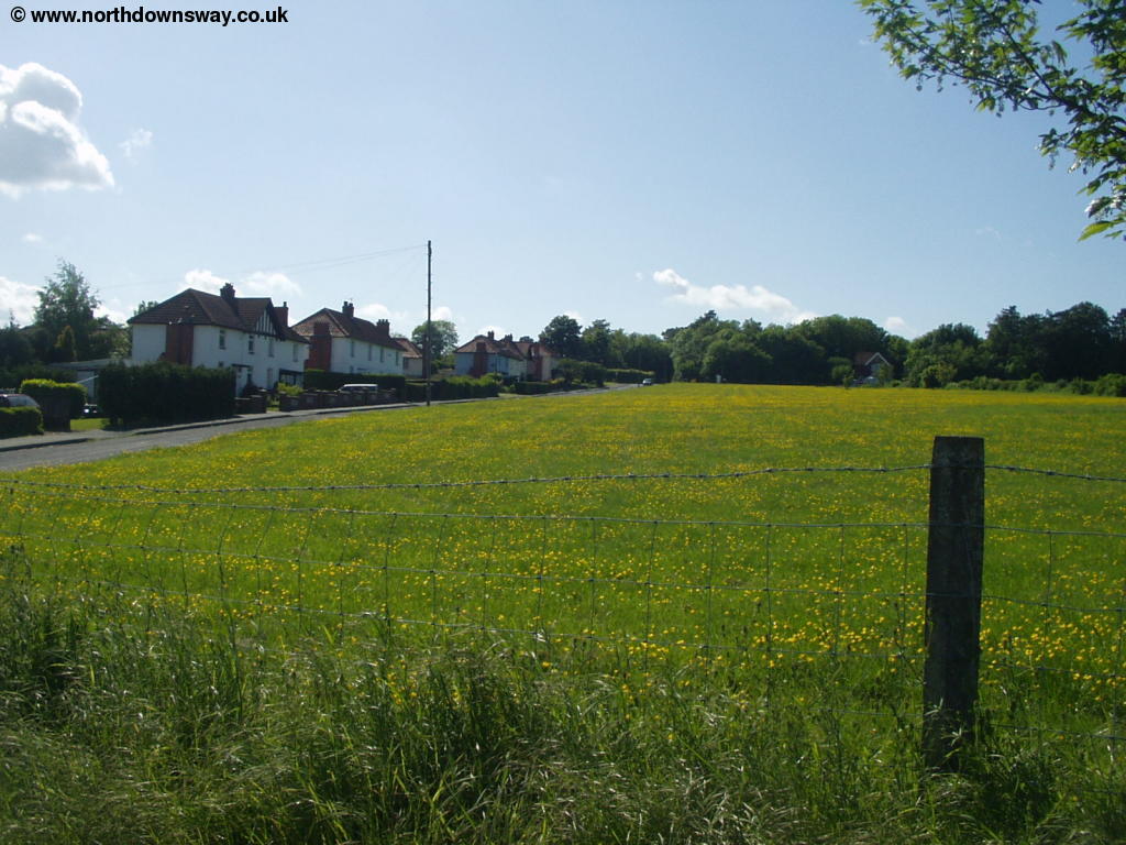
Soon you come to another small road again crossing it and continuing straight on into the next large field. Through this field, ignore the paths off towards the farm and continue across the field, over the lane to the farm. The path can be a little difficult to find through these large fields, and was very overgrown in places, especially through those fields that were planted with Oil Seed Rape.
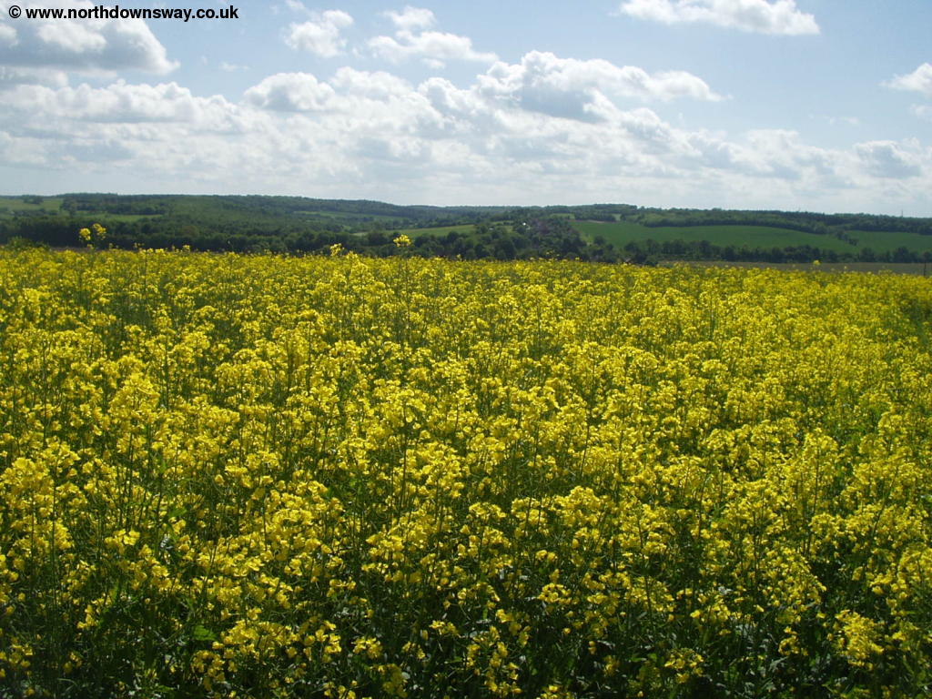 |
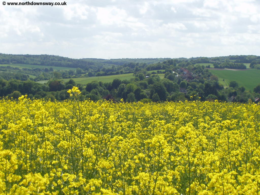 |
| Yellow fields on the North Downs Way | Yellow fields on the North Downs Way |
Through the next field the path stays to the left of the field, with a hedge to the left. Soon you come to the buildings of Upper Digges Farm, where you walk down a fence lined track briefly and follow the path to the left, soon passing a small lane through the field to the left, giving good views of the surrounding countryside.
 |
| View near Upper Digges Farm |
When you get to Adisham Road, cross the road and continue straight on. The path is now heading into the pretty village of Womenswold with it's thatched cottages. Cross the road through the village and continue straight on, along the edge of the field. Soon you come to another road, which you cross and head briefly through the edge of the wood. You quickly emerge from the wood onto another road, which you turn right and follow towards the village of Woolage Village. Before you get to the houses however you go over a stile to the left, through the edge of the field by the village. This village is considerably more modern than Womenswold.
 |
 |
| The North Downs Way near Woolage Village | Woolage Village |
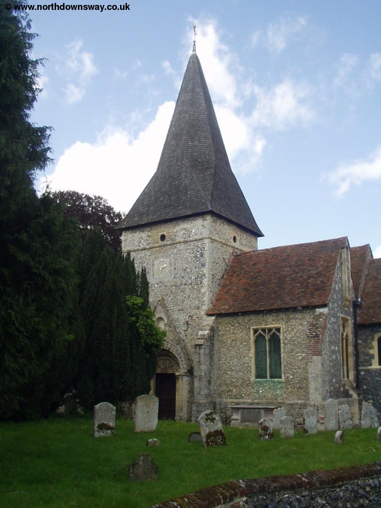
As you pass the village the path briefly turns right, then left again by the green, following a path next to the road down the hill. At the bottom of the hill you briefly join the road, but continue straight on when the road turns to the left. Here you climb the hill up to Three Barrows Down. You pass some trees on the left, near the top of the hill and then begin to descend again before climbing slightly towards the railway line. Cross the railway line via the road bridge, then turn almost immediately right towards Long Lane Farm. At Long Lane Farm you follow turn right onto the grassy track through the field with sheep grazing. At the end of this grassy field you emerge onto the road, which you cross by the railway line of the East Kent Railway at North Bank Level Crossing. The path is now passing the edge of Shepherdswell but the path continues past some houses then across another field, climbing towards the top of the hill, with houses visible on either side of the path. At the end of this field you emerge into a residential lane and continue to the centre of the small town, with it's green around the attractive church, the end of this walk.
 |
| Shepherdswell Church |
Getting Back
The easiest way of returning to Canterbury is by train from Shepherdswell Station. To get to the station from the church, head down Church Hill. As you get to the end of the road, turn right into Eythorne Road. Take the first left here (Station Road) to get to the small station, oddly named Shepherds Well, rather than the single word of the village name. Shepherdswell is on the line between Dover and Canterbury (and on to London Victoria) and has hourly trains, seven days a week, operated by South Eastern Trains. Canterbury has two stations (Canterbury East and Canterbury West), and the trains on this line go to Canterbury East, calling at the other villages near to the North Downs Way on the way to Canterbury.
There is an infrequent bus service operated by Stagecoach East Kent between Dover and Eythorne on weekdays only which calls at Shepherdswell Station and Siberts Close.
Links
The following web sites provide information on the area.
Every effort is made to ensure the accuracy of information on this site, but liability will not be assumed in the event of any inaccuracies. Use of the information on this site is at your own risk. If you find any err ors, please use the link below. The text and photographs on this web site are all Copyright © and may not be r eproduced without prior permission.