Cuxton to Boxley |
Introduction
This walk begins in the small village of Cuxton and then crosses the spectacular Medway Bridge (that carries the M2 and Channel Tunnel Rail Link), over the river Medway near Strood. The path climbs away from Medway Bridge, giving good views of the river and Rochester in the distance as it heads south towards Kits Coty and the burial chamber, thought to date from 2000BC. This is followed by a steep climb back up onto the downs and then a steep descent into the pretty village of Boxley, the end point of this walk.
Getting to the Start
Cuxton is on the A228 that links junction 2 of the M2 with junction 4 of the M20 and so is easy to get to. There isn't a car park, as far as I know, in Cuxton, only on street parking. If you prefer to park near the station, there is normally space in Station Road, which is on the other side of the A228 from the rest of the village. If you prefer to park near the start of the walk, there are several residential streets near the start of the walk, so you shouldn't have a problem finding a space.
If you're travelling by public transport, there is a station at Cuxton, which is on the Medway Valley Line, linking Strood with Maidstone and Tonbridge. Trains run half hourly Monday - Saturday and hourly on Sundays (although are due to be reduced to hourly in the near future). If travelling from London, the fastest way is to use the North Kent Lines from London Charing Cross, Waterloo East (for London Waterloo) and London Bridge (as well as some peak-time trains from London Cannon Street), connections for this line are printed in the timetable. An alternative is to travel from London Victoria to Maidstone East, then cross to nearby Maidstone Barracks for the trains to Cuxton.
The Walk
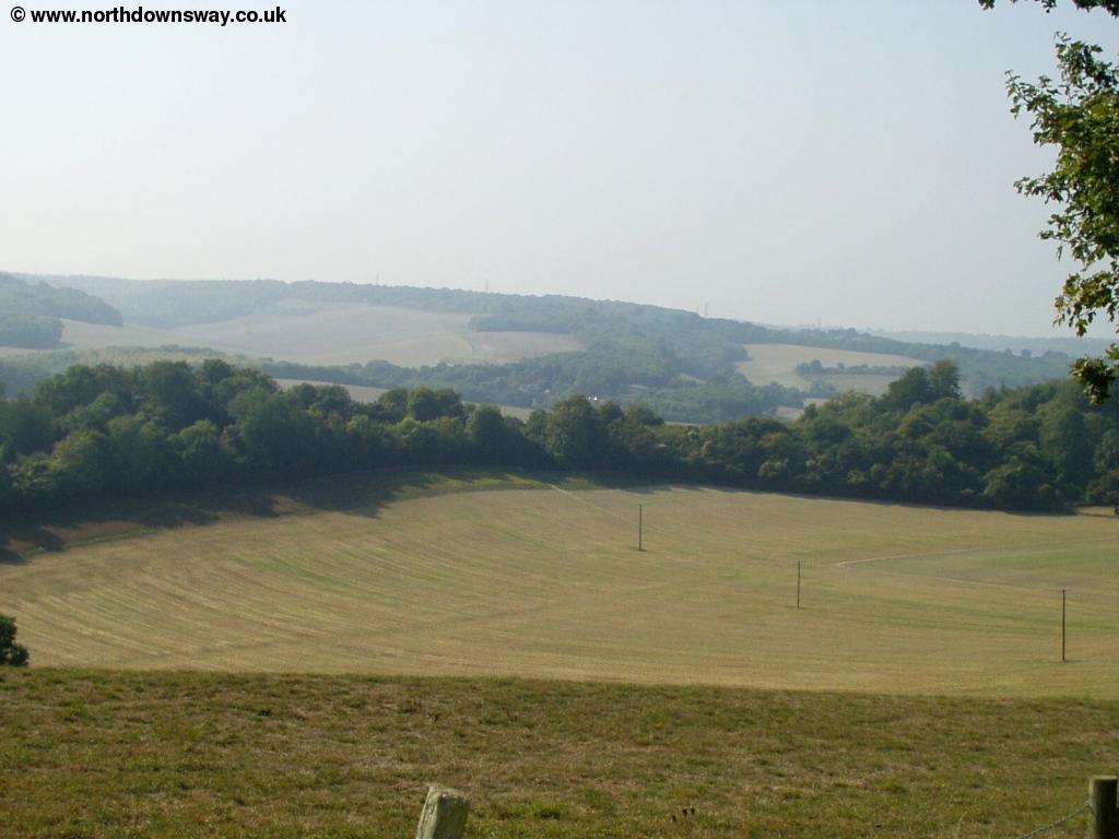
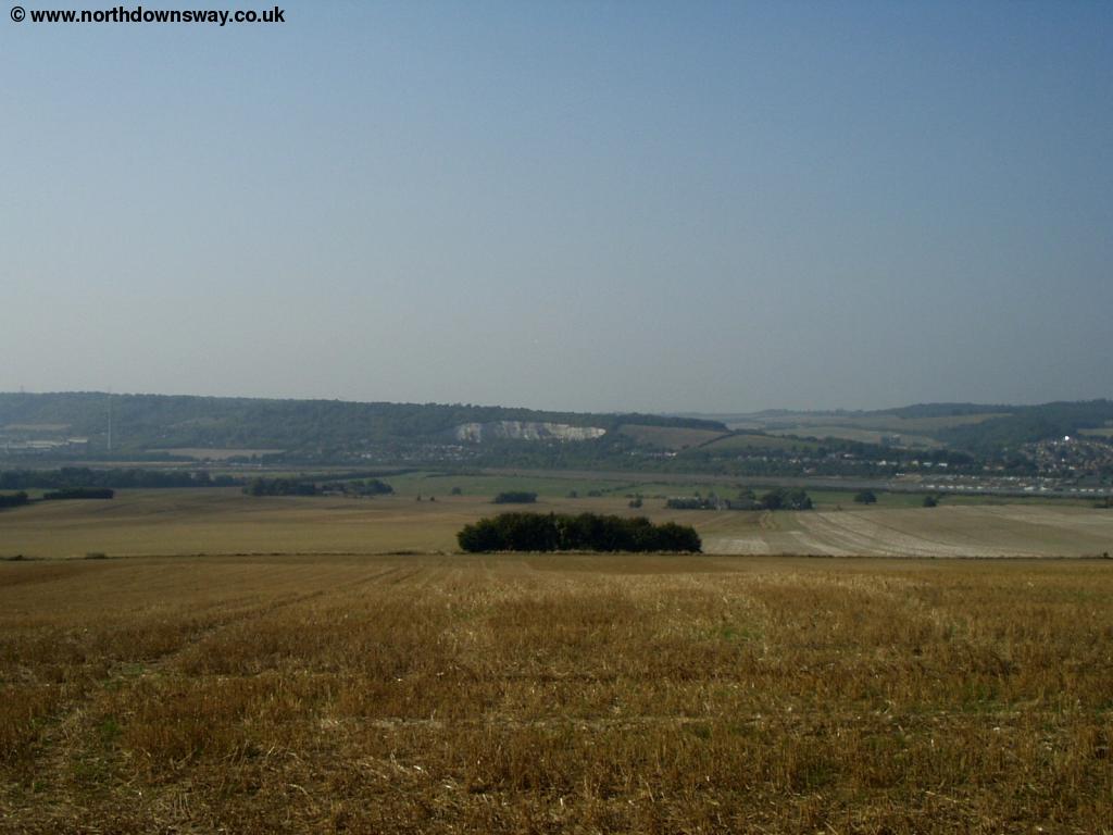
To get to the North Downs Way from Cuxton either follow the main road through the village (Bush Road), where there is a path to the right back onto the North Downs Way from opposite Court Lodge or take the path under the railway line from the end of White Leaves Rise in the village. The path quickly climbs up the fields to the top of the downs again, where there are good views over the hills towards Cuxton and the river Medway below.
 |
 |
| Near Cuxton | The River Medway near Cuxton |
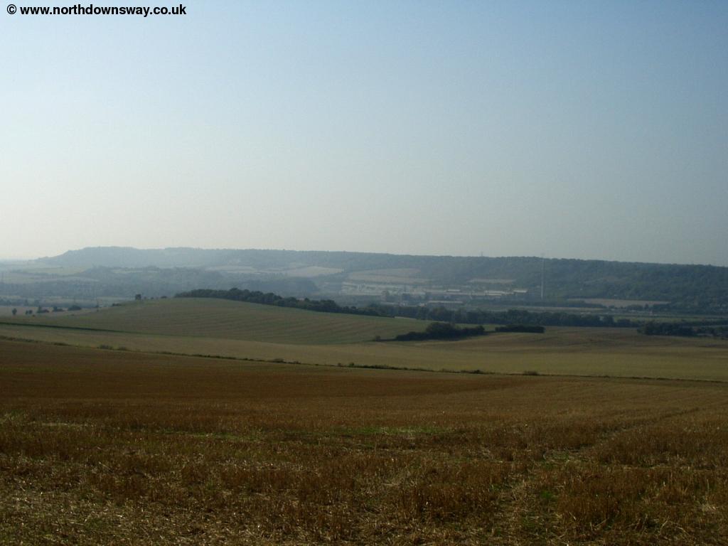
The path continues for a short distance at a high-level before descending towards the road and railway line below.
 |
 |
| The River Medway near Cuxton | The River Medway and the Medway Bridge |
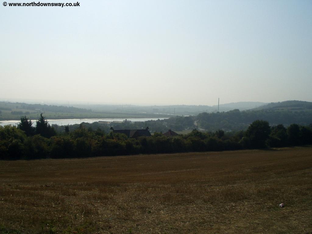
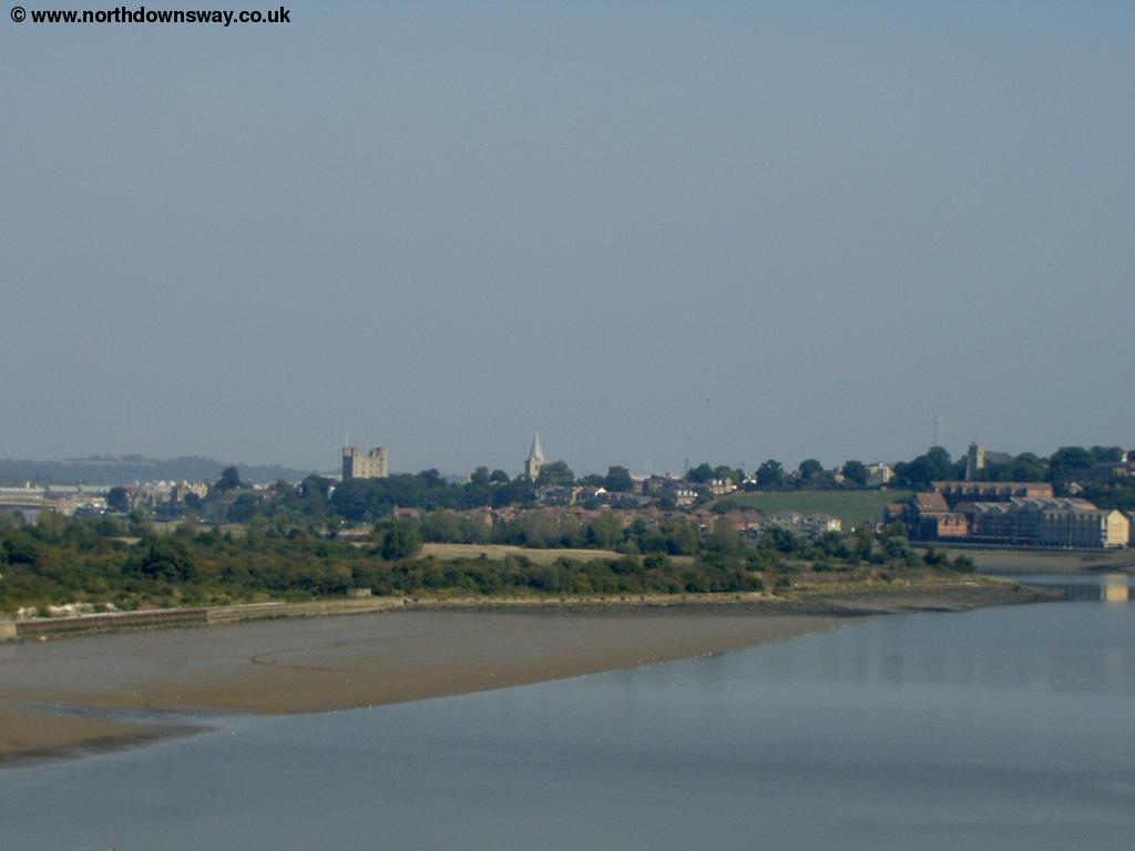
As the path gets to the bottom there is a tunnel under the A228. Once through the tunnel the path then goes over the new Channel Tunnel Rail link and follows next to the A228 for a short distance, where you cross the M2. Then take the newly built path (and cycle path) to the right shortly after crossing the bridge over the M2, this leads down to a foot way onto the Medway Bridge. There has been a lot of construction work here recently, mainly for the Channel Tunnel Rail link which crosses adjacent to the M2, however there is also a new foot way to the left of the motorway (so new it was still being painted when I walked it), which is the North Downs Way. The bridge is very high and there are superb views towards Rochester on the bridge where you can see the castle and cathedral.
 |
 |
| Rochester Castle and Cathedral from Medway Bridge | The River Medway from Medway Bridge |
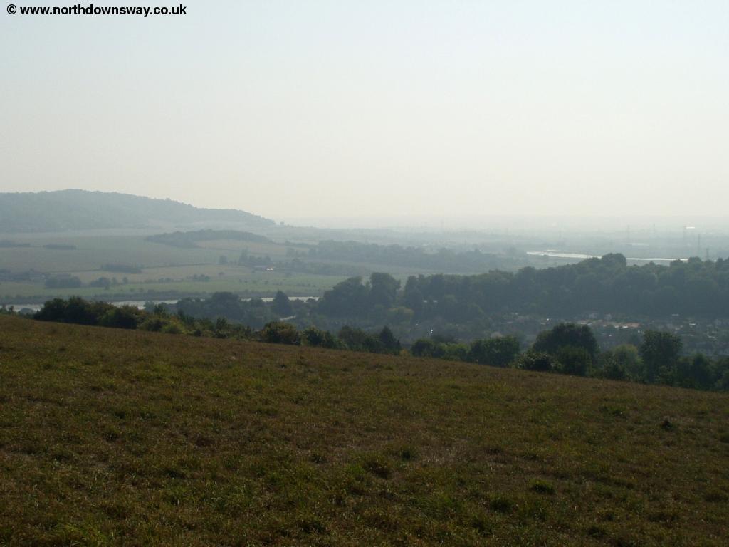
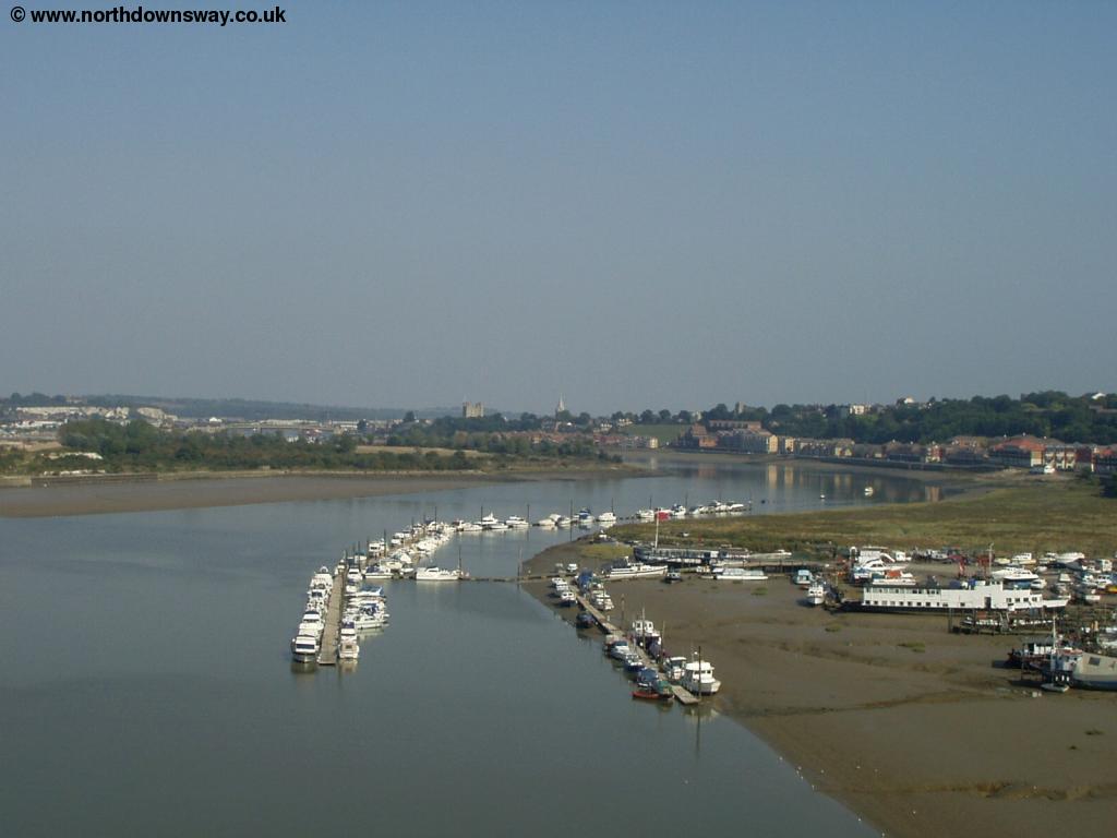
Once over the bridge follow the path down and under the bridge. The signage here wasn't good and there are several roads, but the correct one to take is Nashenden Farm Lane. This is a narrow lane below the motorway, but as you get to the farm, the North Downs Way goes off to the right, past the farm buildings and begins to climb into fields once more. At the top of the climb there are excellent views of the river towards Cuxton.
 |
 |
| The Medway Bridge | View near Ivy Cottage |
 |
 |
| View near Ivy Cottage | View near Ivy Cottage |
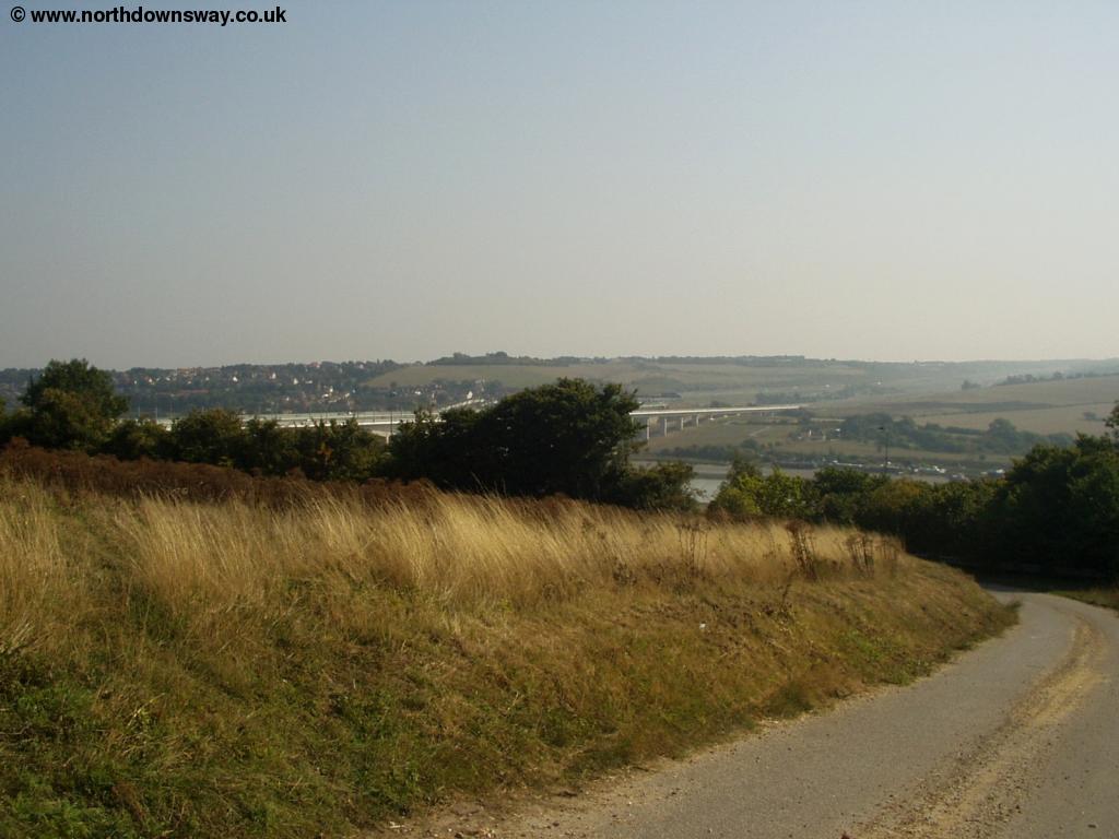
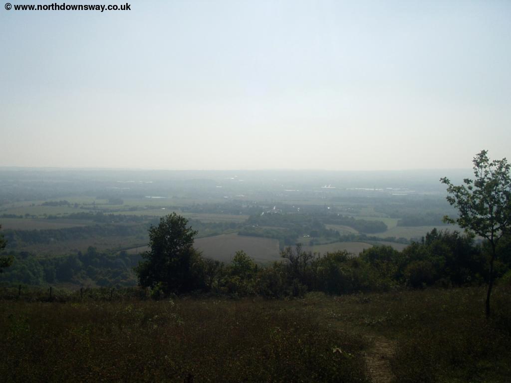
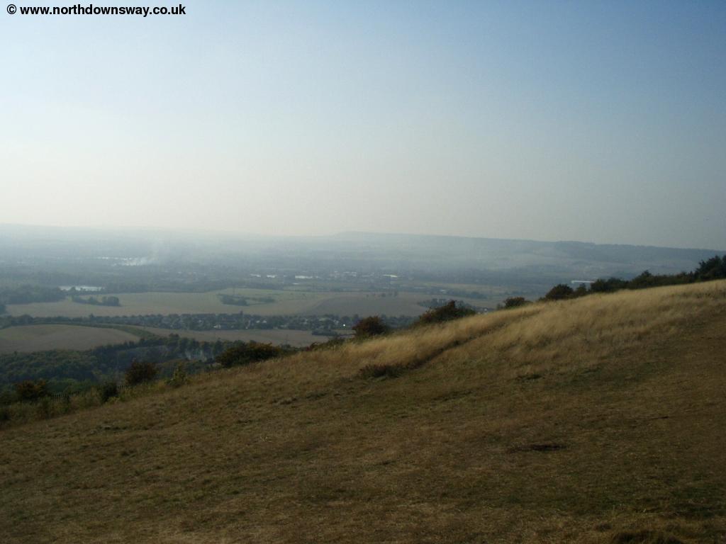
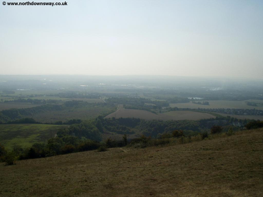
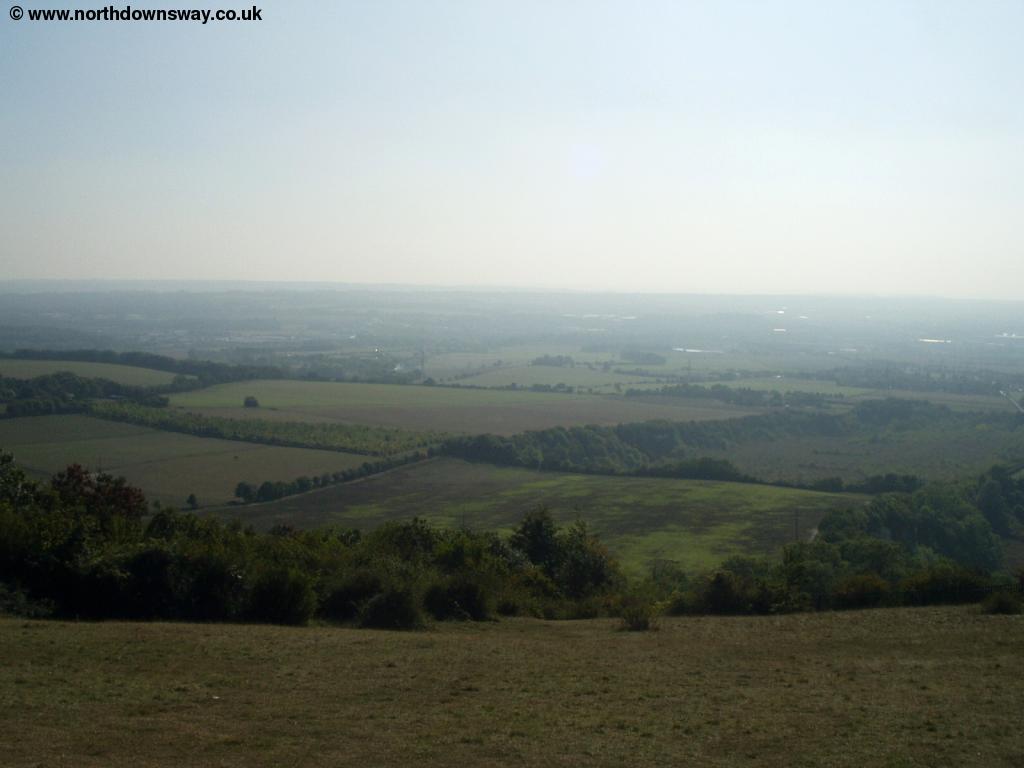
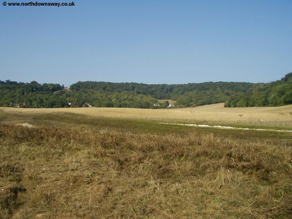
As the path continues it widens as it pases the edge of Wouldham Common, (watch out for motorbikes being ridden along the path here), which gradually widens into a road. The path continues on the road, past Burham Hill Farm. The road comes to a small junction, near The Robin Hood pub, but continue straight across into Common Road, a quiet drive that pases the spectacular Fair View on the right. Continue along this road until you get to the popular Bluebell Hill Picnic spot. The views from here are fantastic, and there are several seats from which to admire the view. Sadly, there is also a memorial to the brave crew of the Kent Air Ambulance, who were tragically killed when it crashed near here in 1998.
 |
 |
| View from the Bluebell Hill Picnic Site | View from the Bluebell Hill Picnic Site |
 |
 |
| View from the Bluebell Hill Picnic Site | View from the Bluebell Hill Picnic Site |
 |
 |
| View from the Bluebell Hill Picnic Site | View from the Bluebell Hill Picnic Site and Kent Air Ambulance memorial |
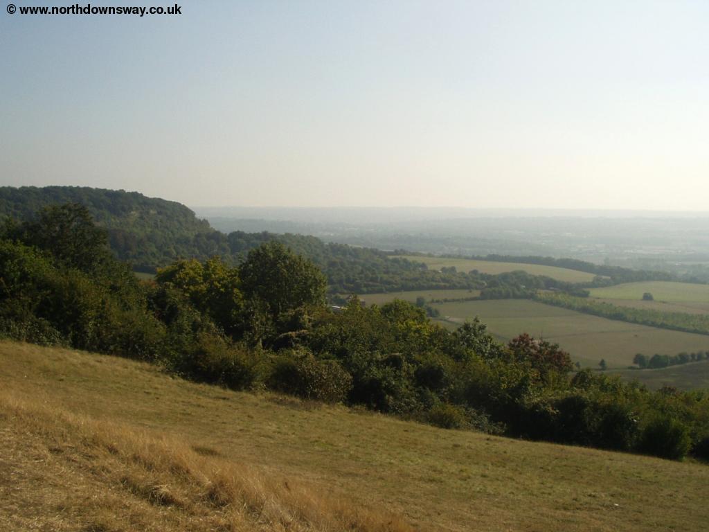
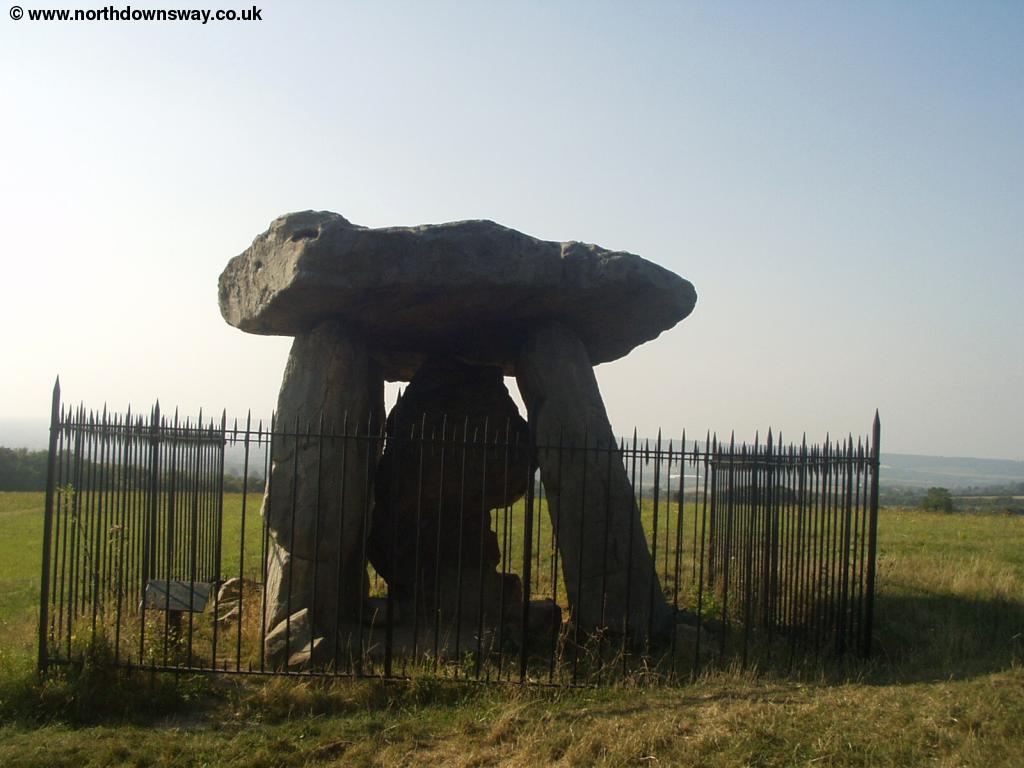
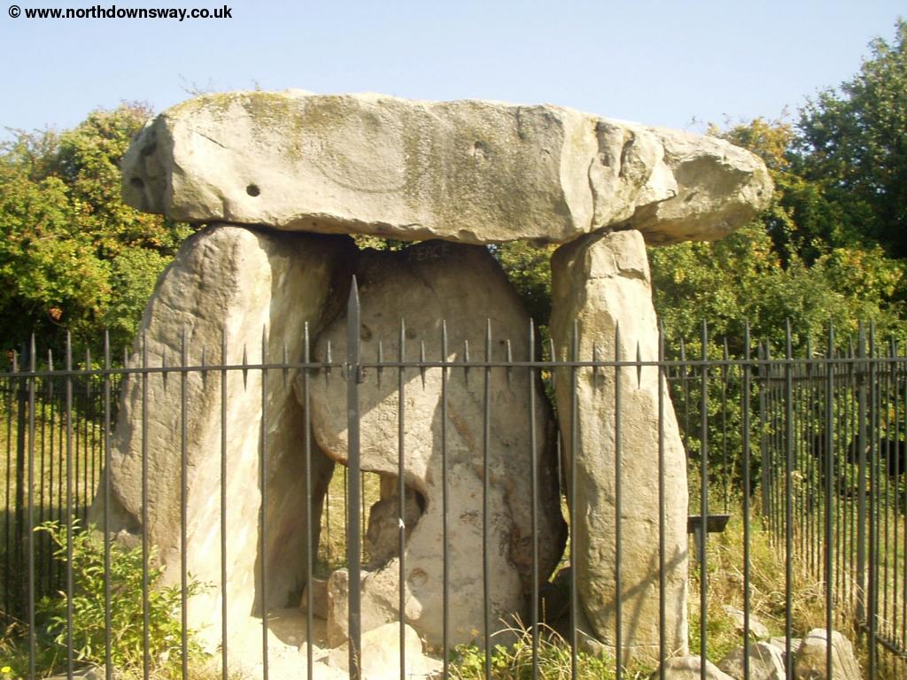
Leave the picnic spot and go back onto the main road, where the North Downs Way goes off to the right again shortly. The path goes next to the busy roads here, but is well signed. Fortunately, the path does not follow right next to the A229 but continues on a footpath next to it, with a few trees between the path and the road, and some good views in places. After a while you go past a field, look for the entrance into the field, where you will find the spectacular Kits Coty House Burial Chamber, with three impressive stones. The site is believed to date back to around 2800BC.
 |
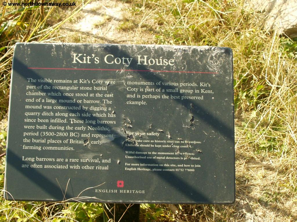 |
| Kits Coty House | Information sign |
 |
 |
| Kits Coty House | View from Kits Coty House |
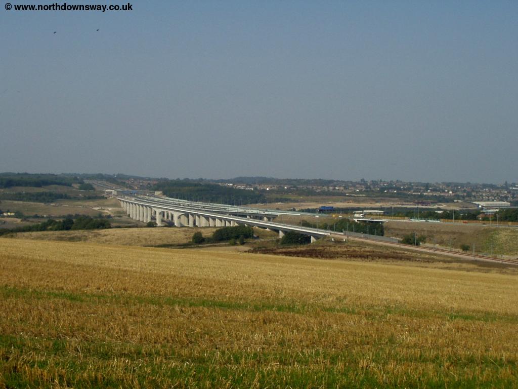
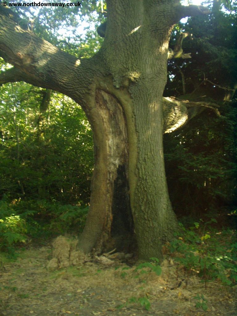
Once back onto the path, continue down the hill where you come to a road junction, you need to cross slightly left of straight on, but it is well signed. A small diversion from the path here will take you to Little Kits Coty House. The path then descends to an underpass under the A229 where you come out onto a road by a garage. Cross over the road and follow the path onto a bridge over the railway line where the path then begins to climb rapidly up the hill through some woods. The climb is quite long and there is a large partly hollow oak tree just before the top. The path then follows the edge of a field where there is a brief glimpse back to the bottom by the pylons.
 |
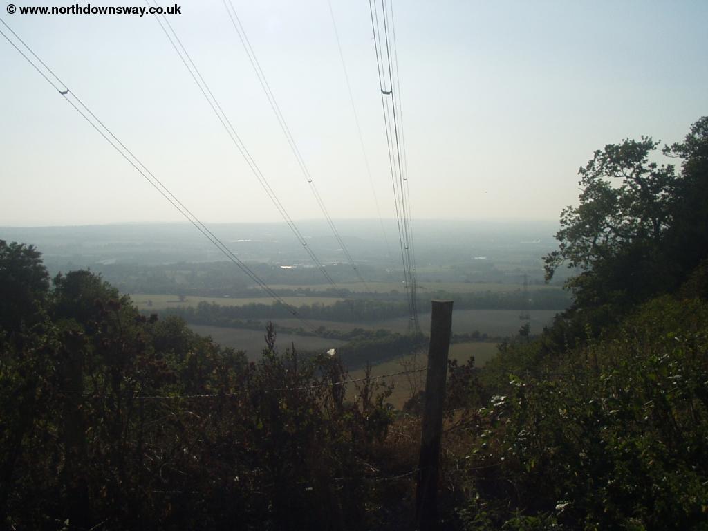 |
| The partly hollow Oak | View back down |
Continue following the path round the edge of the field where it turns to the left and then turns back right again. Pass Harp Farm and continue to the junction at the end of the road. Here there are two choices, to continue onto the North Downs Way for a short distance, where there is a path down towards the church, or go down the road to the right (Lidsing Road). The path further along the Downs is part of the Maidstone Centenary Walk and is the safer but longer route. The other path involves walking in the road for a short distance, however it's a fast and busy road, without pavements and is quite twisty, giving poor visibility. It is possible to walk in the woods by the side of the road, but it's a bit of a scramble. About halfway along the road towards Pilgrims Way there is a foot path down into the village. The centre of the village is small but attractive and has a pub.
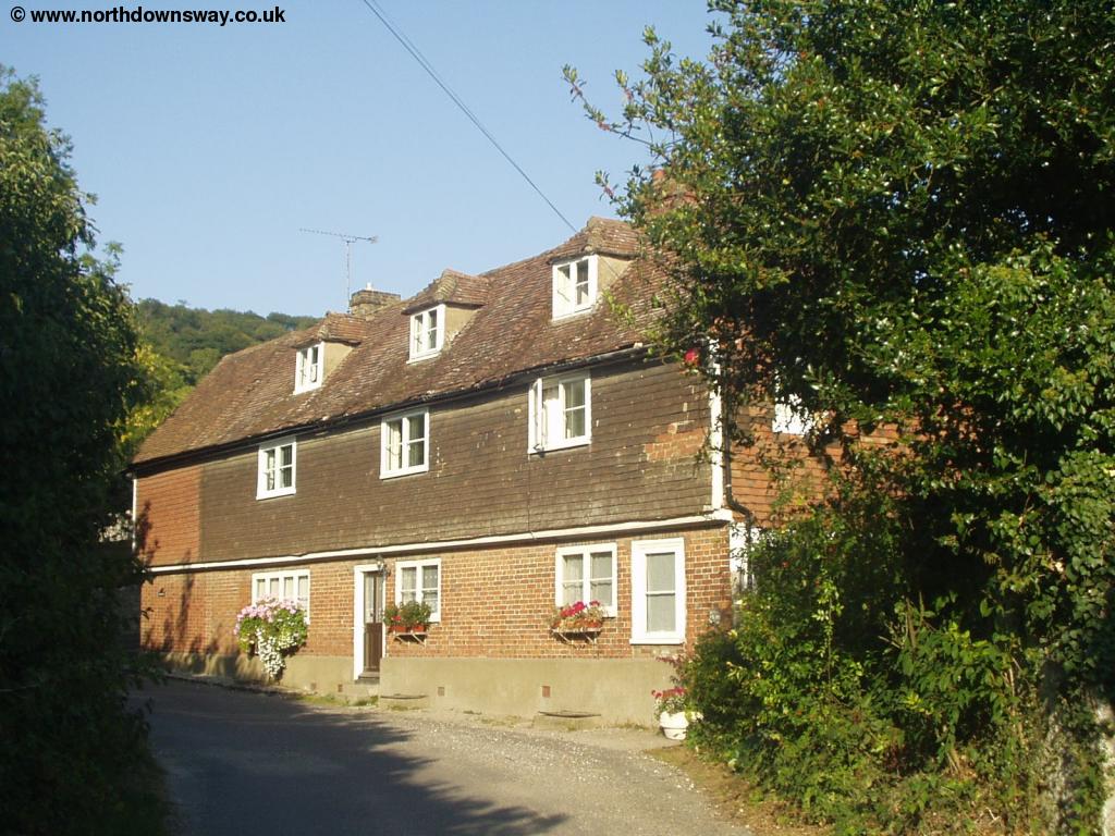 |
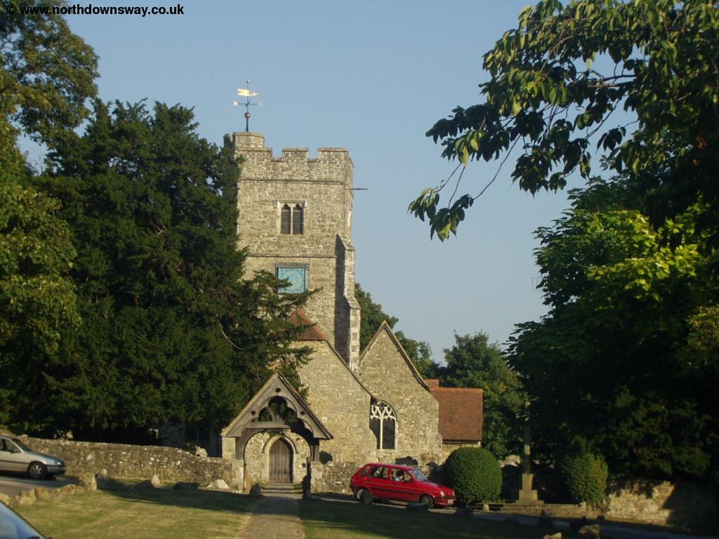 |
| Boxley | Boxley |
 |
|
| Boxley |
Getting Back
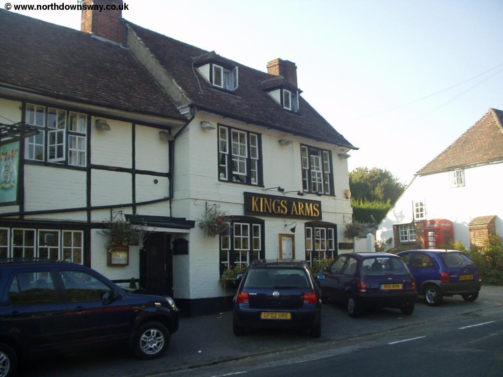
Boxley is around one and a half miles north of Maidstone. There is a bus service, running approximately hourly on weekdays (less frequently on Saturdays and not at all on Sundays), number 130 operated by Nu-Venture that goes to Maidstone. The buses depart from opposite the The Kings Arms pub. If the bus is not running, or there is a long wait, walk towards the Church and follow the footpath past the church (keep to the left of the church). The path is called the Maidstone Centenary Walk but becomes a little difficult to follow once over the rail line, but you should get to a tunnel under the road, coming out onto the edge of Maidstone. From here it's street walking into the centre of the town.
From Maidstone, there are trains every 30 minutes (hourly on Sundays, and soon the rest of the week) back to Cuxton. The trains go from Maidstone West and Maidstone Barracks stations. Both stations are well signed from the town centre. Maidstone Barracks is close to Maidstone East Station and nearer the town centre. Maidstone West is just across the river. The station in Cuxton is just across the other side of the road from the rest of the village.
Links
The following web sites provide information on the area.
Every effort is made to ensure the accuracy of information on this site, but liability will not be assumed in the event of any inaccuracies. Use of the information on this site is at your own risk. If you find any errors, please use the link below. The text and photographs on this web site are all Copyright © and may not be reproduced without prior permission.