Hollingbourne to Boxley
Hollingbourne to Boxley | |
Introduction
A change of direction for this walk, from the village of Hollingbourne, near Leeds Castle to Boxley. From Hollingbourne the path rapidly climbs to give stunning views over the downs. The path continues at a high-level through open countryside for the first few miles with fantastic views the whole way. After a few miles you pass the remains of Thurnham Castle before the path descends into Detling. A new crossing takes you over the A249 and back onto the downs. This last part of the path is mostly through the edge of a wood before a steep descent into the attractive village of Boxley.
Getting to the Start
Hollingbourne is just off junction 8 of the M20. On leaving the motorway turn onto the A20 towards Leeds Castle, continue on the A20 at the first roundabout, then turn left onto the B2163, signed Hollingbourne. This road takes you through Eyhorne Street into Hollingbourne. Parking in Hollingbourne is limited. There is a small car park at the station in Station Road, however there is only room for about half a dozen cars and it's quite isolated at the end of a narrow lane. Alternatively, there is on-street parking in many of the roads in the village.
If you're travelling by public transport, there is a station at Hollingbourne, which is on the Maidstone to Ashford and Canterbury line. Currently it gets hourly trains, operated by South Eastern Trains, from London Victoria, Maidstone East and Ashford International, as well as a few through trains from Canterbury West and Margate. There are however plans to cut the service to Hollingbourne station to just a weekday peak-time only serivce. The station is at the end of a Station Road, and is a little over half a mile from the centre of the village.
The Walk
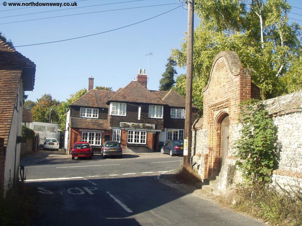
The North Downs Way pases through Hollingbourne. From the centre of the village head North up Upper Street, crossing Pilgrims Way and into Hollingbourne Hill. The path starts just to the left a short distance up the road, where it climbs up onto the downs.
 |
 |
| Hollingbourne | Hollingbourne Church |
 |
 |
| Hollingbourne | Climbing out of Hollingbourne |
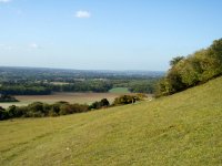
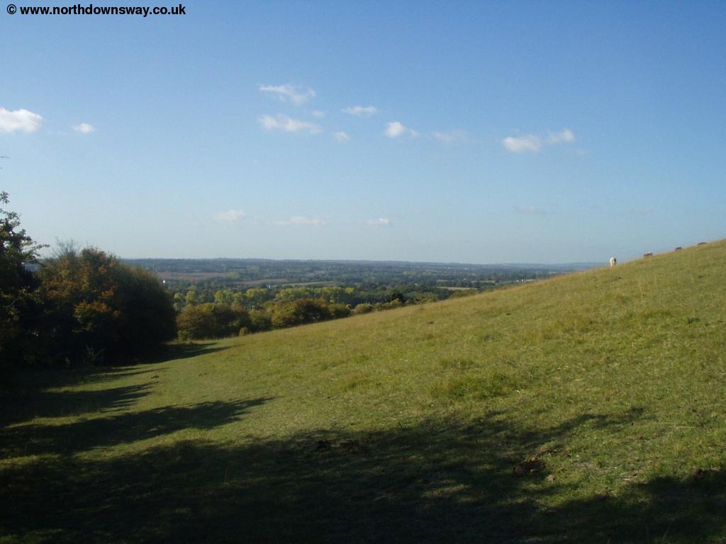
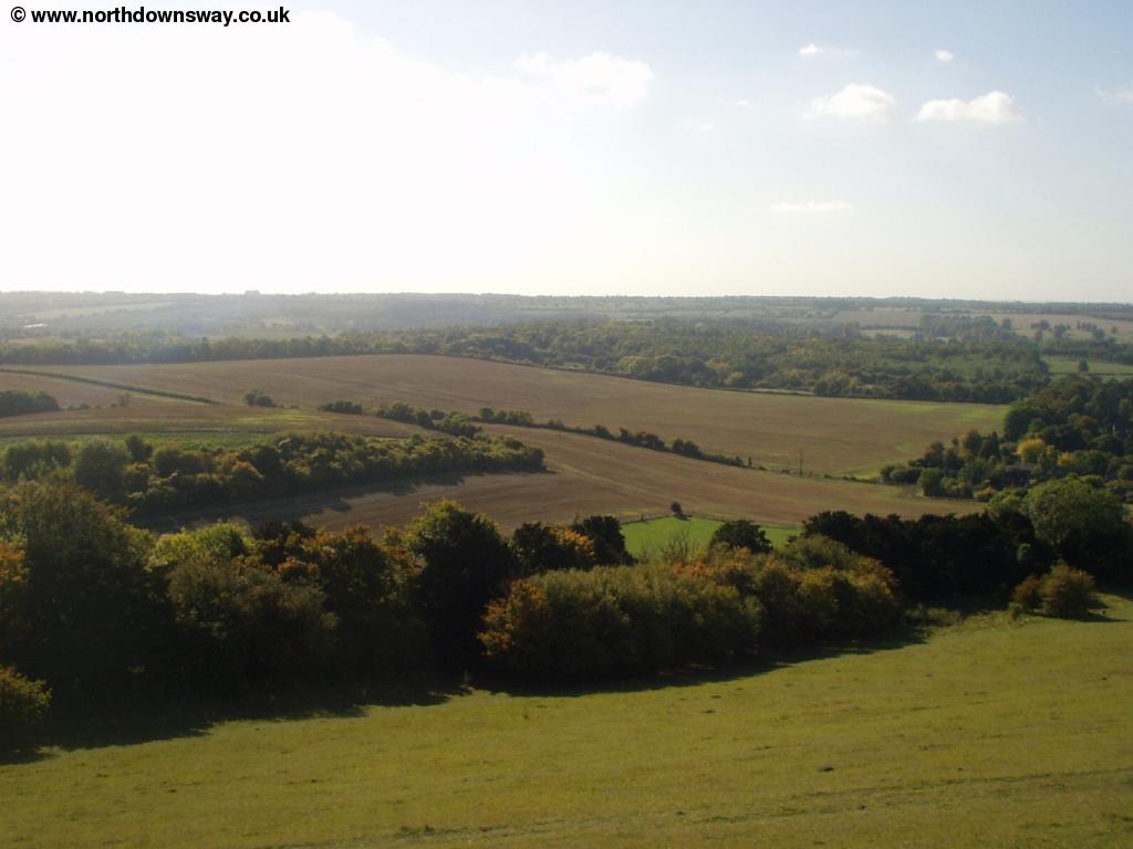
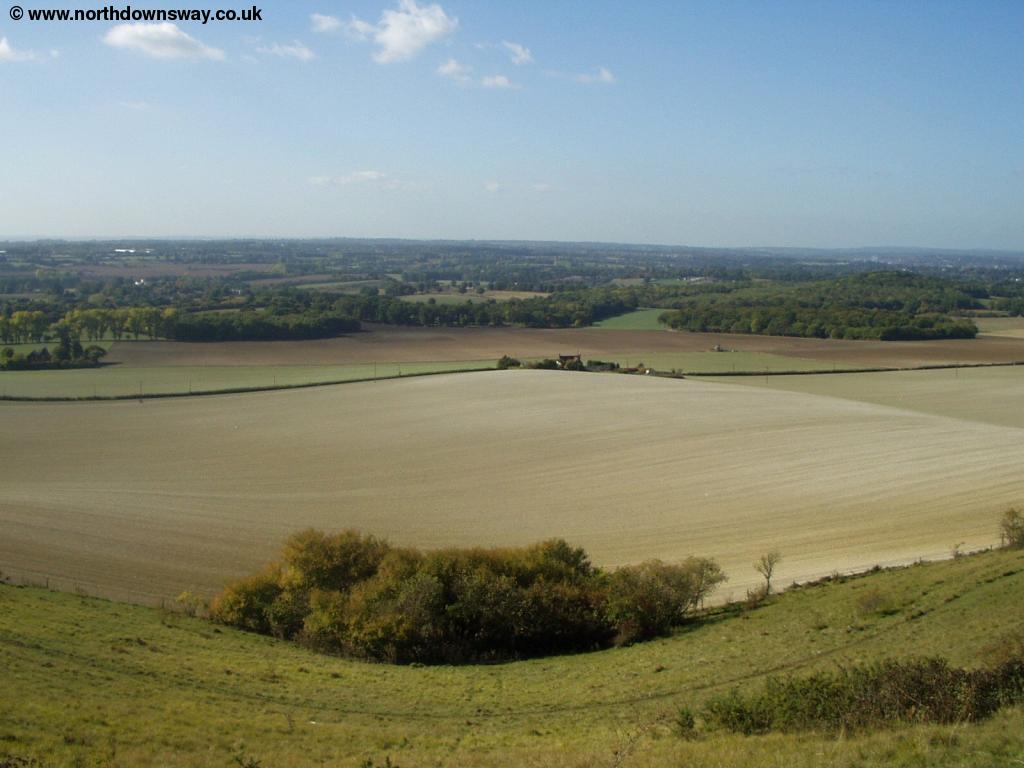
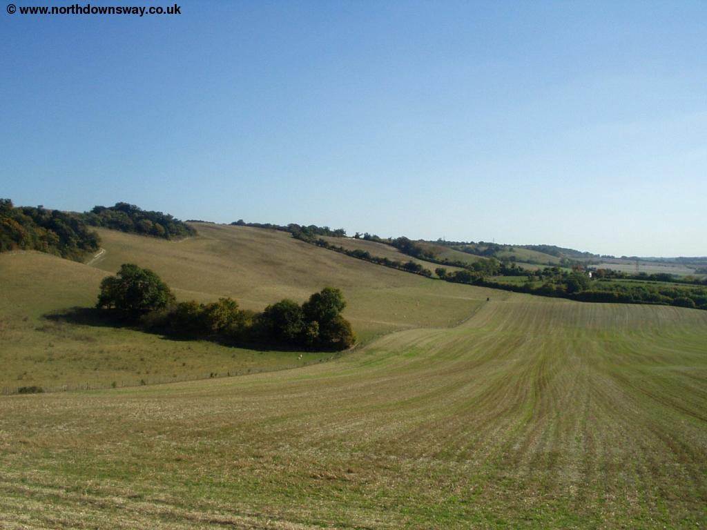
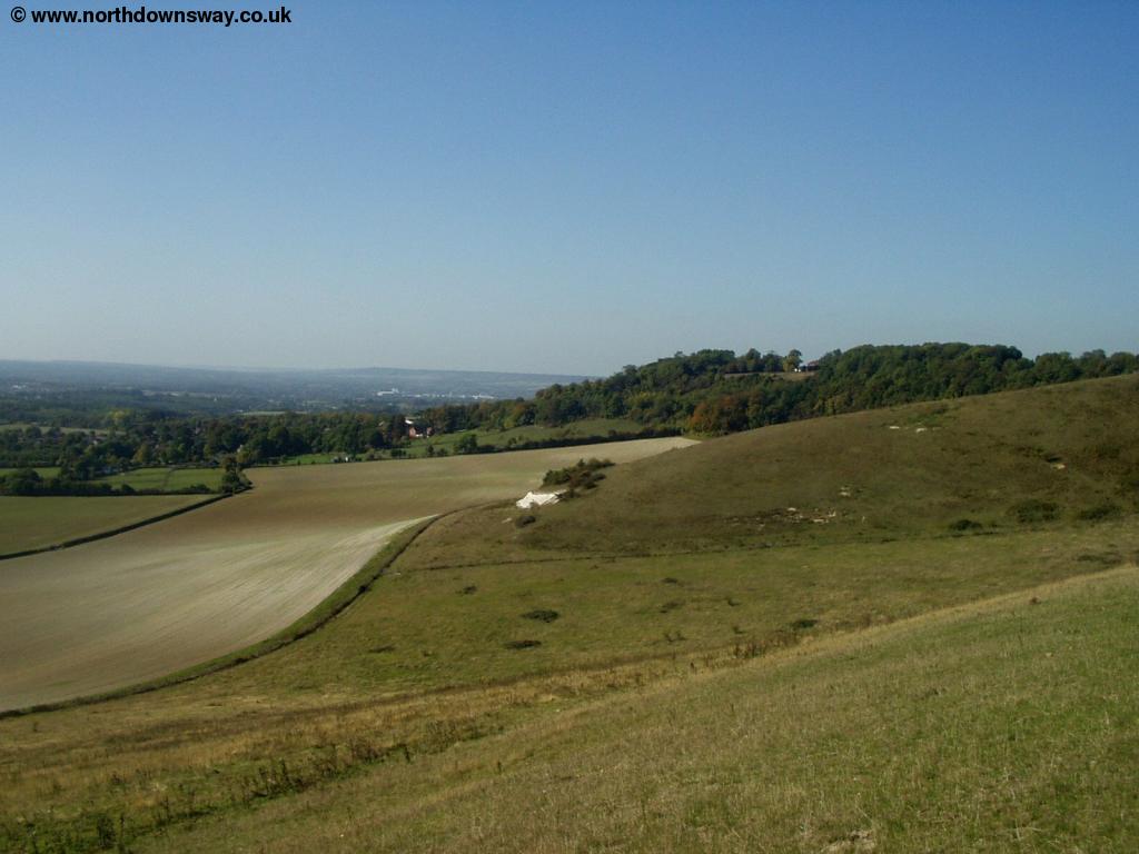
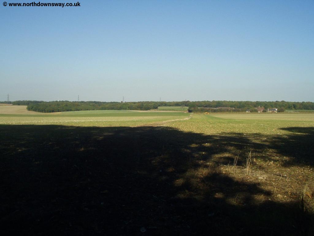
Once at the top of the downs, the path continues at a high-level for the next couple of miles, and the path is fairly open most of the time, giving stunning views over the Kent countryside.
 |
 |
| View from the downs near Hollingbourne | View from the downs near Hollingbourne |
 |
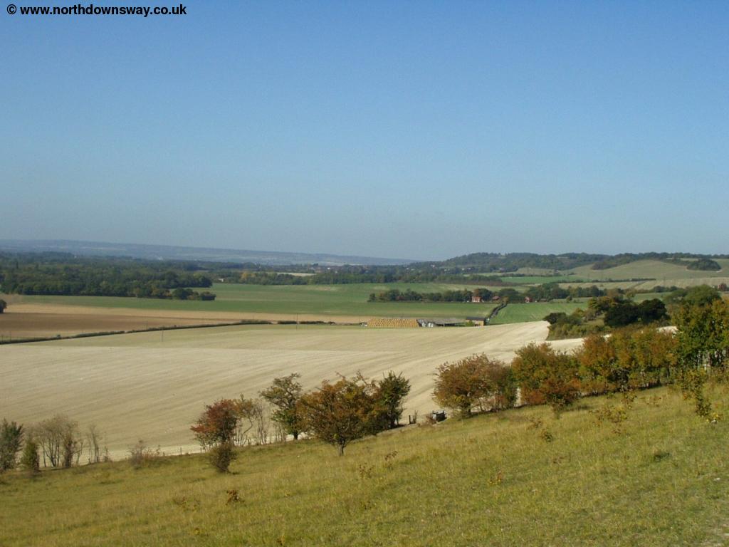 |
| View from the downs near Hollingbourne | View from the downs near Hollingbourne |
 |
 |
| View from the downs near Hollingbourne | View from the downs near Hollingbourne |
 |
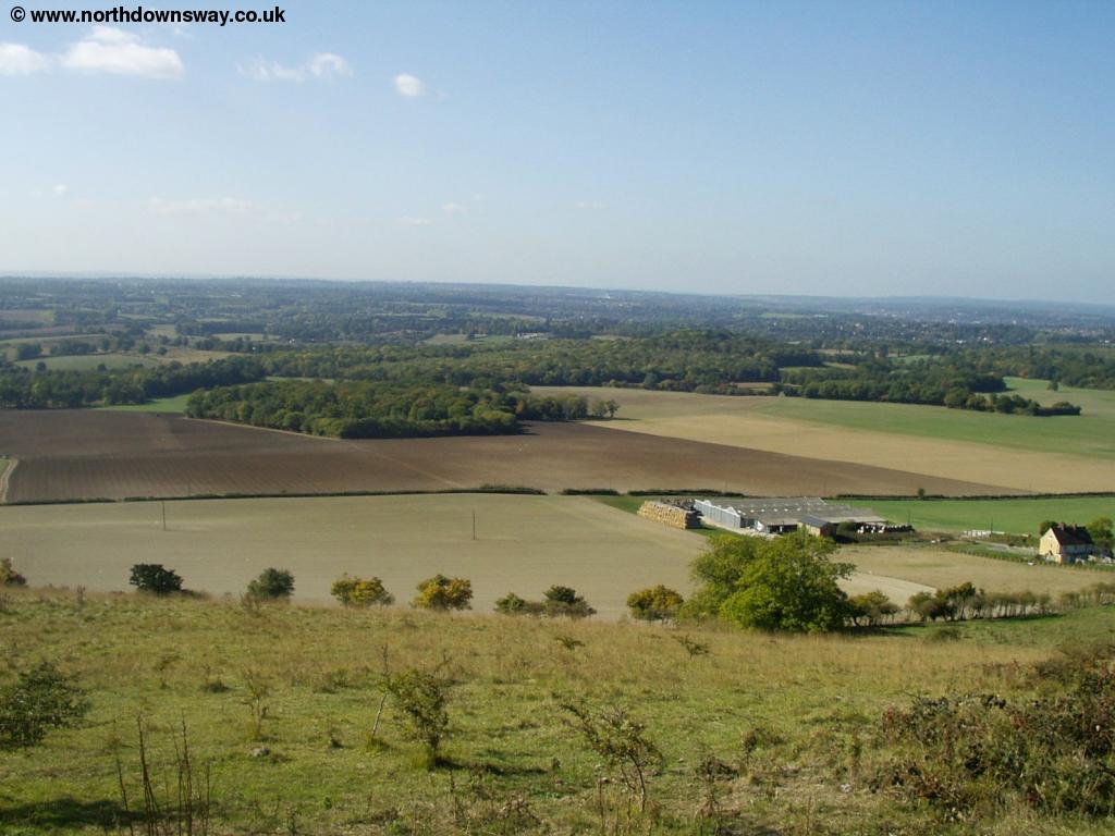 |
| Allington Farm | Allington Farm |
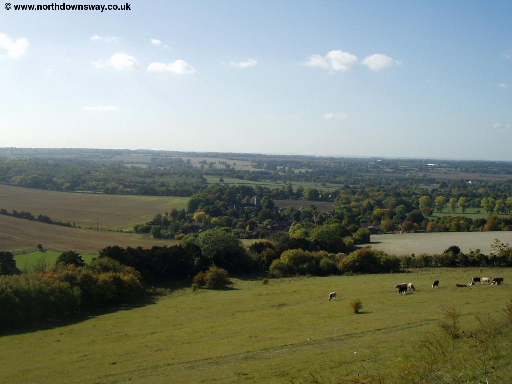
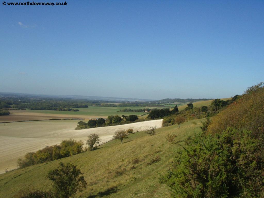
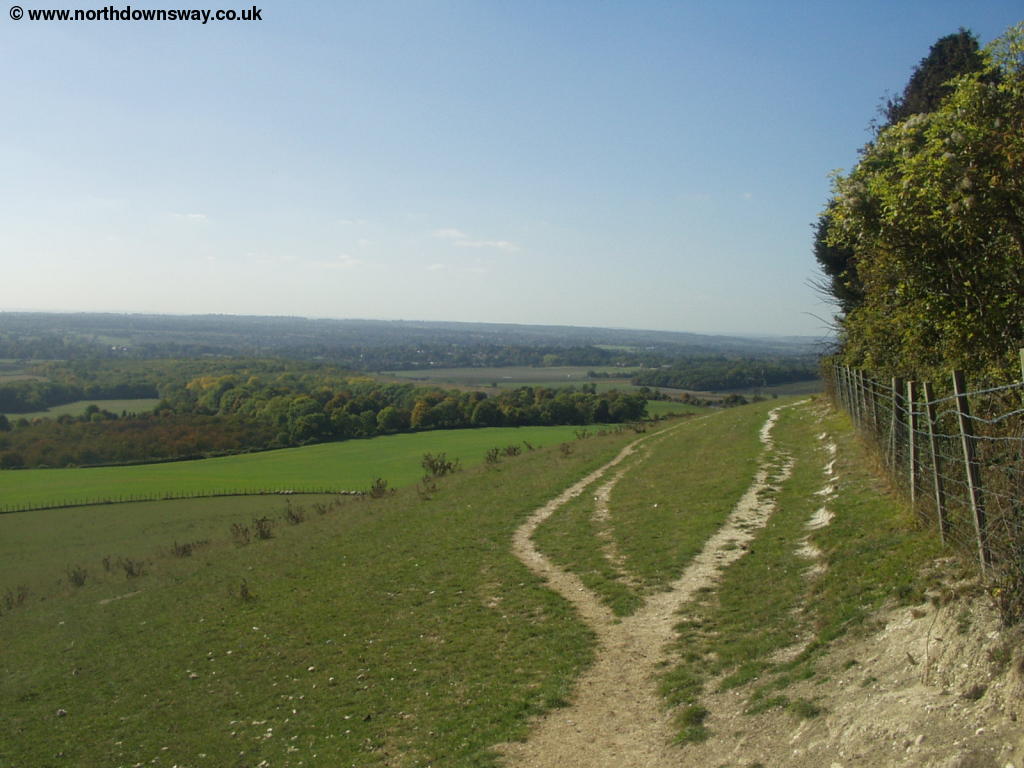
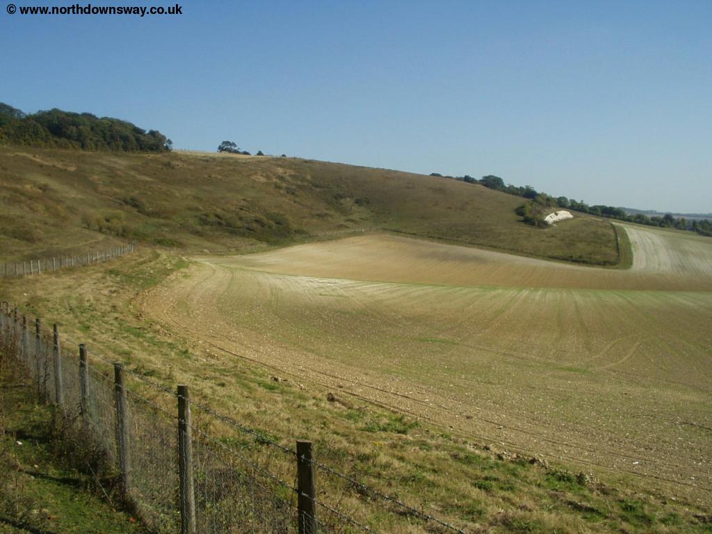
As you near Allington Farm, there are some newly planted trees behind the path and continuing good views to the left. The path continues at a high-level for a while more, crossing Broad Street Hill and then continues at a high-level along the top of the downs.
 |
 |
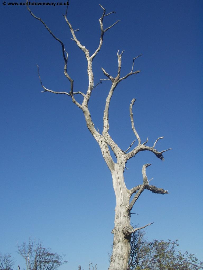
| A dead tree | Near Broad Street |
 |
 |
| Near Cats Mount | Near Cats Mount |
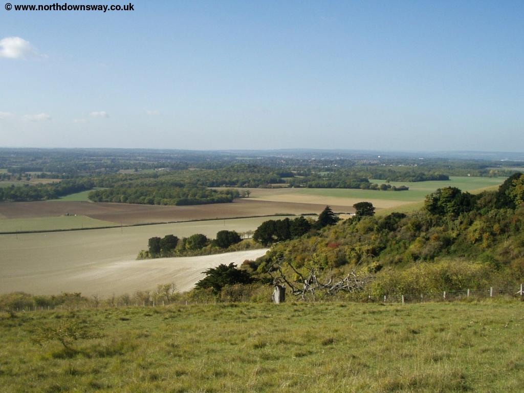
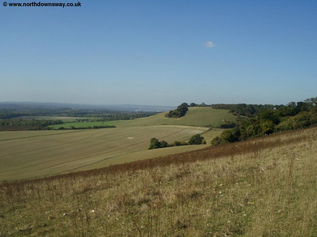
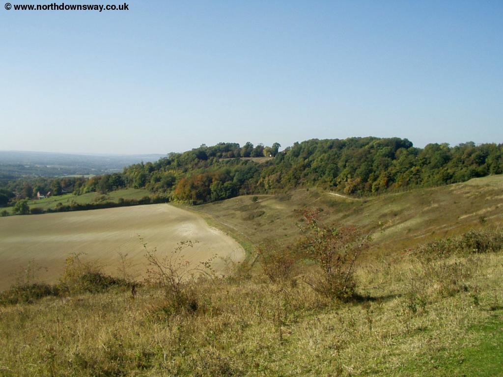
The path descends steeply round Cats Mount where there is then a steep climb back up again for a short-distance before the descent to Coldblow Lane where the path then climbs again through the edge of Civiley Wood.
 |
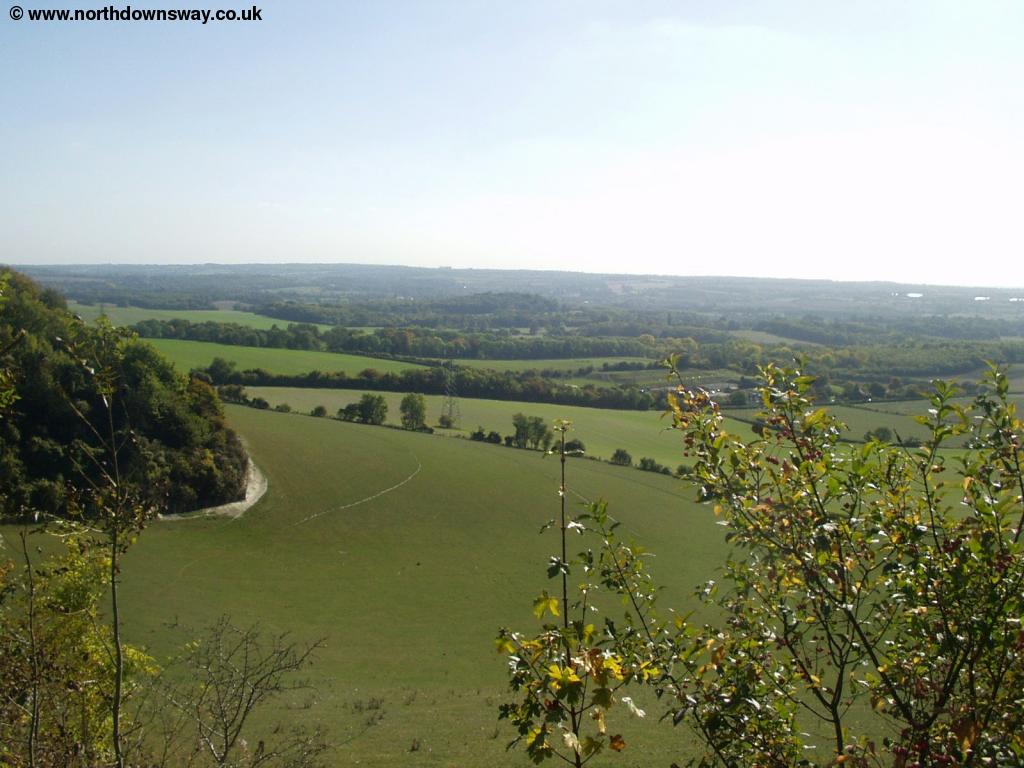 |
| Near Thurnham Castle | Near Thurnham Castle |
 |
 |
| Near Thurnham Castle | Near Thurnham Castle |
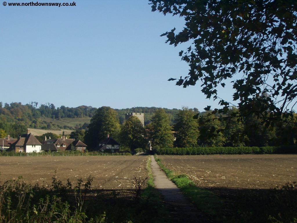
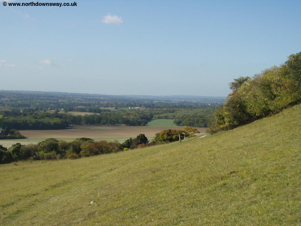
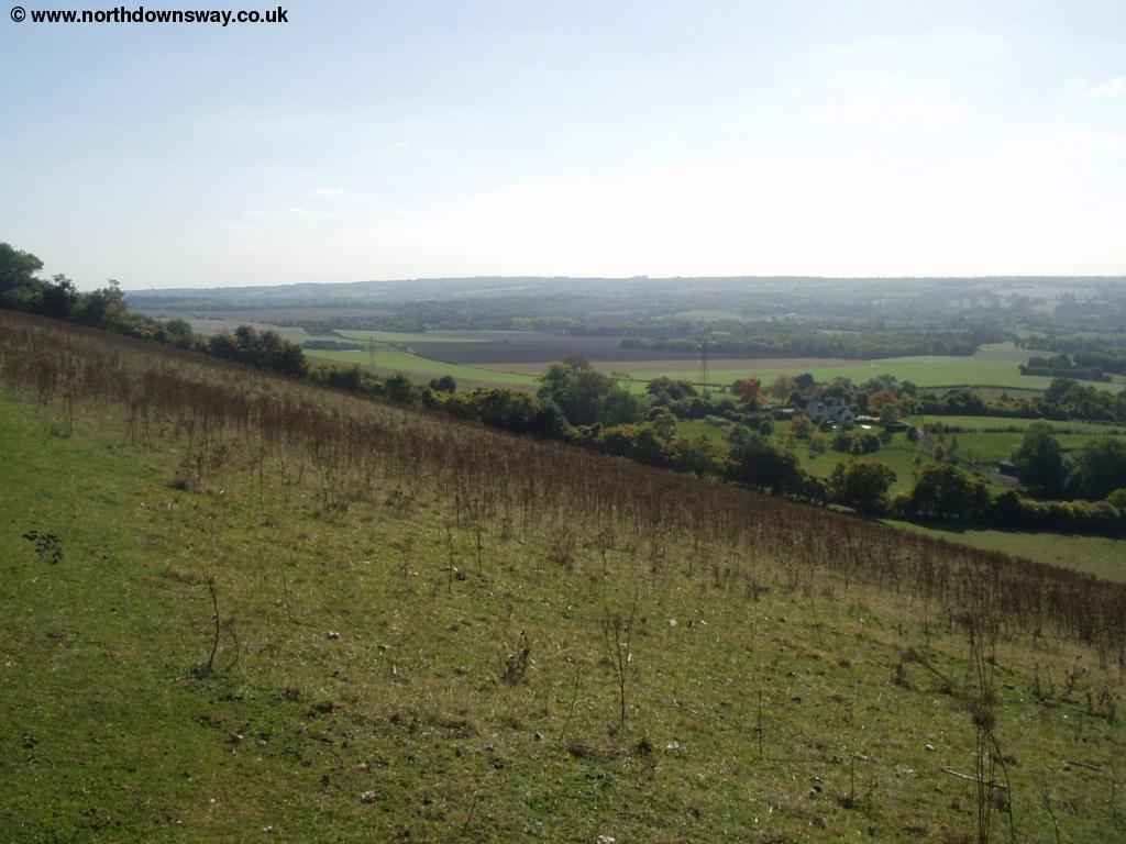
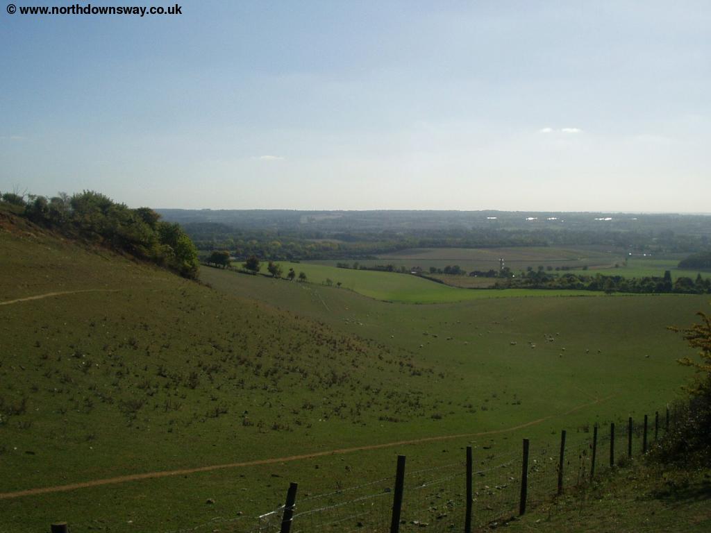
There is another descent around the remains of Thurnham Castle, just to the north of the village, crossing Castle Hill. Once over the road there is a climb up to Gorse Tor Farm, then a descent towards Detling. The path has changed from that on the map and now goes through part of Detling, continuing on the south side of the A249 until there is a new bridge crossing the road. Sadly this bridge was built after a young girl and her grandmother were killed crossing the road - there is a donation box on each side of the crossing.
 |
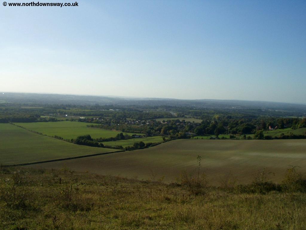 |
| Approaching Detling | Approaching Detling |
 |
 |
| Approaching Detling | Approaching Detling |
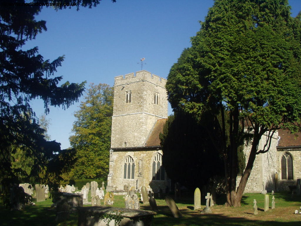
Once in Detling the signage is poor, but once over the bridge walk down the minor road (Pilgrims Way) until you get to the junction with Harple Lane and Hermitage Lane and here turn right up Hermitage Lane, to re-join the old route of the path. The signs on this part of the path are poor so a street map of the area would be useful. Once back onto the North Downs Way the path continues in the edge of Boxley Wood, for the next mile or so, with fairly limited views. There are two choices to get into Boxley. The first is to turn left when you see a path going down to the left in the woods. This path pases near Warren Farm and comes out next to the church in Boxley. The other route is to continue onto the North Downs Way until you come out on the road near Harp Farm. Turn left down the road but take care, as it's a busy and twisty road with no footpath, until you get to the path on the left. This goes through the wood and comes out to the north of the village, and follow the road (which now has a pavement) into the centre of the village.
 |
 |
| Near Boxley | Boxley Church |
Getting Back
Boxley is around one and a half miles north of Maidstone. There is a bus service, running approximately hourly on weekdays (less frequently on Saturdays and not at all on Sundays), number 130 operated by Nu-Venture that goes to Maidstone. The buses depart from opposite the The Kings Arms pub. If the bus is not running, or there is a long wait, walk towards the Church and follow the footpath past the church (keep to the left of the church). The path is called the Maidstone Centenary Walk but becomes a little difficult to follow once over the rail line, but you should get to a tunnel under the road, coming out onto the edge of Maidstone. From here it's street walking into the centre of the town.
From Maidstone, there are hourly trains back to Hollingbourne, seven days a week, with a more frequent service at peak times on weekdays. There are three stations in Maidstone, but the correct station for Hollingbourne is Maidstone East (which is by County Hall), and it's around 10 minutes on the train back to Hollingbourne. The station in Hollingbourne is up quite a long lane and is a little over half a mile from the village centre.
Links
The following web sites provide information on the area.
Every effort is made to ensure the accuracy of information on this site, but liability will not be assumed in the event of any inaccuracies. Use of the information on this site is at your own risk. If you find any errors, please use the link below. The text and photographs on this web site are all Copyright © and may not be reproduced without prior permission.