Merstham - Oxted |
Introduction
This walk begins in the small town of Merstham, to the north of Redhill. After a brief walk through residential streets, the path crosses the M25 and M23 then climbs back through fields onto the Downs, from where the are excellent views. The path continues through some trees coming out onto Caterham viewpoint, then pases next to a Vineyard and through woodland before descending round the edge of Tandridge Hill. After a brief climb round Tandridge Hill there is a descent towards the railway line and then a steeper descent round a quarry from where it's then residential walking into Oxted.
Getting to the Start
Merstham is close to the M23 and M25 motorways. If you're travelling from the M25 exit at junction 8 (Reigate) and join the A217 (Reigate Hill). At the first junction, turn right (into Gatton Bottom), continue on this road until the first right turn (Rocky Lane), which comes out onto the A23, where you turn left into Merstham. From the North, continue on the A23 when the M23 starts, as this takes you directly into Merstham. From the South, change onto the M25 at the M23/M25 junction and head clockwise to junction 8 and follow the instructions above.
If you're travelling by public transport Merstham has a station, with trains every 30 minutes from London Bridge and Croyden, Monday - Saturday (hourly London Bridge - Tonbridge and hourly London Bridge to Horsham), although some trains depart from London Victoria instead of London Bridge. On Sundays there is an hourly service between London Victoria and Horsham that calls at Merstham. Bus service 405 operates every 20 minutes (every 30 minutes on Sundays) from Redhill to Merstham, Hooley, Purley and Croyden. Routes 430 and 435 operate every 15 minutes (every 30 minutes on Sundays) from Merstham to Redhill, Earlswood and Reigate. Route 540 also operates infrequently to Merstham from Redhill, Caterham & Woldingham.
The Walk
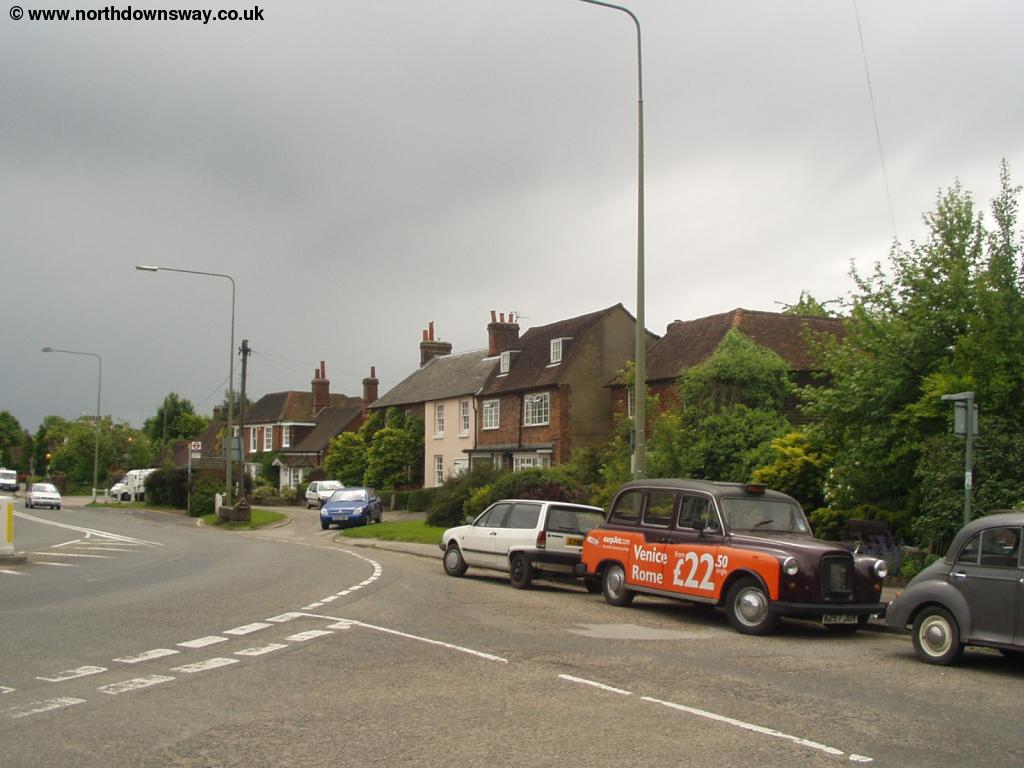
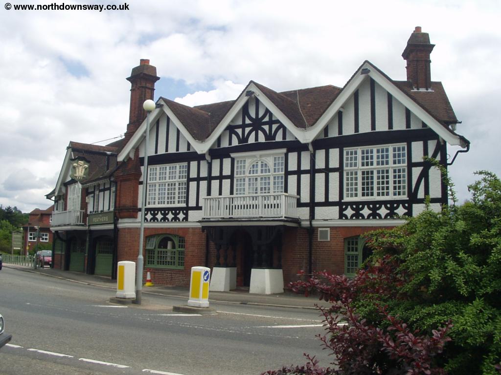
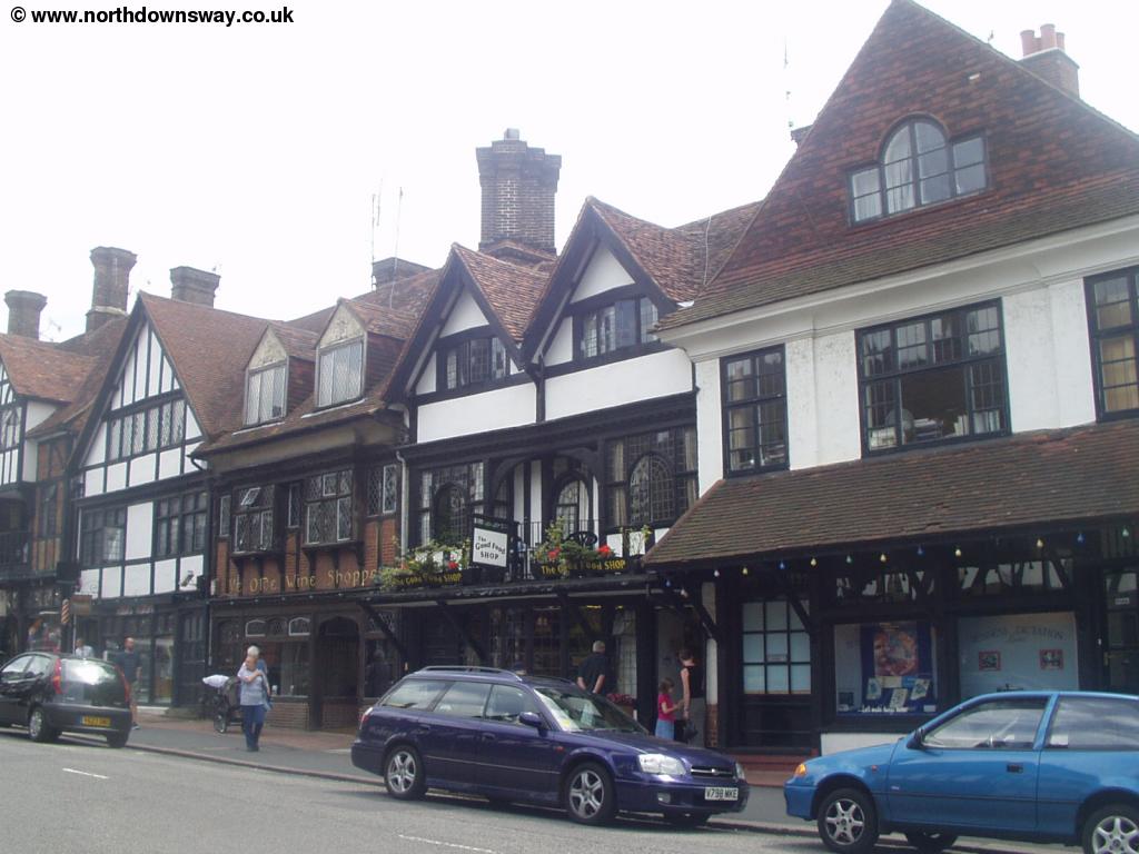
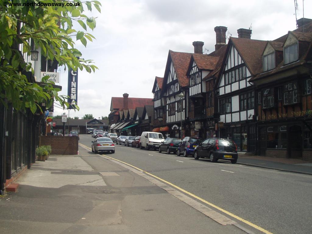
This walk starts in the centre of the small town of Merstham (to the north of Redhill), opposite The Feathers pub.
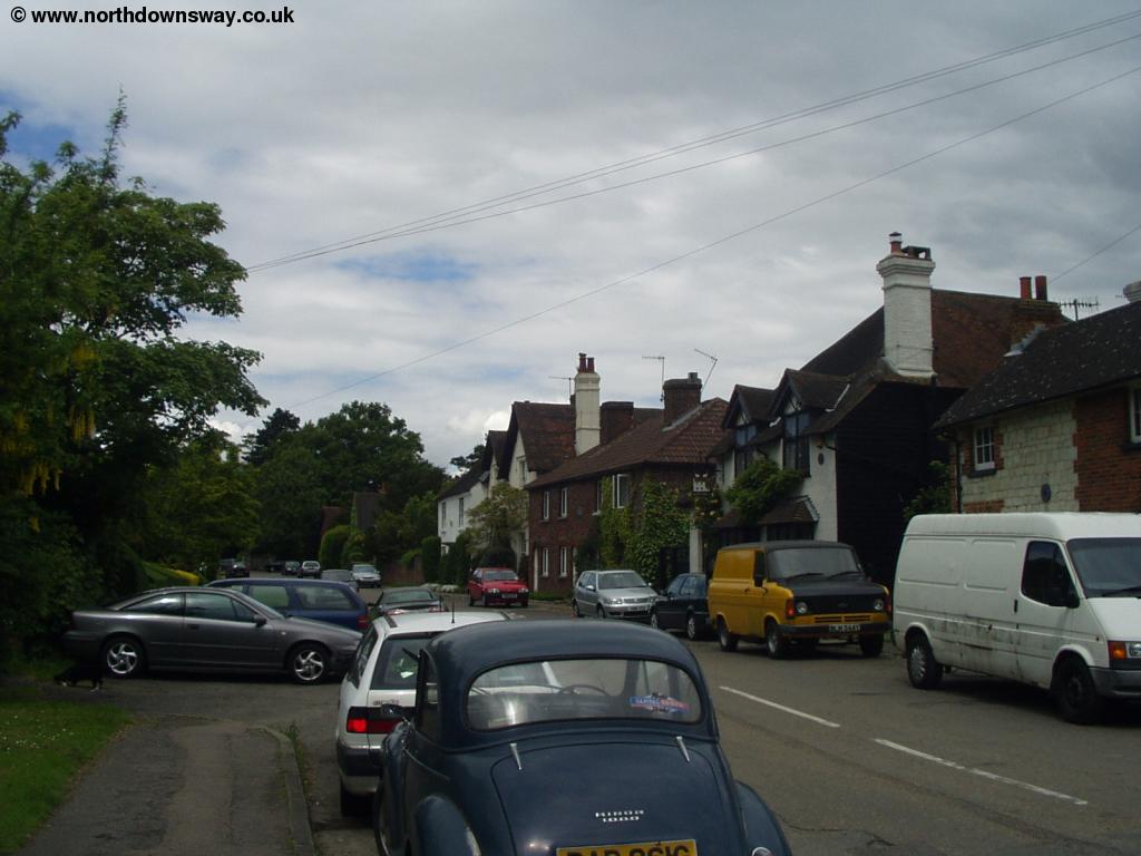 |
 |
| Merstham | Merstham |
 |
 |
| Merstham | Merstham |
From the High Street, head North and when the road goes to the right, go straight on into Quality Street (sadly, there aren't any chocolates). When you get to the end of the street, you come to Church Path, where there is a bridge over the M25 motorway to St Katherines Church.
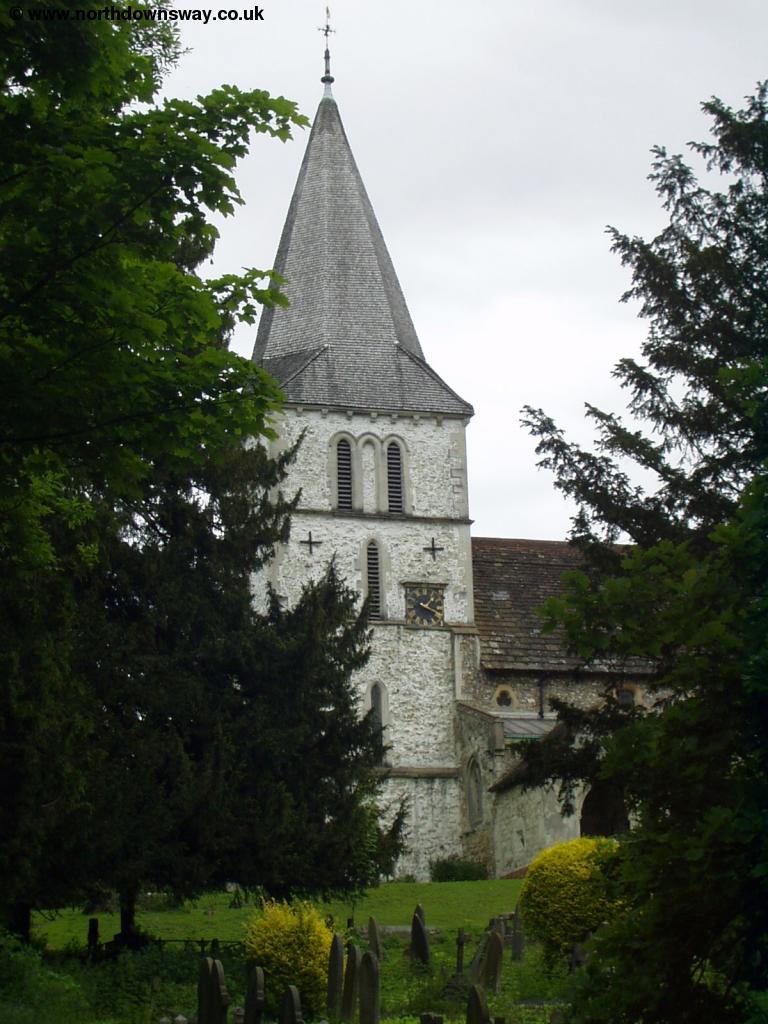 |
| St Katherines Church |
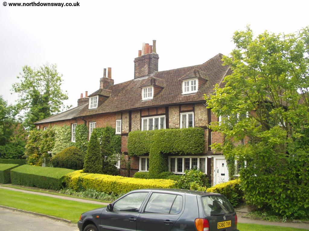
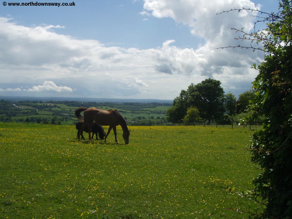
Turn right at the church into the road called Gatton Bottom and then cross the A23 and continue straight on into Rockshaw Road. This is obviously a wealthy area, judging by the size of some of the houses. After a while there are few houses on the left, but just before the houses start again, look out for a path off to the left, as this is the North Downs Way. Follow this path, which takes you through a subway under the M23, where you then follow the path as it goes diagonally across the field, climbing back onto the Downs.
 |
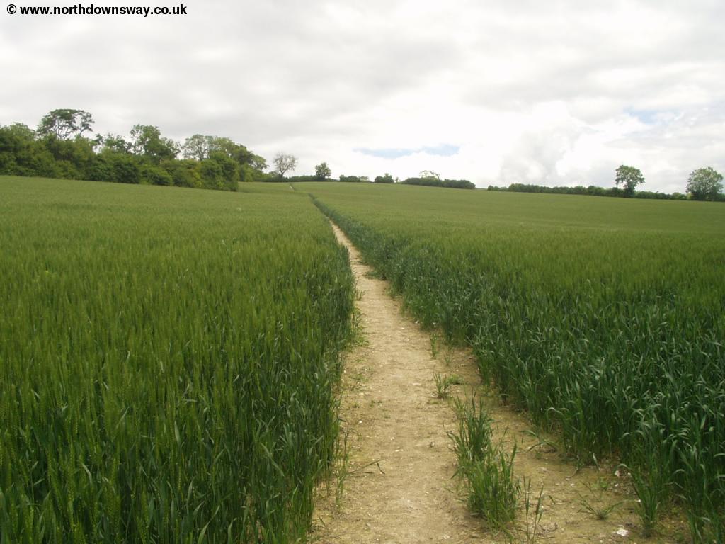 |
| View from the North Downs Way as it climbs through the field. | The path through the field |
 |
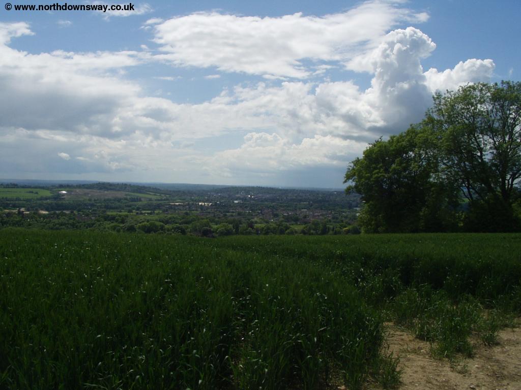 |
| View from the North Downs Way as it climbs through the field. | View from the top of the field |
 |
|
| View from the top of the field |
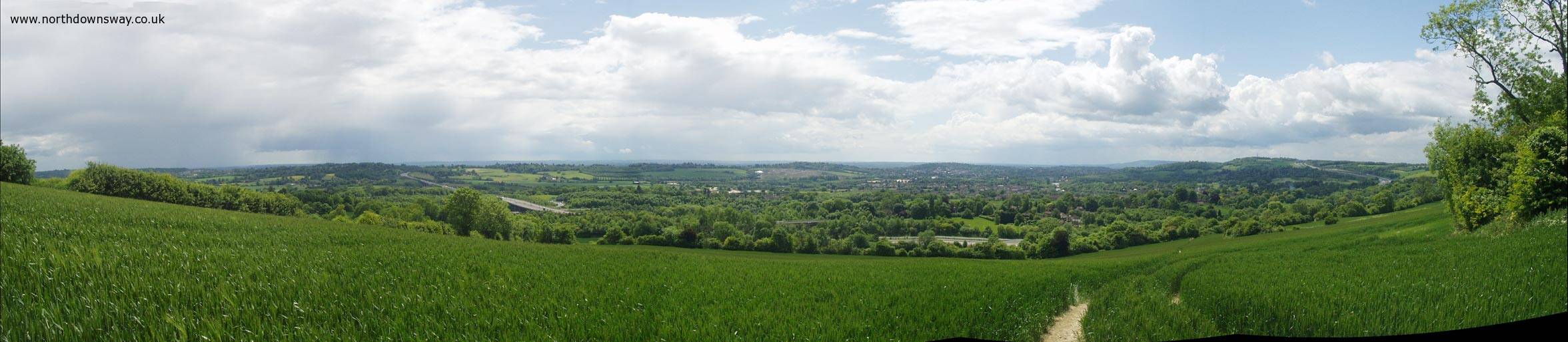 |
| Panoramic View from the top of the field |
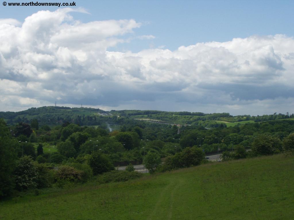
At the top of the hill, the path becomes a track which crosses Hilltop Lane and continues straight on. There are again excellent views from this lane.
 |
 |
| View near Hilltop Lane. | View near Hilltop Lane |
As you come towards Willey Park Farm, be sure to turn right (staying on Pilgrims Way), heading slightly down-hill towards the road. When you get to the road, there is a junction of Standsted Road , Whitehill Lane and War Coppice Way. Cross the road and continue on War Coppice Way, passing the house called Arthur's Seat. Here the remains of Whitehill Tower can be seen. There are good views along this section, although you have to keep an eye out for cars too, as this part of the path is a road. As you get to Hextalls Lane on the right the path goes through some woods.
 |
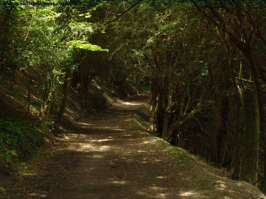 |
| Passing through the woods | Passing through the woods |
After a while of walking through the woods you come out onto a car park and viewpoint - this is Caterham viewpoint.
 |
 |
| Caterham Viewpoint | Caterham Viewpoint |
From the viewpoint you join the road briefly before heading back onto the footpath through the woods, where it descends towards the A22. Cross the road using the bridge where the path soon heads a little to the South and rounds the edge of Winders Hill, where there is a vineyard on your right.
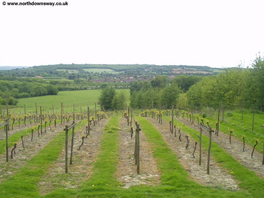 |
| The Vineyard with Godstone in the distance |
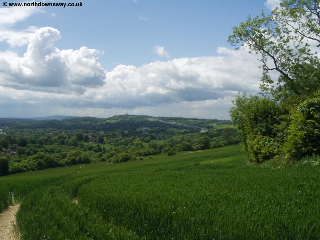
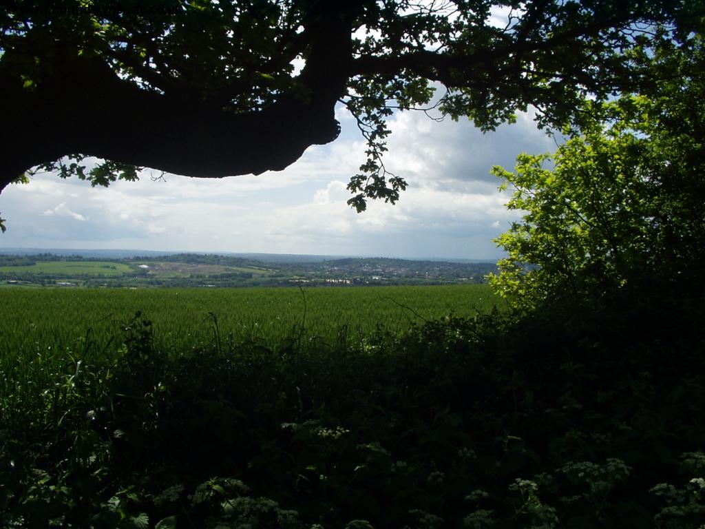
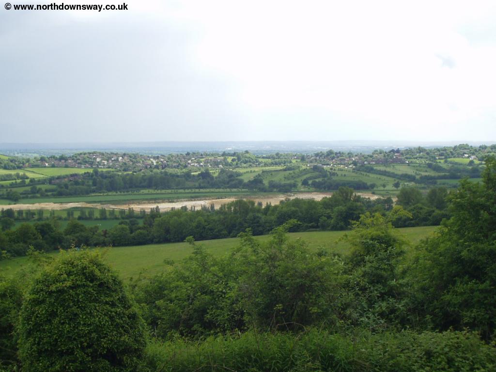
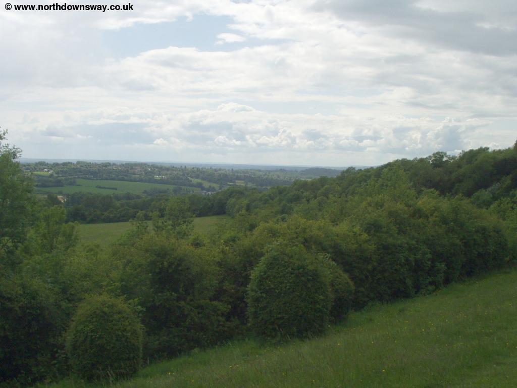
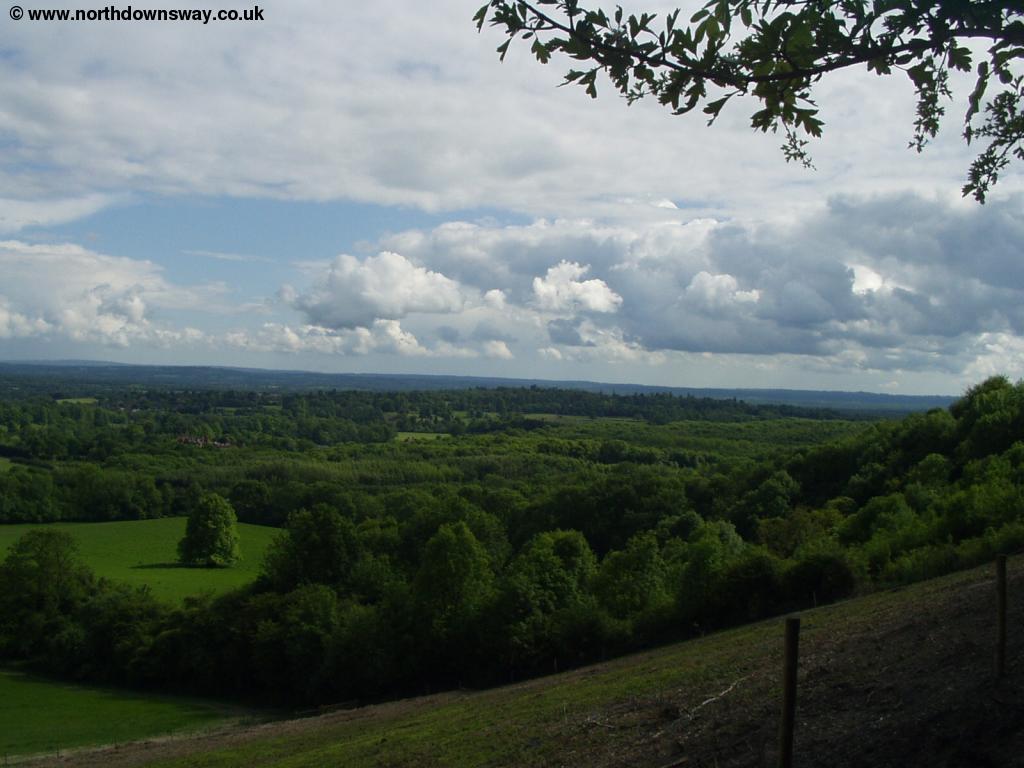
From the vineyard the path climbs slightly and goes through woodland for a while, crossing Gangers Hill - take care to follow the signs round here, as there are several other paths. After some more walking at the edge of woodland, you join Tandridge Hill Lane, which the path runs next too. There are excellent views from the path here.
 |
 |
| View from the North Downs Way near Tandridge Hill | View from the North Downs Way, near Tandridge Hill |
 |
|
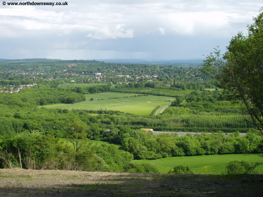
| View towards Oxted from Tandridge Hill |
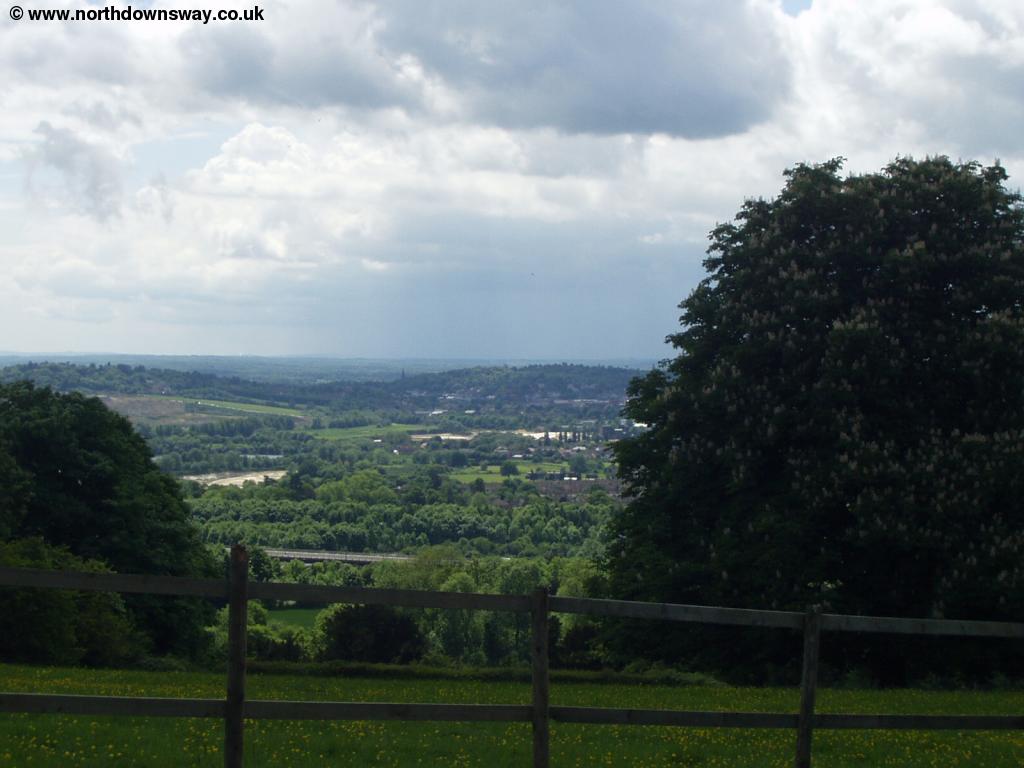
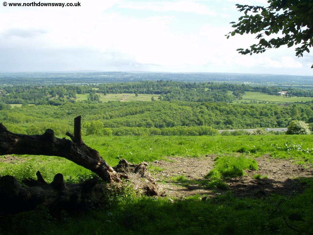
After the hill, the path then joins Gangers Hill again, but soon turns off to the right, briefly heading downhill before turning back to the east. You soon reach a bridge, where you can see the railway line emerge from the downs below, heading into Oxted.
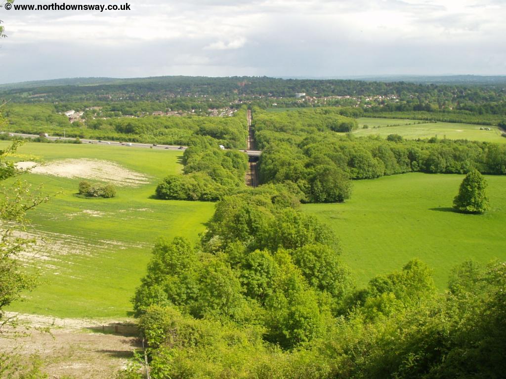 |
| View towards Oxted |
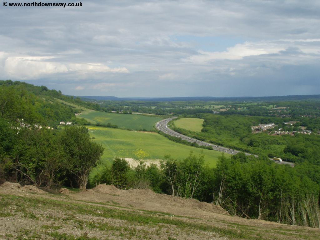
The path continues at a high level for a short distance more, but then turns to the south, towards the motorway, with a quarry to the left.
 |
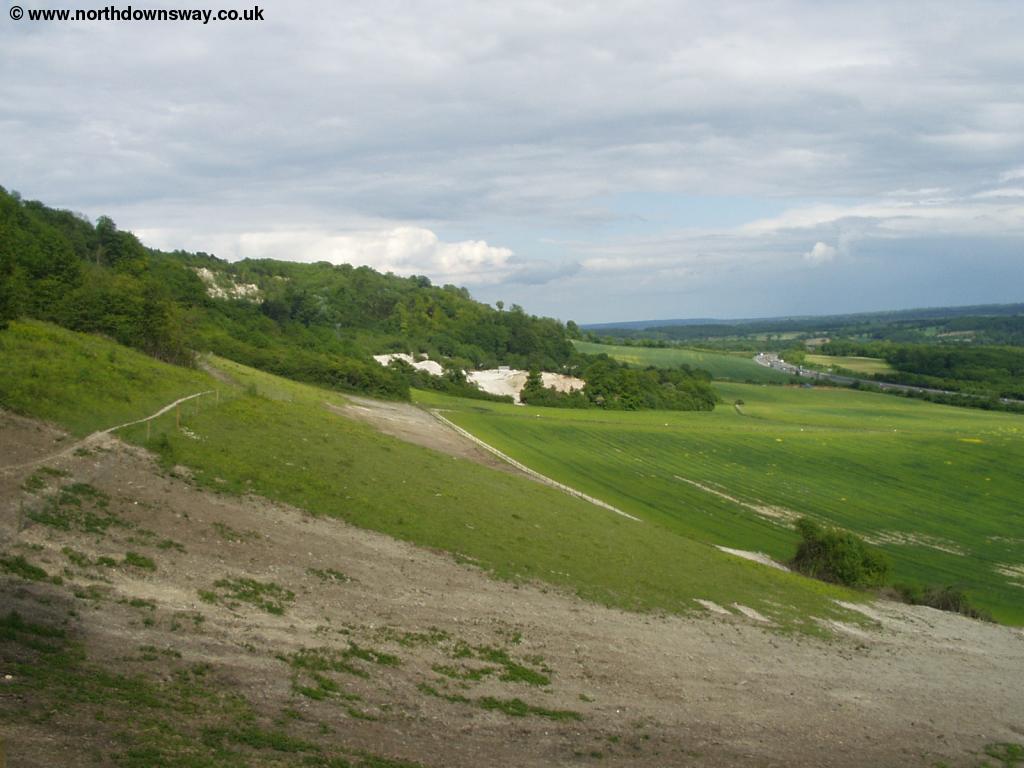 |
| Near Oxted | Near Oxted |
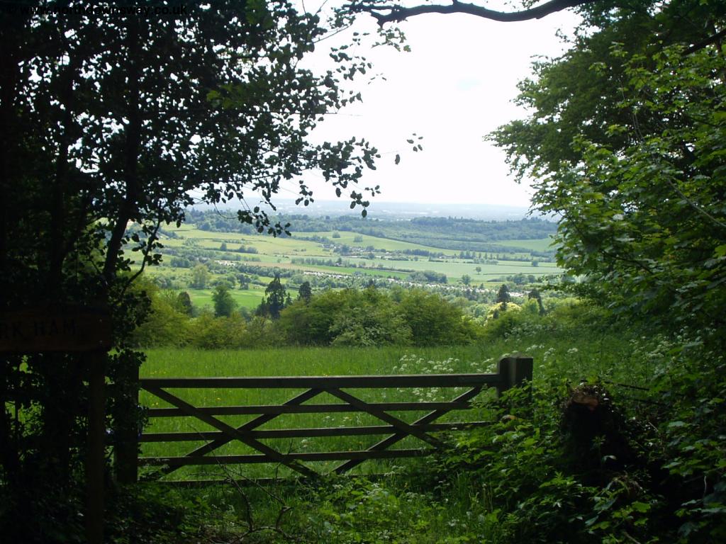
The path continues to a road, which you can walk along into Oxted, but I prefer to continue on the North Downs Way for a short distance longer, where you meet another footpath, the Greensand Way, which goes into the centre of Oxted, and avoids as much residential walking. It crosses the M25 on a footbridge, then continues on the edge of some woods and fields on the edge of the town, emerging in Park Road. Turn right into Bluehouse Lane, then left into Station Road East, which takes you into the centre of the town, and is also close to the station, if you're returning by train.
 |
 |
| Oxted | Oxted |
Getting Back
There is a station in Oxted, at the top of Station Road (and Station Road East), which is in the town centre. Oxted is on the London - East Grinstead line, (as well as the northern end of the Uckfield branch). It has half hourly trains to London Victoria (hourly on Sundays), operated by Southern, and also has occasional services to London Bridge. To get to Merstham, change at East Croyden. From East Croyden there are half-hourly trains to Merstham (again, hourly on Sundays), with the journey typically taking around around 45 minutes from Oxted to Merstham. There aren't any buses between Oxted and Merstham that I am aware of.
Links
The following web sites provide information on the area.
Every effort is made to ensure the accuracy of information on this site, but liability will not be assumed in the event of any inaccuracies. Use of the information on this site is at your own risk. If you find any errors, please use the link below. The text and photographs on this web site are all Copyright © and may not be reproduced without prior permission.