Oxted to Otford |
Introduction
This walk begins from Oxted, climbing from the town back up to the Downs at Titsey Plantation, passing in and out of woods for the first part of the walk and also close to Biggin Hill airfield where the path crosses from Surrey into Kent. Soon the countryside becomes more open offering beautiful views over the valleys to the South, passing close by Knockholt Pound and crossing the M25 leaving the edge of London behind to finish in the beautiful town of Otford in Kent, the end of this walk.
Getting to the Start
By road, Oxted is just off the M25. Exit the M25 motorway at junction 6 (Godstone Interchange) and join the A22 south bound. Stay in the left-hand lane and at the first roundabout turn left onto the A25, bringing you into Oxted. Several car parks are available near the town centre including an underground one at the station and one near the Leisure Centre. However due to poor transport between Oxted and Otford if you're travelling from or near to London, using the train is probably a better idea (see below).
By public transport, Oxted has a station which is on the London Victoria to East Grinstead Line and the London Bridge to Uckfield Line and is served by two trains per hour from London Victoria and an hourly servcie from London Bridge (starting in December 2004) on weekdays and Saturdays and an hourly train on Sundays from London Victoria, Clapham Junction, East Croyden and local stations to Oxted, taking a little over 35 minutes from London. Services to Oxted also run from East Grinstead, Uckfield, Hever and Edenbridge. All these trains are operated by Southern.
The Walk
 |
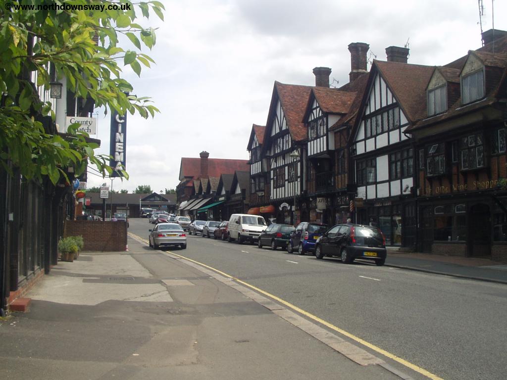 |
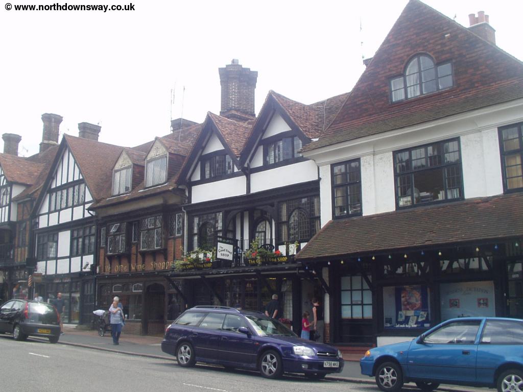
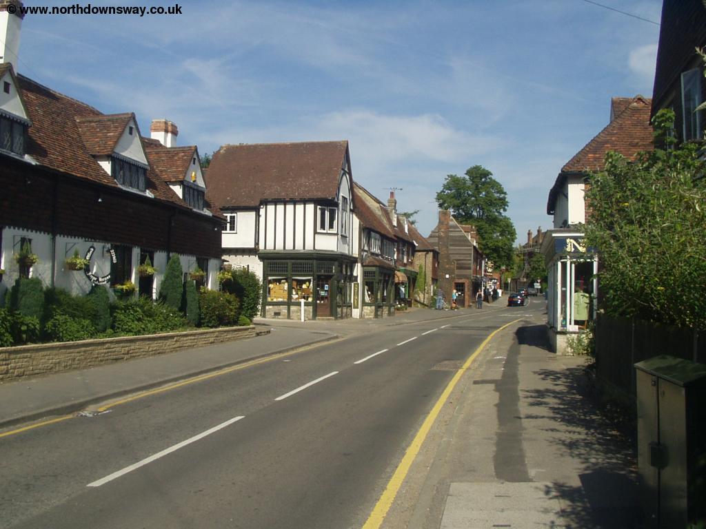
| Oxted | Oxted |
Oxted isn't on the North Downs Way, although it is close to the path. From Station Road East head down and turn left into Gresham Road. Continue on this road until the junction with Bluehouse Lane where you turn right, then into the next turning on the left (Park Road), following the path from the end of this road (signed Greensand Way). This path continues over the M25 motorway to re-join the North Downs Way at Titsey Plantation, turning right towards Otford. Here the path has open fields with trees to your left, where you can enjoy excellent views to Oxted below.
 |
| The path near Oxted |
Soon as you get to the corner of the fields with trees ahead you turn left up Pitchfont Lane, on a broad track through the trees.
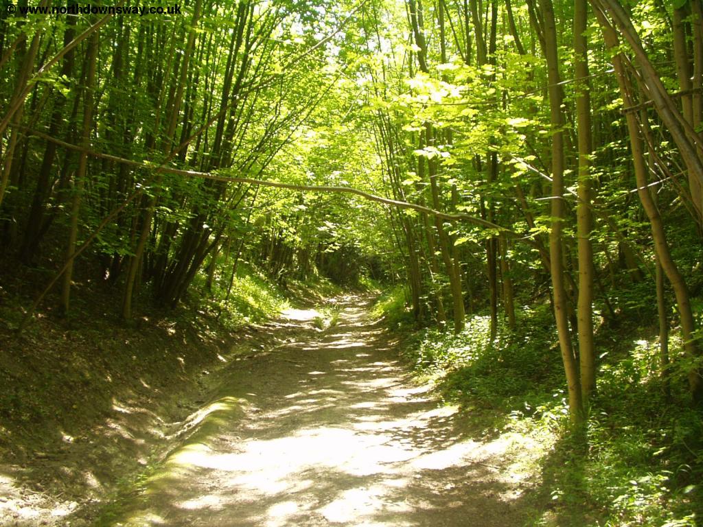 |
| The path through the trees |
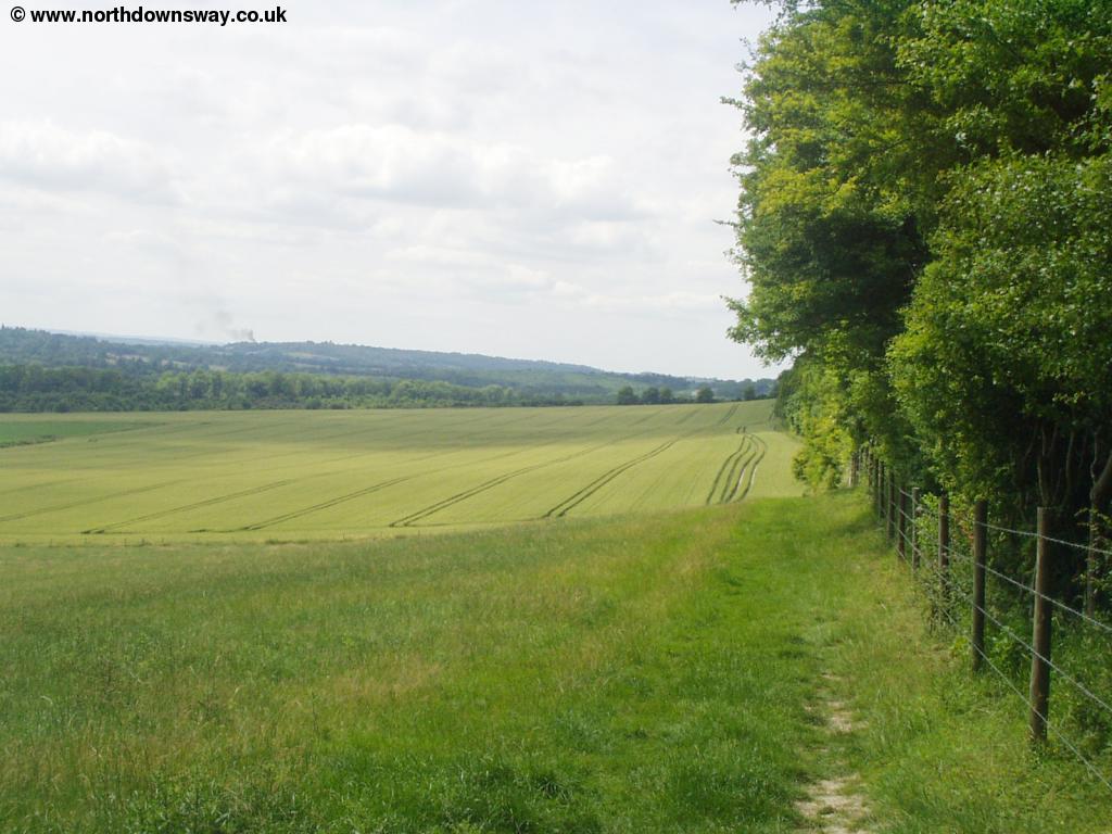
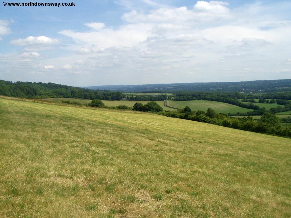
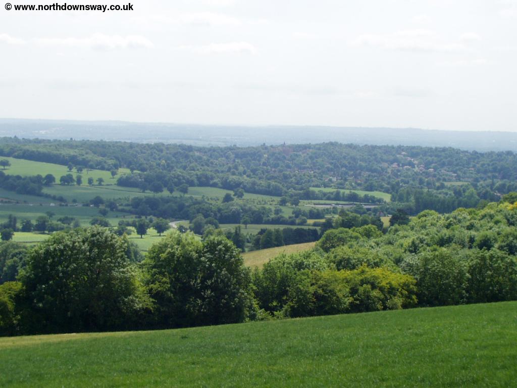
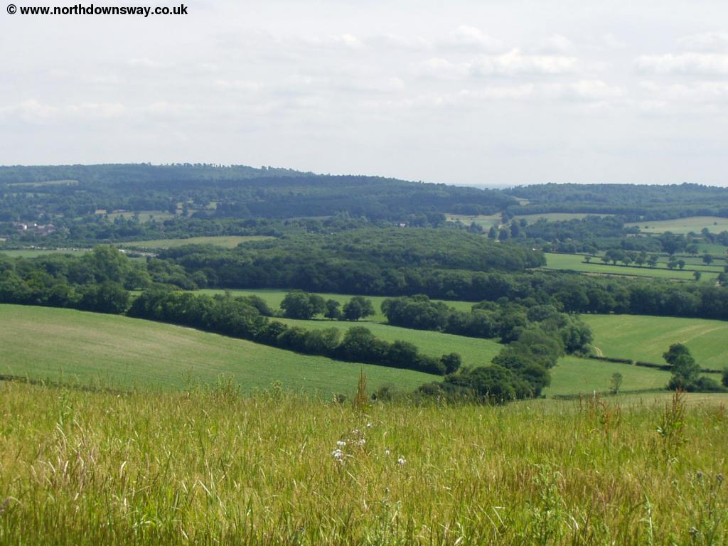
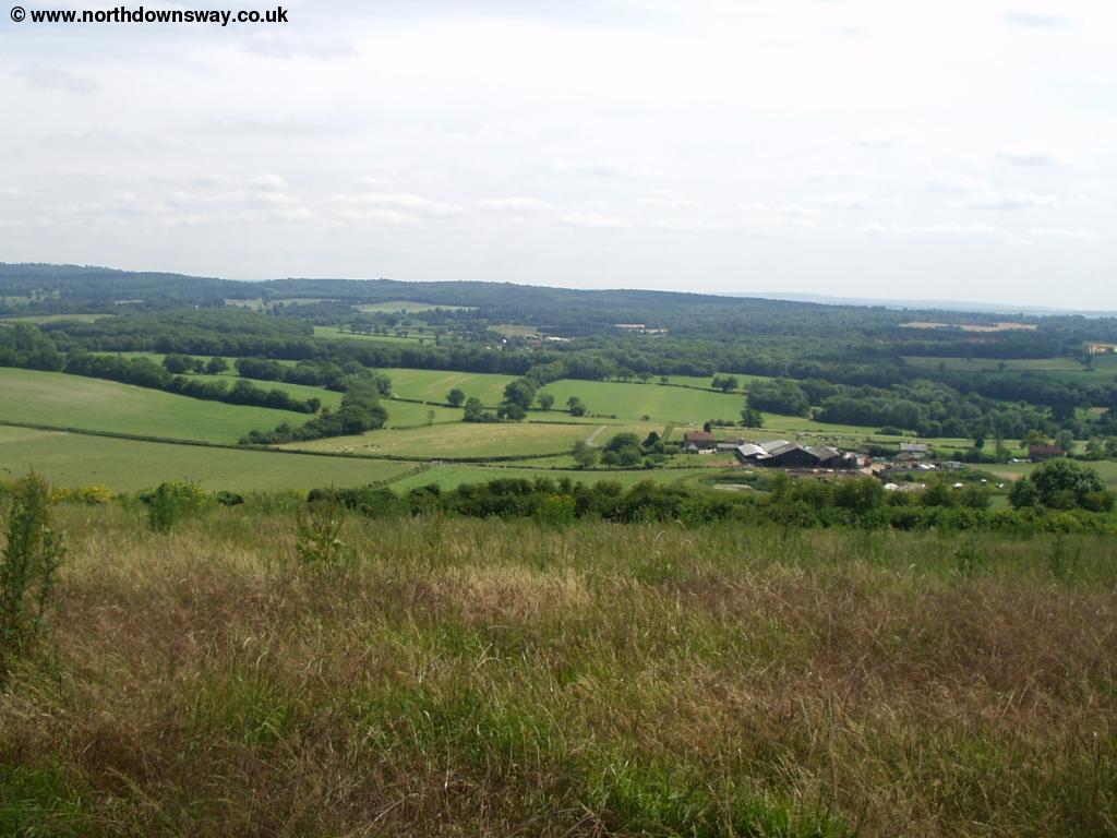
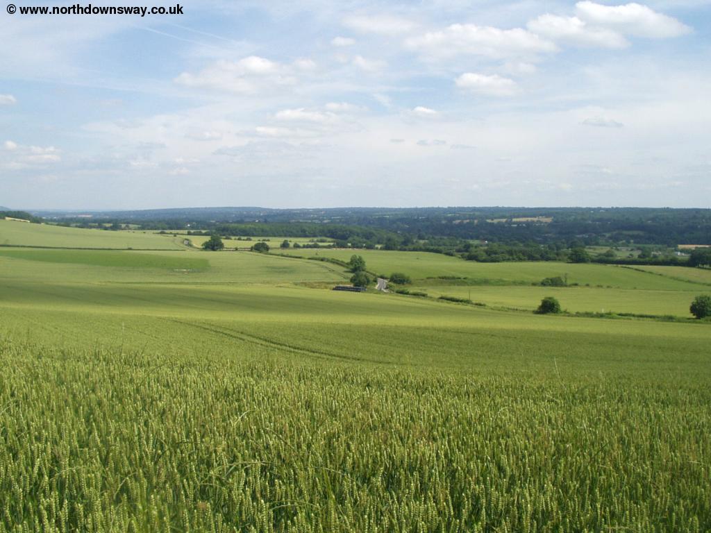
Soon you emerge near to a car park, where there are signs to a view point over looking the downs.
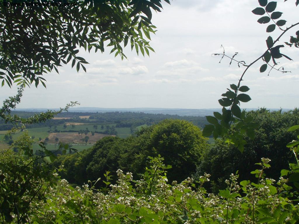 |
 |
| View from the Downs near Oxted | View from the Downs near Oxted |
 |
 |
| View from the Downs near Oxted | View from the Downs near Oxted |
 |
 |
| View from the Downs near Oxted | View from the Downs near Oxted |
 |
|
| View from the Downs near Oxted |
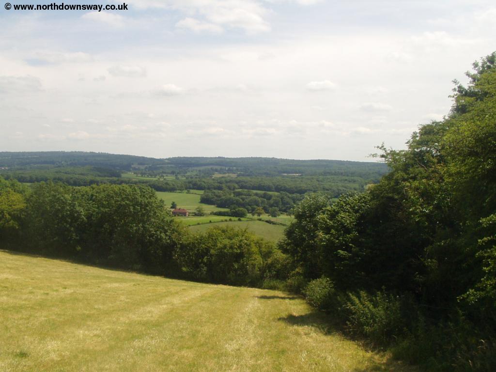
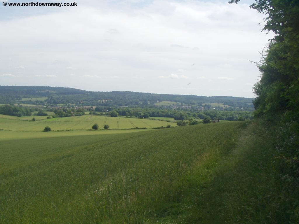
As you emerge at the junction take Titsey Hill the first road to the right. The path follows next to the road here, giving views to the Titsey Estate below. Soon the path goes off to the left, so watch for the signs, climbing up the hill, then very soon after it turns to the right, emerging onto a minor road (White Lane). Cross the road and continue straight on, climbing through the woods to emerge close to the road at Clarks Lane Farm. Below you can see Pilgrims Farm.
 |
| Pilgrims Farm below |
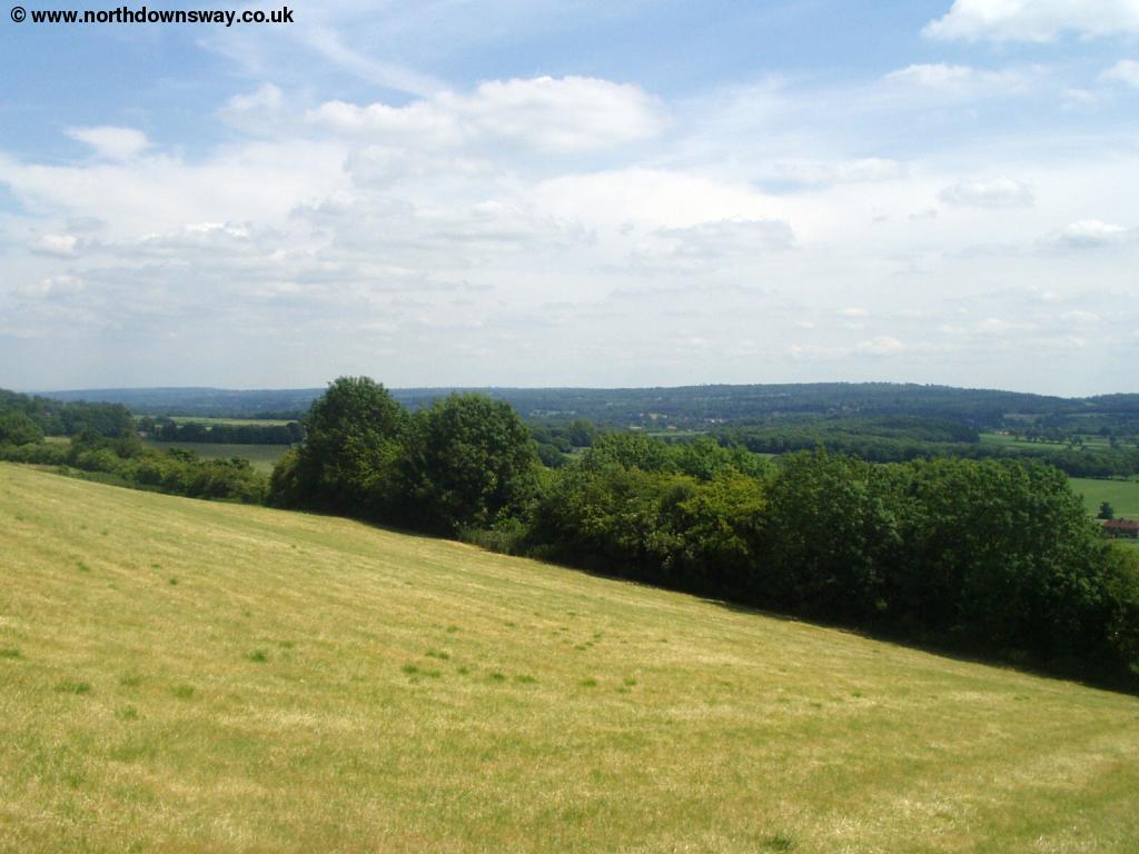
Soon the path comes to a junction by a golf course. Here join Chestnut Avenue, passing the entrance to the golf course on the left. You pass some houses on the right as the road comes to a junction. Here turn right into The Avenue. Soon you come to the Surrey and Kent border, marked by a stone showing 48 miles to Farnham and 65 miles to Dover. You'll see many more of these stones as the path passes through Kent. Continue on this road as it emerges at Westerham Hill. You cross this road then turn almost immediatly right. Here you have fine views accross the large fields.
 |
| Fields near Westerham |
THe path begins to head into woods where you need to follow the signs as the path turns to the right. Just as you emerge from the woods the path turns to the left keeping a narrow row of trees to your left. Soon you get to another small clump of trees and as you start to pass through it the path emerges onto a track. Here you turn right onto the track. Follow the track as it turns left by the clump of trees then right again to follow the track along the top of the meadow next to the trees.
 |
| Near Grays Farm |
Soon the path becomes a track again by a large house on the left. As this track turns off to the right, continue straight on, with Joeland's Wood to the left. Soon you turn right, coming to the edge of the road. Follow this path until you emerge onto the road (Brastead Hill), and cross over to continue on the path through the field. You can see the buildings of Brastead Hill Farm below.
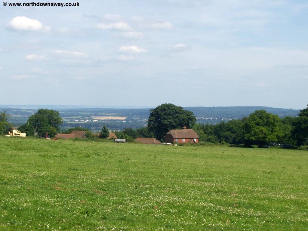 |
| Brastead Hill Farm |
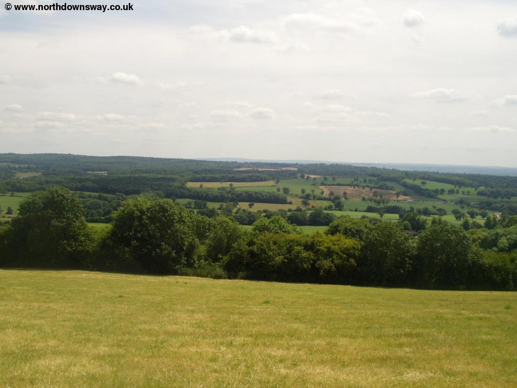
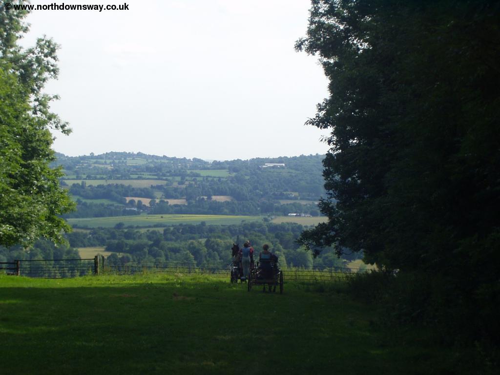
Continue on the path next to the road and as the road turns to the left continue straight on with the woods to your right. From here you can enjoy lovely views to the north and to the south. At the end of the trees the path turns to the left following the boundary of the field, then turning right again along the edge of another field, with a small clump of trees to the left (Knockholt Beeches).
 |
| The North Downs Way near Knockholt |
Soon the path comes to the road (Sundridge Lane) where you turn left then turning right at the edge of the trees (Cooper's Wood). After skirting the edge of the trees for a while the path then goes through the woods, turning right when you emerge from the woods, to follow the line of the trees again, first turning right then left. To the left you can see the houses of Knockholt Pound. Soon the path comes to another small road (Chevening Lane) which you cross and head straight on along the edge of two fields and into the next group of trees (Lees Wood). Turn right as you emerge from this wood and the path is now heading towards the busy M25 motorway, passing the edge of Lees Wood, then Star Wood as the descent becomes steeper, so enjoy the views before you lose them. As the path comes to the edge of the woods, continue across the field edge path towards the motorway and Morants Court Farm. Here the path comes to Sundridge Road where you continue to the roundabout. At the roundabout take the road to the right (Morants Court Road, the A224) and follow this road as it comes into Dunton Green. On the corner by the Rose and Crown Pub turn left into London Road (signed Otford). Just before you come to the Donnington Manor Hotel, turn right. This Hotel seems an odd mix of old and new, now part of the Best Western chain.
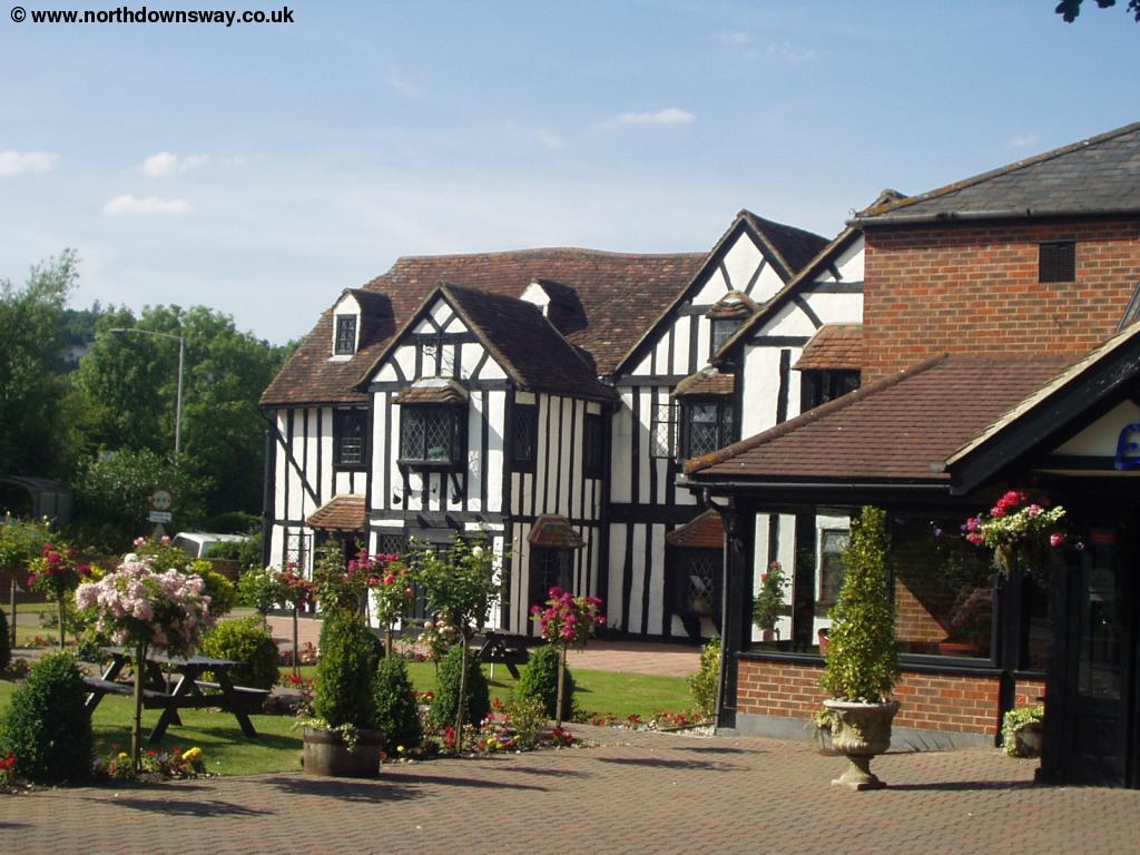 |
| The Donnington Manor Hotel |
The path from the Hotel continues through the edge of a field, with trees to the right and emerges into a second much larger field. This field had beautiful Rape Seed Oil growing when I walked this part of the path, with the yellow flowers in full bloom. The path crosses the field, although may be a little hard to follow at times. To the left you can see the hills of the downs.
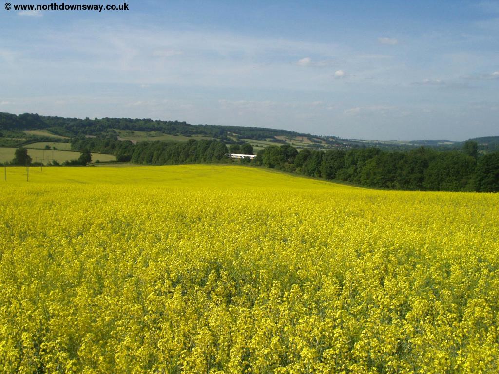 |
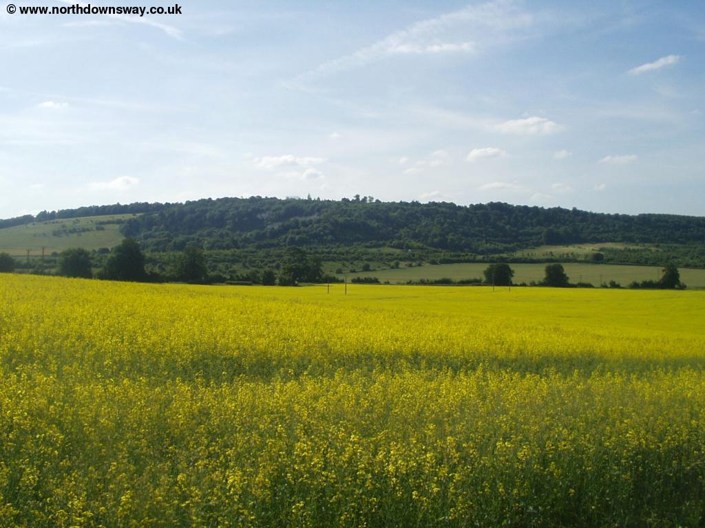 |
| A yellow field near Otford | A yellow field near Otford |
At the end of the field you come to the bridge over the railway line into Teston Lane. Continue on this lane passing New Barn Farm to the left with the houses of Otford visible ahead.
 |
| The houses of Otford from the North Downs Way |
Continue on Teston Lane as it comes into the town and at the end of the road where you join the main road, turn right (Pilgrims Way). This road croses the River Darent on a bridge as it becomes the High Street. Soon you come into the centre of Otford, a really lovely town with very old building in the High Street and still with it's village green and pond. If you continue straight on from the High Street at the village green into Station Road you will come to the towns station.
 |
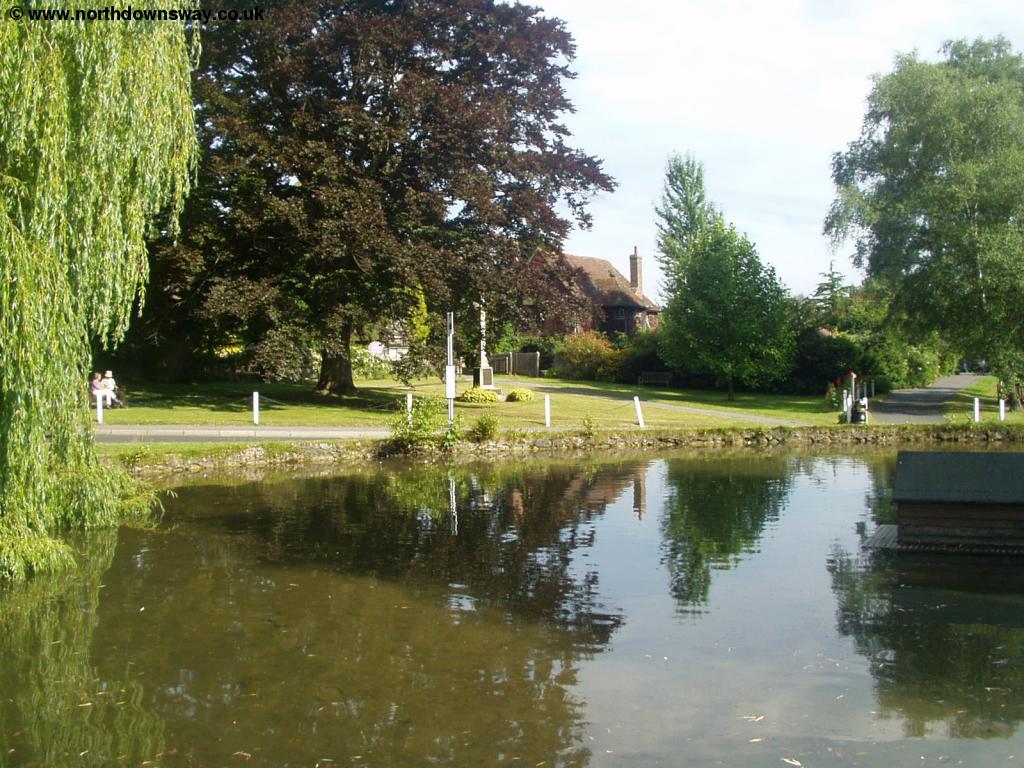 |
| Otford High Street | The Green, Otford |
Getting Back
Otford has a station, on the London Victoria to Maidstone East and Ashford line. Trains run twice an hour, Monday - Saturday and hourly on Sundays, taking around 35 minutes to London Victoria, with all trains operated by South Eastern Trains. To get back to Oxted by train, you have to travel all the way to London Victoria and back out again, due to the towns being on different railway lines. Note that there are no bus services from Otford to Oxted, although there are local buses to Sevenoaks. Due to the need to travel to London and back the train to Oxted is expensive so if you are making the journey a taxi may work out cheaper.
Links
The following web sites provide information on the area.
Every effort is made to ensure the accuracy of information on this site, but liability will not be assumed in the event of any inaccuracies. Use of the information on this site is at your own risk. If you find any errors, please use the link below. The text and photographs on this web site are all Copyright © and may not be reproduced without prior permission.