Shepherdswell - Dover

Shepherdswell - Dover | |
Introduction
This part of the path is slightly different in character from most other parts of the path since it spends much of the time going through open fields rather than woodland. From Shepherdswell it passes Waldershare House then goes through the villages of Ashley and Pineham before descending down to Dover passing through the town to the market square, marking the end of the Canterbury part of the North Downs Way.
Getting to the Start
Shepherdswell is just off the A2 between Dover and Canterbury. From Canterbury just as you get to the large junction at the end of the dual-carriageway, take the road to the left signed for Shepherdswell. From Dover on the A2 just before you get to the dual carriageway at the traffic lights turn right. This street takes you into Shepherdswell and there is a small free car park at the village hall.
If you're travelling by public transport, Shepherdswell has a station which is served by hourly trains on the London to Dover line, via Gillingham, Faversham and Canterbury (East), taking a little under 2 hours from London (Victoria), operated by South Eastern Trains
The Walk
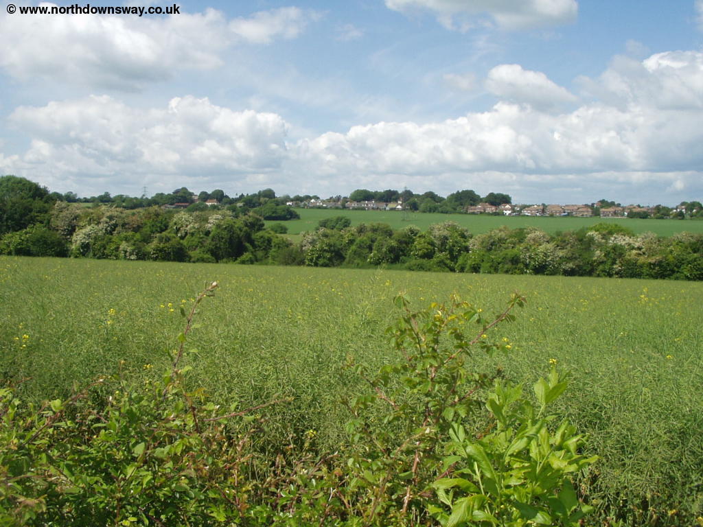
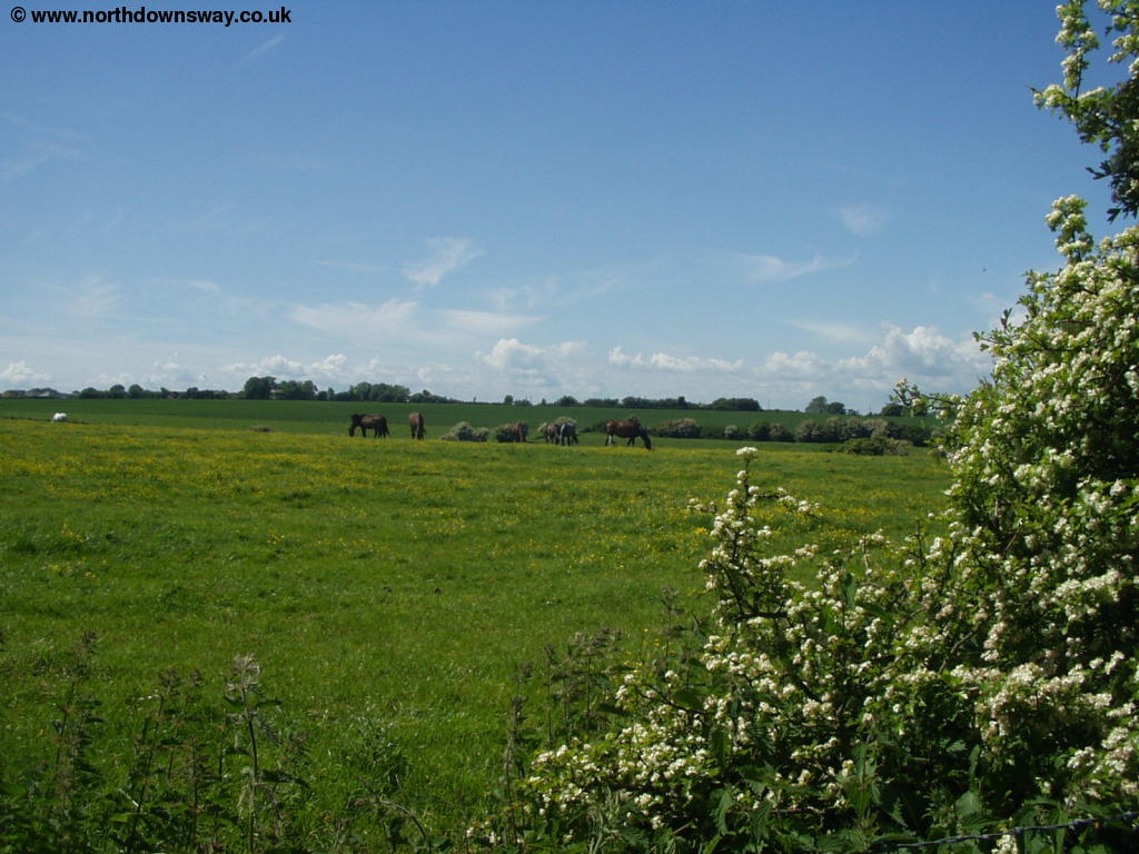
From the green in Shepherdswell as Church Hill turns towards Mill Lane as you round the corner you will see a path off to the right by a fence, signed the North Downs Way. This emerges into a large field which you walk through following the path to the right of the field, under the power lines. At the end of the first field you emerge into another field, this time turning slightly to the left and going more or less through the middle of the field, although it can be difficult to find the path if the field is very overgrown, as it was when I walked this part of the path.
 |
| View of Shepherdswell from the North Downs Way |
Cross the field and then turn slightly to the right at the end of the field, crossing the old railway line and emerging to the edge of the grounds of Coldred Court Farm. In this field, head to the left of the farm buildings by the church, where you will emerge onto a small road.
 |
| Coldred Court Farm |
At the road turn right and at the cross roads go more or less straight on into the next field, towards some trees. Pass through the path between the trees where you then see the path continuing ahead across the field, towards the edge of another larger clump of trees in the distance.
 |
| The path ahead from Coldred Court Farm |
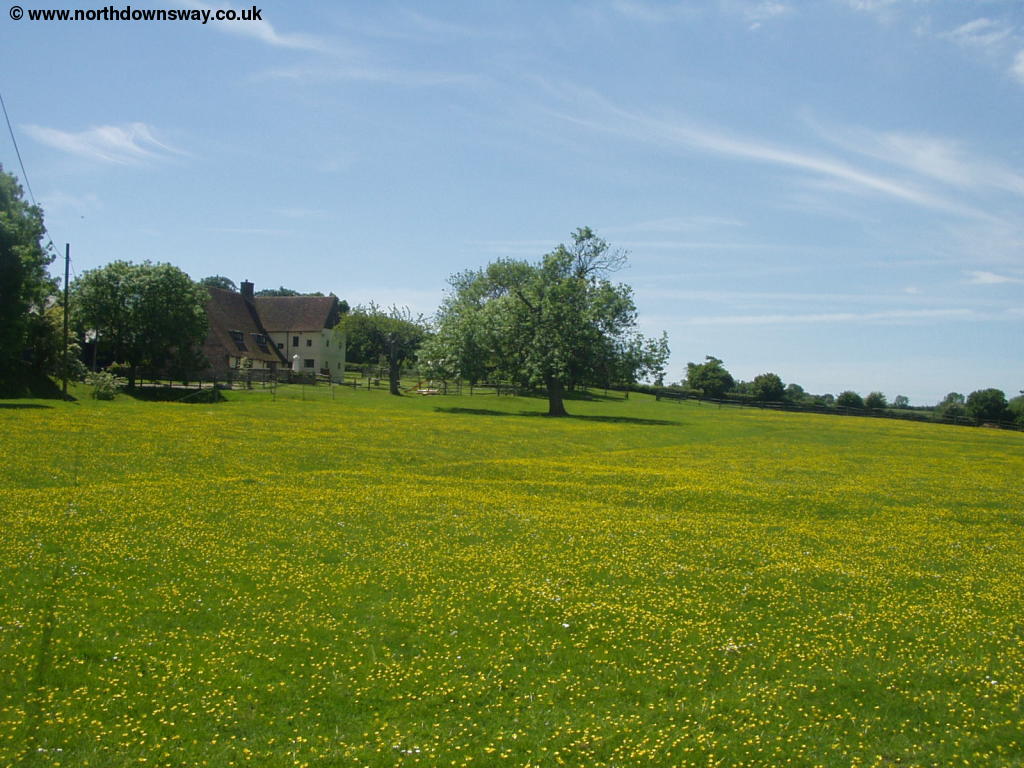
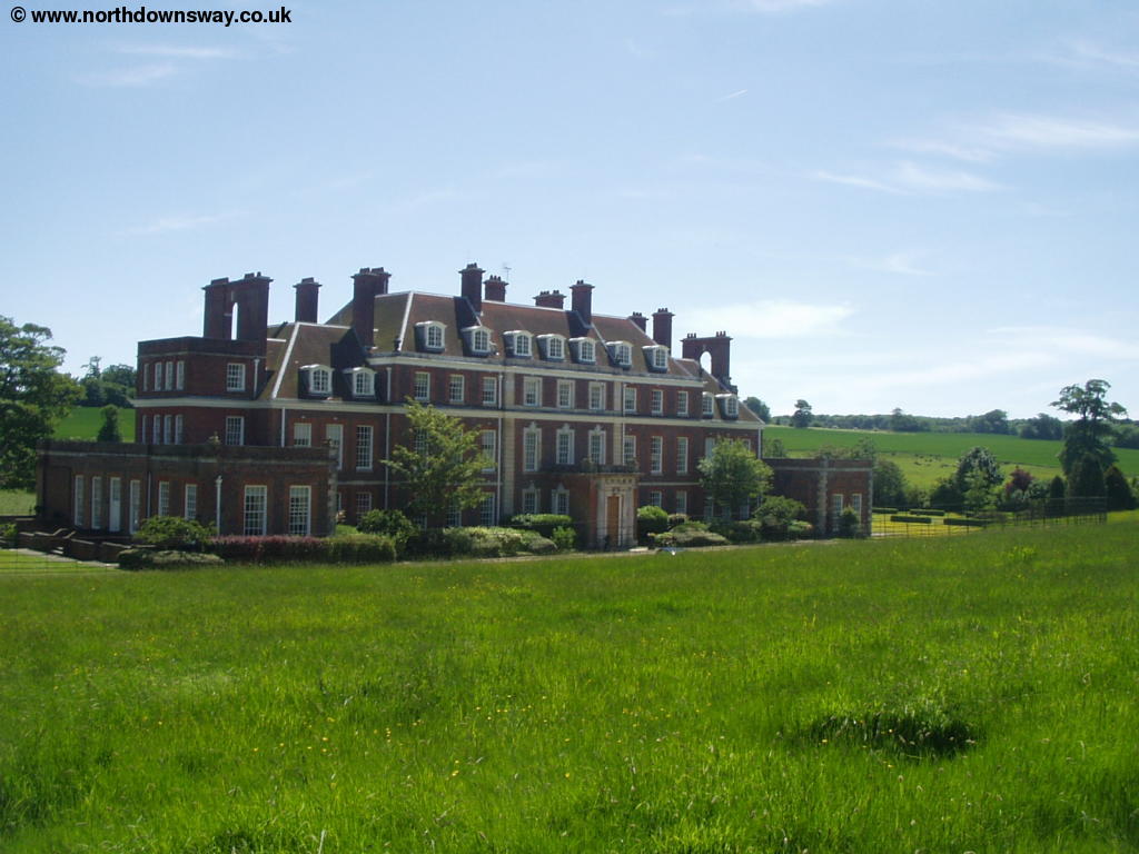
Soon you pass by a large group of trees on the right (Waldershare Park) before coming into a grassy field with the large Waldershare House ahead. The house is believed to date from 1712 and is now divided into apartments and so is not open to the public. Beyond the house the path heads just to the left of this impressive house joining the drive past the house. Follow the main driveway to the left just after passing the main house passing a yellow cottage on the right (with some other cottages next to it).
 |
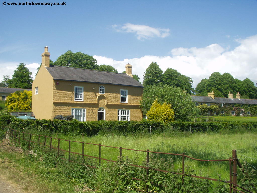 |
| Waldershare House | Cottages near Waldershare House |
Soon you turn left off the driveway into another grassy field straight towards a round clump of trees in the middle of the field. The path heads straight through the clump of trees and across the other half of the field on the obvious path. Here it's something of a surprise to emerge from the field to a small but pretty church - All Saints Church, Waldershare, presumably this Church was constructed to serve Waldershare House and the small group of cottages nearby. It is currently closed however and apparently for sale.
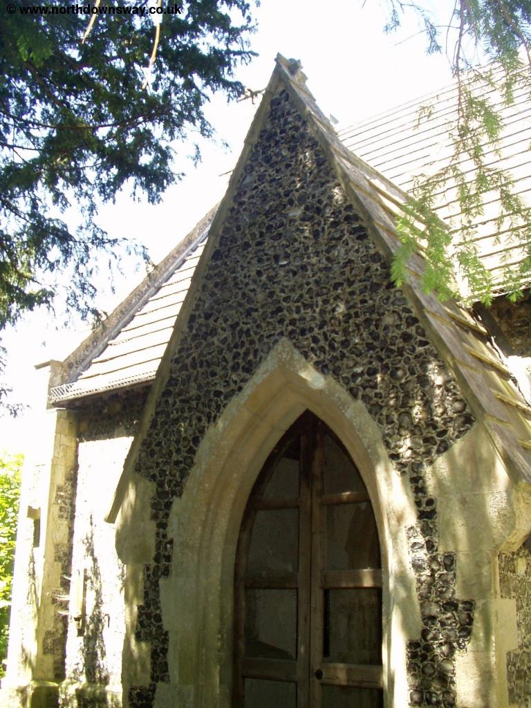 |
| Waldershare Church |
Go through the gate from the church, emerging onto the road which you cross and then take the bridge over the busy A256. Once over the road you turn slightly left towards the corner of the clump of trees, then turn to the left towards Minacre Farm. Before you get to the farm though the path turns right, passing close to the farm buildings and emerging onto the quiet road into the small village of Ashley with it's thatched cottages.
 |
 |
| Looking towards Minacre Farm | Looking back to Ashley |
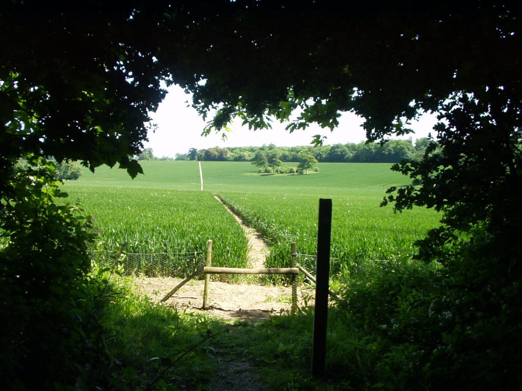
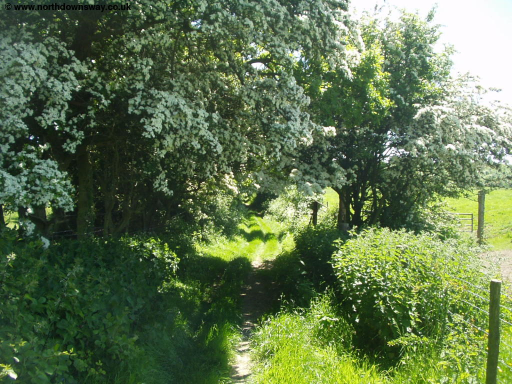
You enter the village on Waldershare Road and turn right at the junction, continuing straight on when the road turns to the left, passing along the edge of fields and climbing over a ladder rather than the usual stile to get into the next field. When this path emerges onto Roman Road turn slightly to the right heading towards the buildings of Maydensole Farm. Before you get to the junction you'll see a stile to the left, this is the White Cliffs Country Trail, but continue on the road to the junction. At the junction go straight on, but as the road starts to curve to the right, continue straight on, turning off the road. This part of the path is shared with the White Cliffs Country Trail for the rest of the way into Dover. You continue straight on, ignoring any paths to the left or right and pass through the edge of Cane Wood and emerging onto a road where you continue straight on towards Pineham.
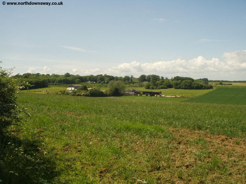
Pineham itself is a small hamlet consisting mostly of farm buildings. When the path joins the road you turn to the right on the road and continue with the road as it turns to the right, ignoring the footpath that continues straight ahead. As the road then turns to the left continue on the North Downs Way ahead.
 |
 |
| Near Pineham | Near Pineham |
Soon you arrive at the busy A2. The path shown on some maps appears to go straight across this busy road, but the path no longer follows that route. As hinted in the guide, alternatives to this crossing were being looked into, and the path is now diverted to the east towards Guston, where there is a bridge over the road. So as you approach the road you'll now turn left, following the path near to the road until you get to the bridge which you cross and the retrace your steps by turning right on the other side of the road then turning left about half-way back and rejoining the old course of the footpath. The path is well above the A2 though so the road is not quite as intrusive as it could be and you are well protected from the traffic. Once on the old path, continue south on this pleasant path, with views of the English Channel ahead.
The path now begins to descend towards Dover, the end point of the footpath initially in a tree-covered path which soon becomes tarmacked. Once over the railway bridge you'll be passing the large cemetery on your left. Soon the path emerges onto Old Charlton Road, but only briefly, as you soon turn left to climb on a narrow path through the cemetery under several small arches.
 |
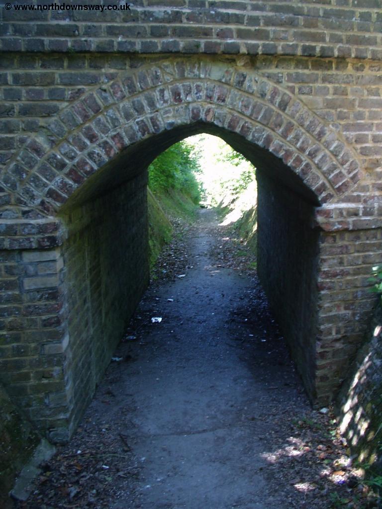 |
| The Cemetery | One of the arches on the path through the cemetery. |
The path through the cemetery comes out onto Connaught Road where you turn left then almost immediately right into Park Avenue. Continue down Park Avenue until you get to the busy junction with the A256 (Maison Diue Road) where you turn left. Continue on this road until you get to the church on the left, then turn right into Pencester Road, passing the Bus Station on the left and almost immediately after that you see a park which you walk through, emerging onto Church Street, continuing down this road until you get to King Street and reach the market place, the end of this walk and the end of the North Downs Way. Arriving in Dover from the North is considerably more pleasant than from the harbour, as you pass some large and well-kept houses and have good views of the castle towering over much of the town - well worth visiting if you have time. If you walked to Dover via Canterbury rather than via Etchinghill also consider walking the section of the path to Wye via Etchinghill, since it's also a very enjoyable walk, especially along the coast between Dover and Folkestone. It's also an enjoyable end to the path to walk down to the sea front and the shingle beach, where you can see France beyond on a clear day.
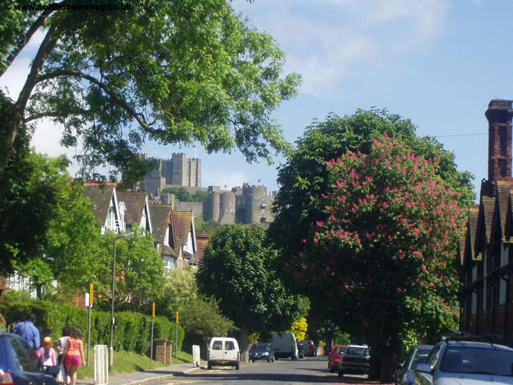 |
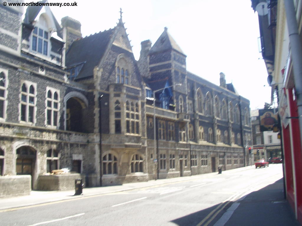 |
| The castle ahead, near Connaught Road | Near Dover Town Centre |
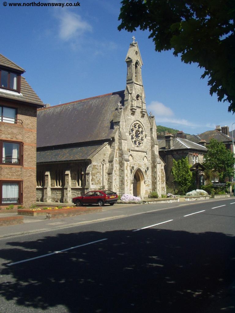 |
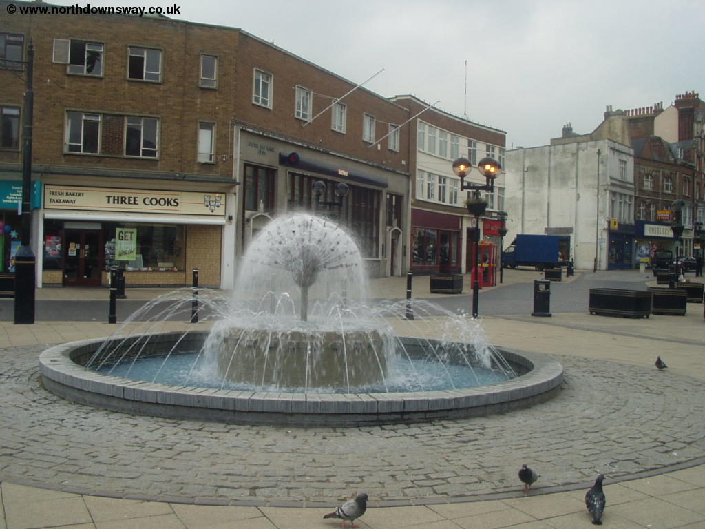 |
| A church near the town centre | The Market Square |
Getting Back
If you're returning to Shepherdswell, there are hourly trains (seven days a week) from Dover Priory station to Shepherdswell, operated by South Eastern Trains. To get to the station from the market square, turn right into Queen Street then when you get to the main road (York Street) turn right, passing the White Cliffs Experience on the right. At the large roundabout, turn left Folkestone Road and then take the second left (Station Approach) to the station. Dover Priory also has frequent trains to London (Victoria, Charing Cross and Waterloo East), Deal, Folkestone, Ashford, Canterbury, Ramsgate, Tonbridge and the Medway Towns.
This walk is also easily accessible from France, with very frequent ferries between Dover and Calais, as well as ferries from Dover to Dunkerque and Boulogne.
Links
The following web sites provide information on the area.
Every effort is made to ensure the accuracy of information on this site, but liability will not be assumed in the event of any inaccuracies. Use of the information on this site is at your own risk. If you find any errors, please use the link below. The text and photographs on this web site are all Copyright © and may not be reproduced without prior permission.