Westhumble - Merstham
Westhumble - Merstham | |
Introduction
This walk starts from the bottom of Box Hill near the village of Westhumble. After crossing the river Mole the path climbs to the summit of the famous beauty spot of Box Hill. From here there are views towards Dorking and Reigate and of Denbies. From Box Hill the path rounds several old (and one active) quarry before passing through woodland and climbing Juniper Hill, Colley Hill and Reigate hill, where there are again excellent views over Reigate and Redhill. From Reigate Hill the path descends and passes through the grounds of a school and golf course before arriving in the centre of the small town of Merstham.
Getting to the Start
Westhumble is easily reached as it's just of the A24 and also easily reached on the A246 from Guildford. It is probably best to use the car park on the B2209 near the southern junction with the A24 (where there is a cafe) or the car park at the bottom of the hill just before the stepping stones, which is smaller, but both a free. If you park at the cafe, be sure to check the closing time of the car park (displayed on a large yellow notice), as it does close in the evening, although it is usually late.
If you're travelling by public transport, there is a station at Westhumble, with hourly trains on the London Victoria to Horsham line. There are also some services on the London Waterloo to Dorking line that stop there. Alternatively, bus number 456 runs from Fulwell to Dorking, along the A24, where there is North Downs Way stop. Finally, it is around a 10 - 15 minutes walk from Dorking, along the A24 (there is a footpath), where there are many bus services as well as regular rail services from London from Dorking station and services from Reading, Guildford, Redhill and Gatwick Airport from Dorking Deepdene Station.
The Walk
NEW: Click here to view new photos of this walk taken in the winter after heavy snowfall (taken in December 2010). The photos cover the route from Dorking to Reigate only.
There is a choice of places to start this walk. If you're travelling by public transport, Westhumble village is probably easiest. From here, head to the A24 and walk a short distance North, where there is a subway under the road. If you're walking from the car park or from Dorking, head along the A24 until you get to the North Downs Way - it is well signed.
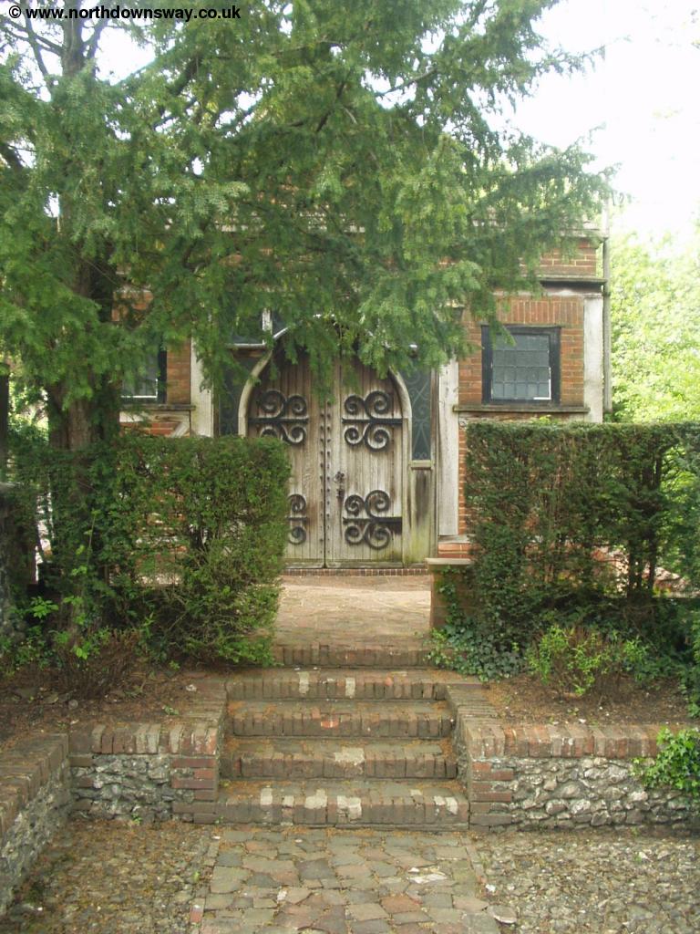 |
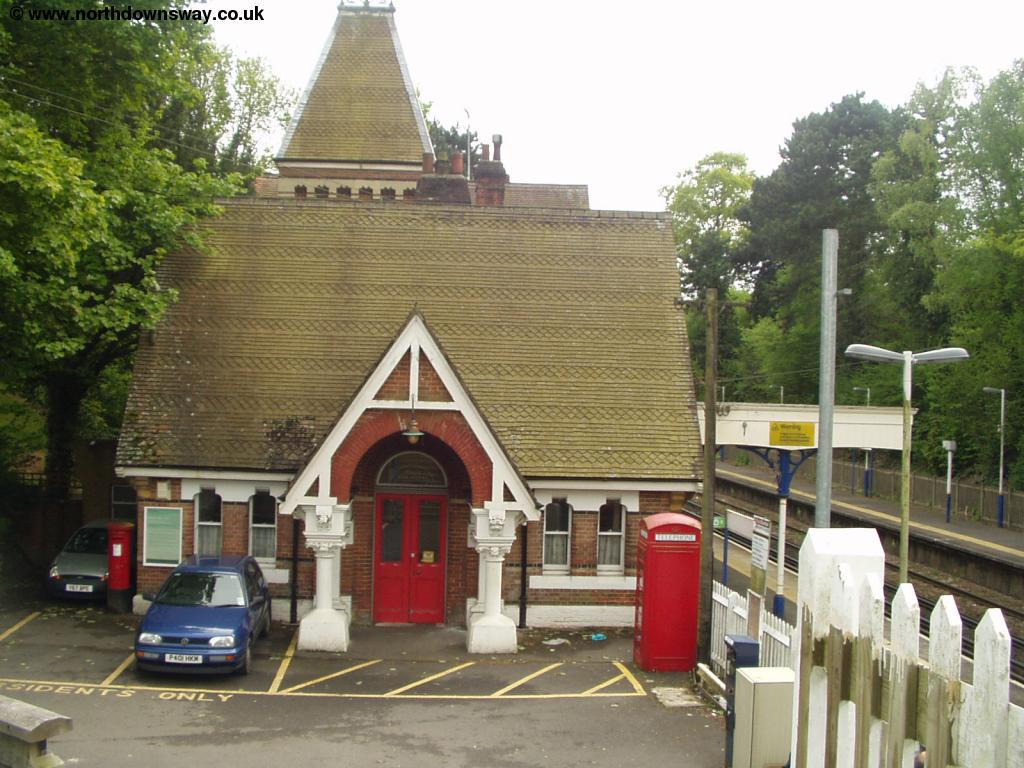 |
| Westhumble Chapel | Boxhill and Westhumble Station |
Once onto the North Downs Way on the east side of the road, pass through the small car park where you will need to cross the river Mole. There are two choices, the nearest is the stepping stones, but after very heavy rain you may need to use the bridge instead.
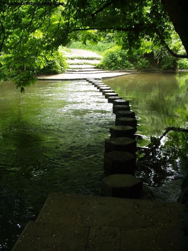 |
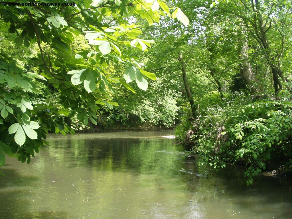 |
| The Stepping stones over the river Mole | The River Mole |
Once over the river, there is a steep and long climb up Boxhill. Fortunately, there are plenty of places to stop and enjoy the view (and catch your breath) on the way up.
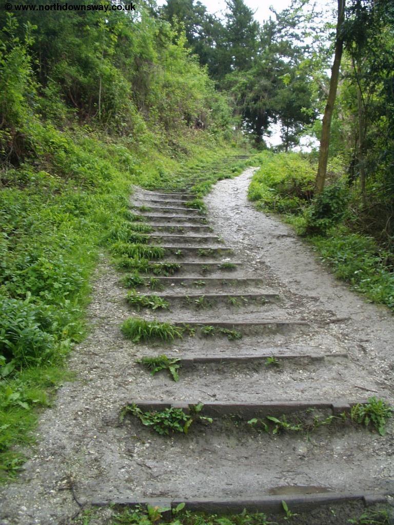 |
| Steps up Boxhill |
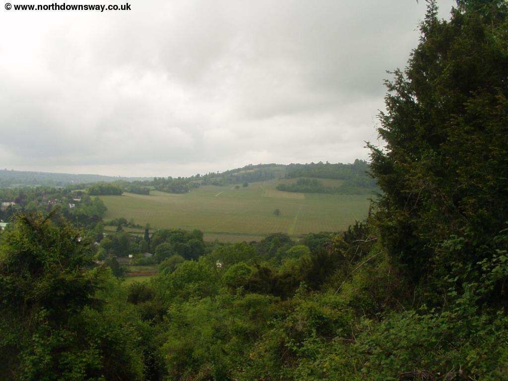
The reward for the climb is the stunning views from the top of Boxhill. There is a triangulation point at the top of the hill and also a visitor centre and cafe further back from the path, run by the National Trust.
 |
 |
| Denbies vineyard from Boxhill | View from Boxhill |
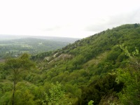
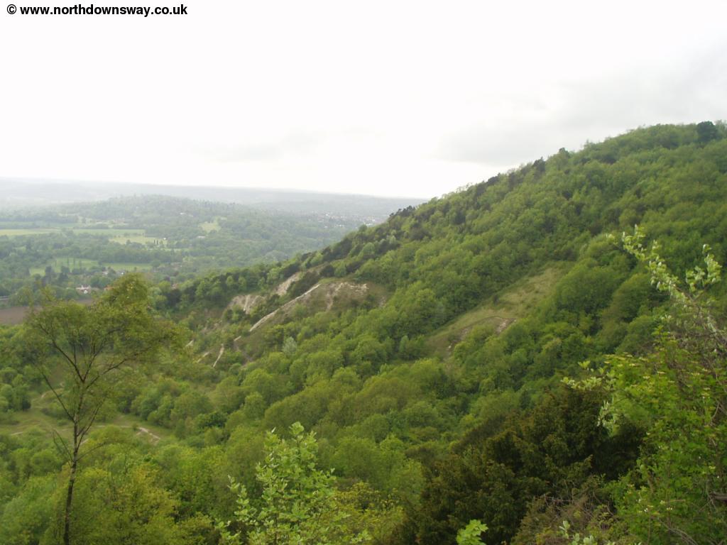
The path continues at a high-level for a while, just to the right of a small road. There is a descent through woods followed by a fairly steep climb back up towards Brockham Hills. From Brockham Hills you get views back towards Box Hill.
 |
 |
| Looking back to Boxhill | View from Brockham Hills |
The path descends again from Brockham Hills with an old quarry to the right and then passes an ugly working quarry.
 |
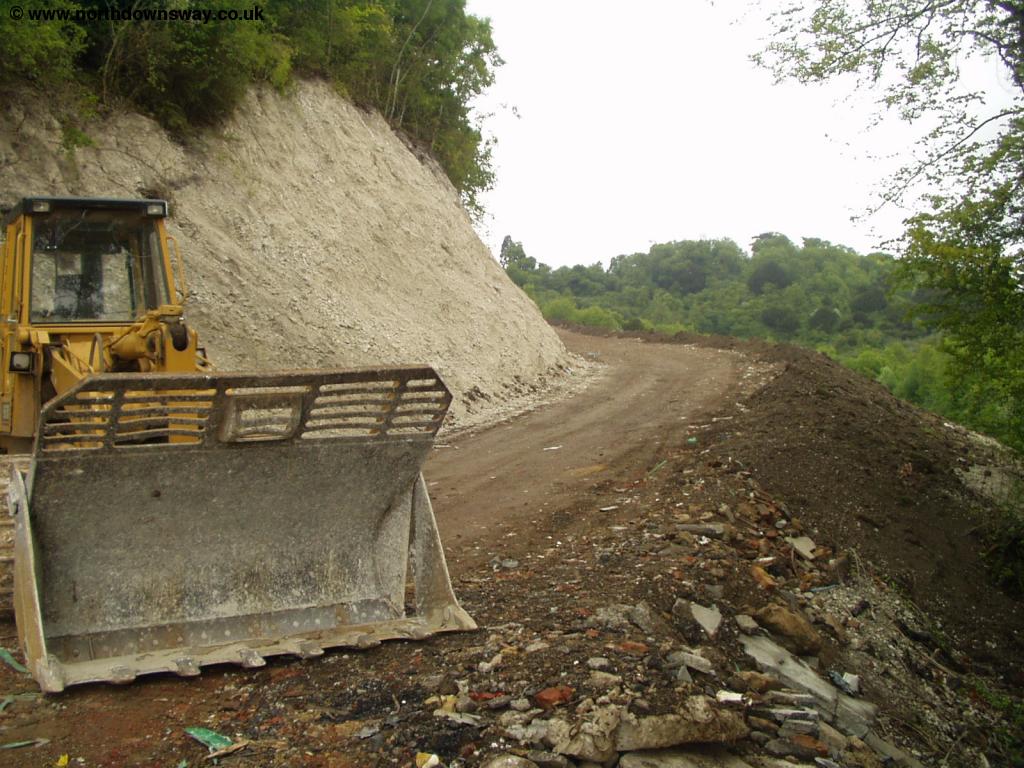 |
| The Quarry Works | The Quarry Works |
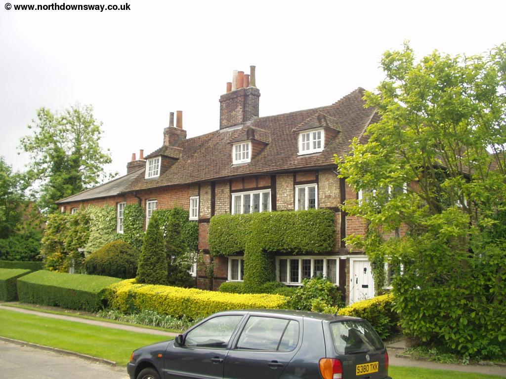
Once past the quarry the lane comes out into a residential road that then comes out onto a main road (Pebblehill Road). The North Downs Way turns left onto this road, although you can also turn right, which takes you to Betchworth station and then on into the village of Betchworth. On the main road, the path continues on the left of the road after a short distance, by the house in the picture below.
 |
| A house on Pebblehill Road, where the North Downs Way leaves the edge of the road. |
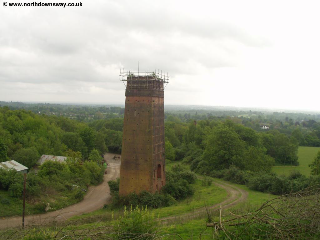
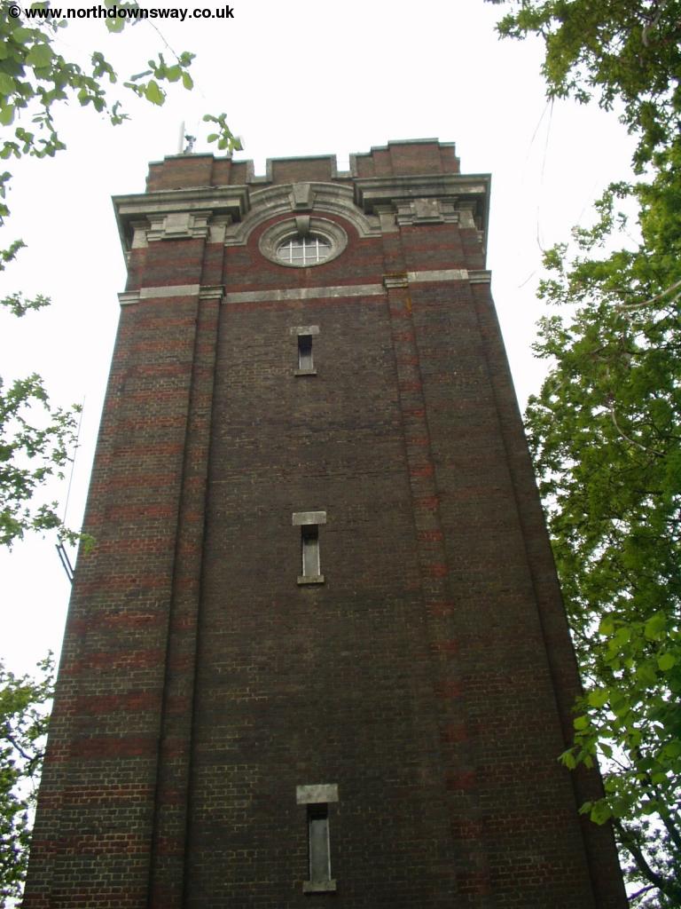
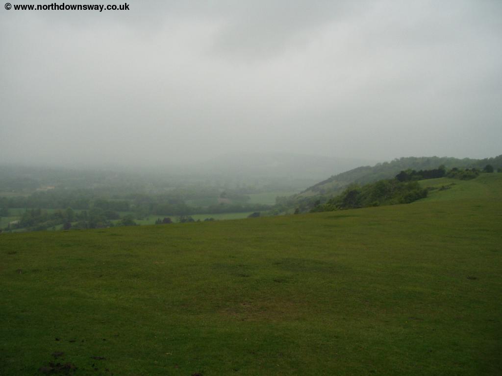
Once the footpath returns to the road you need to cross, as it then goes off to the right and then turns left again, back towards the Downs, following in and out of trees, just to the south of the downs. The path goes into the National Trust land around Juniper Hill and into some woods. The North Downs Way is crossed by several other paths around this area, but it is well signed. After a while, the North Downs Way goes off to the left and climbs steeply up Juniper Hill and Colley Hill. The path is then fairly flat, and pases a water cooling tower before coming out onto a lovely open area. There is a covered seating area, where the roof is painted blue and superb views over the countryside and towards Reigate and Redhill. The weather wasn't in my favour on this part of the walk though.
 |
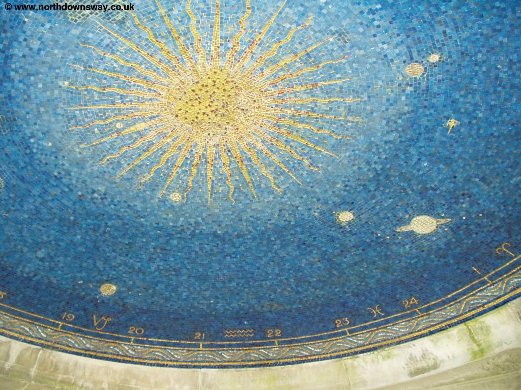 |
| The Water Tower | The roof of the seating area |
 |
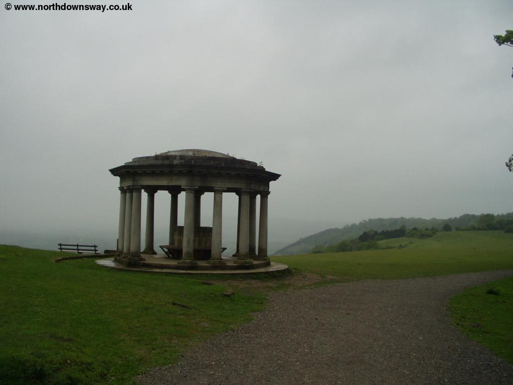 |
| The view from the Seating area - lovely on a nice day, but not so good in the rain! | The Seating Area |
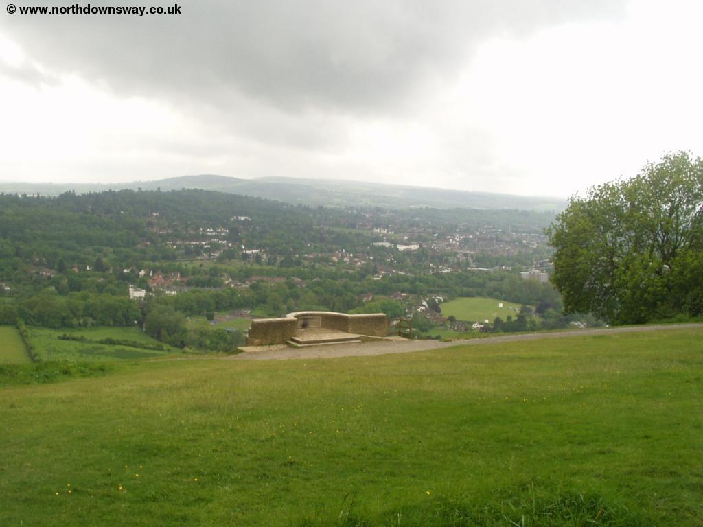
Once past the open area near Reigate Hill, the North Downs Way pases by Reigate Fort, although it's not as grand as might be expected from the name.
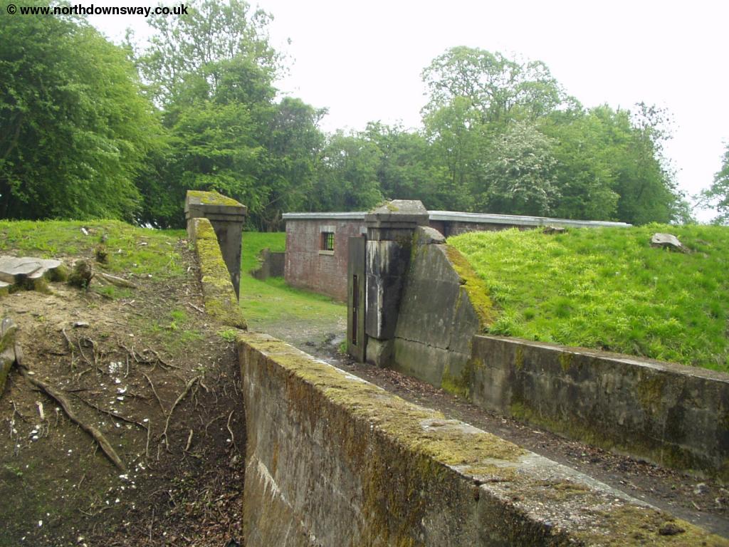 |
| Reigate Fort |
Once past Reigate Fort, the path crosses the A217 and then goes into some National Trust owned woodland, where it gently descends. Once out of the woodland the path goes into the edge of Gatton Park where there is a private school. There is a small pond and lake here and the path pases the assembly hall and then past some residential buildings.
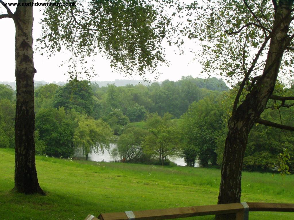 |
| Gatton Park Lake |
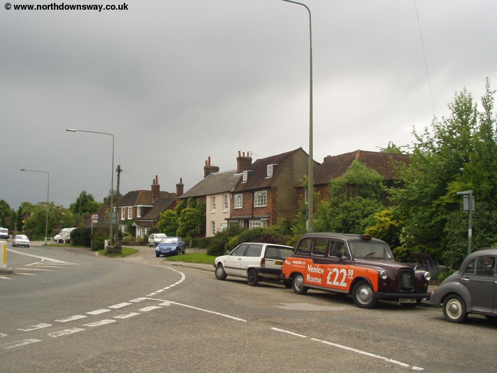
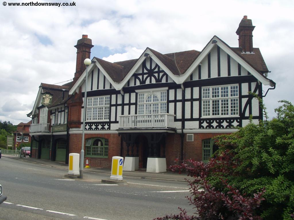
After a while you have to follow the road through the school grounds, passing the thatched gatehouse. Once through the school the path then cross a golf-course and then a cricket ground, with the noise of the M25 motorway to the north becoming more obvious. Once past the cricket ground the path comes out into the centre of the small town of Merstham, by The Feathers public house. The centre of the town is to the right.
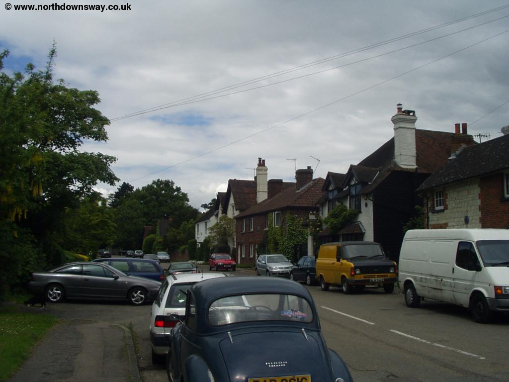 |
 |
| Merstham | Merstham |
 |
 |
| Merstham | Merstham |
Getting Back
There is a station in Merstham, down Station Road on the left of the High Street, opposite the bus shelter. Mertsham is on the London Bridge to Tonbridge and Maidstone line, operated by South Eastern Trains and runs hourly. It is also on the London Bridge to Horsham line, operated by Southern which is also hourly. The two routes result in a half-hourly service to London Bridge and Redhill.
To get back to Westhumble and Dorking, take a train from Mertsham to Redhill (every 30 minutes). From Redhill there are between one and two trains per hour on the North Downs Line to Dorking Deepdene, operated by First Great Western Link. From Dorking Deepdene it is a short walk to the main station in Dorking, from where the are hourly trains to Boxhill and Westhumble. There is also a half-hourly bus service, number 456 operated by Tellings Golden Miller on behalf of Transport for London which goes to Fulwell and pases the North Downs Way. Finally, it is around a 15 minute walk from Dorking Deepdene station back towards the start of the walk.
Links
The following web sites provide information on the area.
Every effort is made to ensure the accuracy of information on this site, but liability will not be assumed in the event of any inaccuracies. Use of the information on this site is at your own risk. If you find any errors, please use the link below. The text and photographs on this web site are all Copyright © and may not be reproduced without prior permission.