Wye - Canterbury
Wye - Canterbury | |
Introduction
The rural town of Wye is the start point for this walk, which follows the North Downs Way back towards Boughton Lees, then takes the northern route of the path to Canterbury. The path pases through woodland, into the beautiful town of Chilham. From Chilham, the path climbs into Old Wives Lees then on through the edge of Chartham into the magnificent city of Canterbury, with its' cathedral dominating the skyline.
Getting to the Start
Wye is on an unclassified road, just off the A28. From the M20 motorway, if coming from the west, exit at junction 9 and join the A20 towards Ashford. At the first roundabout turn left onto the A28. If coming from the east, exit at junction 10 and join the A2070 and at the first roundabout turn right onto the A28. Continue on the A28 until you see a sign for Wye to the right (Harville Road) which brings you to Wye station. Once in Wye, go over the level crossing and over the bridge, then turn left (into Churchfield Road), as you come towards the church up the hill there is a free car park on the right, around a block of garages by some flats.
If you're travelling by public transport, Wye has a station, which is on the Canterbury West - Ashford line, however most trains run through from London via Maidstone East and on from Wye towards Margate and Ramsgate. Trains run hourly 7 days a week and are operated by South Eastern Trains. By bus, Stagecoach East Kent service 652 runs hourly from Canterbury to Chartham and Chilham, with most buses continuing to Wye and Ashford, with Wye having around one bus every 2 hours each way on Mondays - Saturday.
The Walk
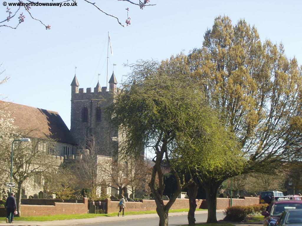
Wye is a pleasant town, with a large green in the centre of the town and a pretty church. The first part of this walk retraces the path back to the edge of Boughton Lees, where the North Downs Way splits to head north towards Canterbury.
 |
 |
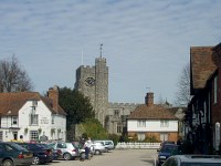
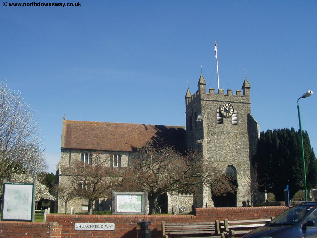
| Wye Church | Wye |
 |
 |
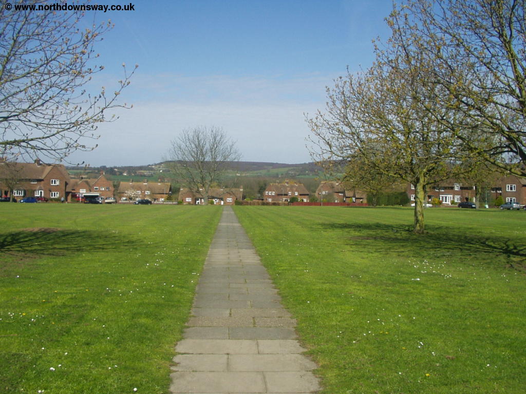
| Wye Green | Wye |
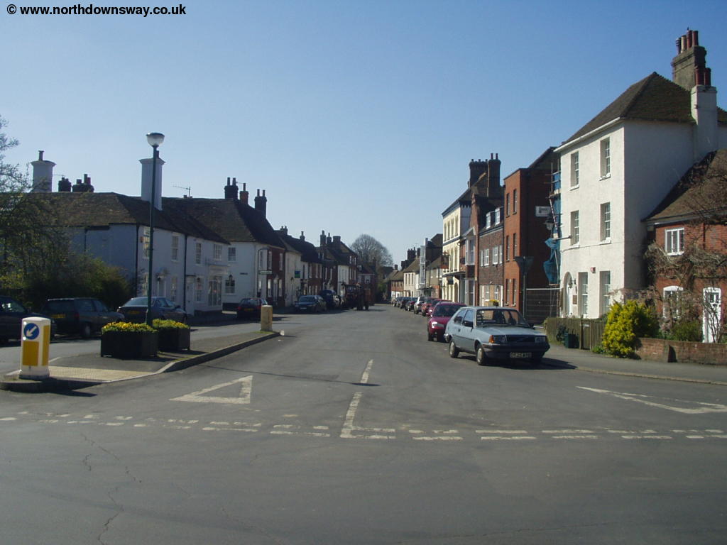
From Wye, if starting from the town centre, head down Churchfield Way, which joins Bridge Street. Cross the bridge over the river, next to the Tickled Trout pub to Wye Station.
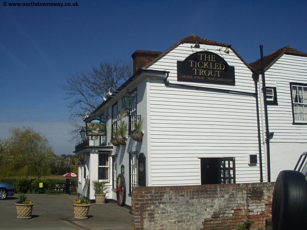 |
| The Tickled Trout |
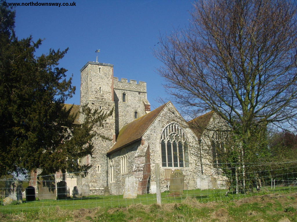
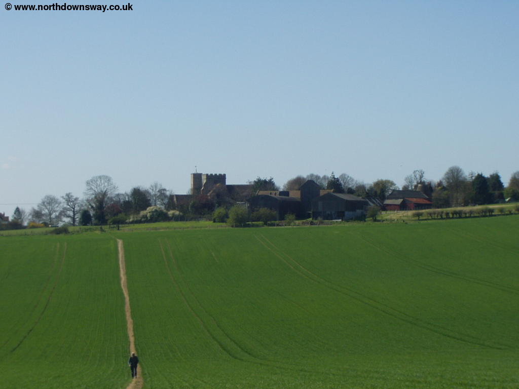
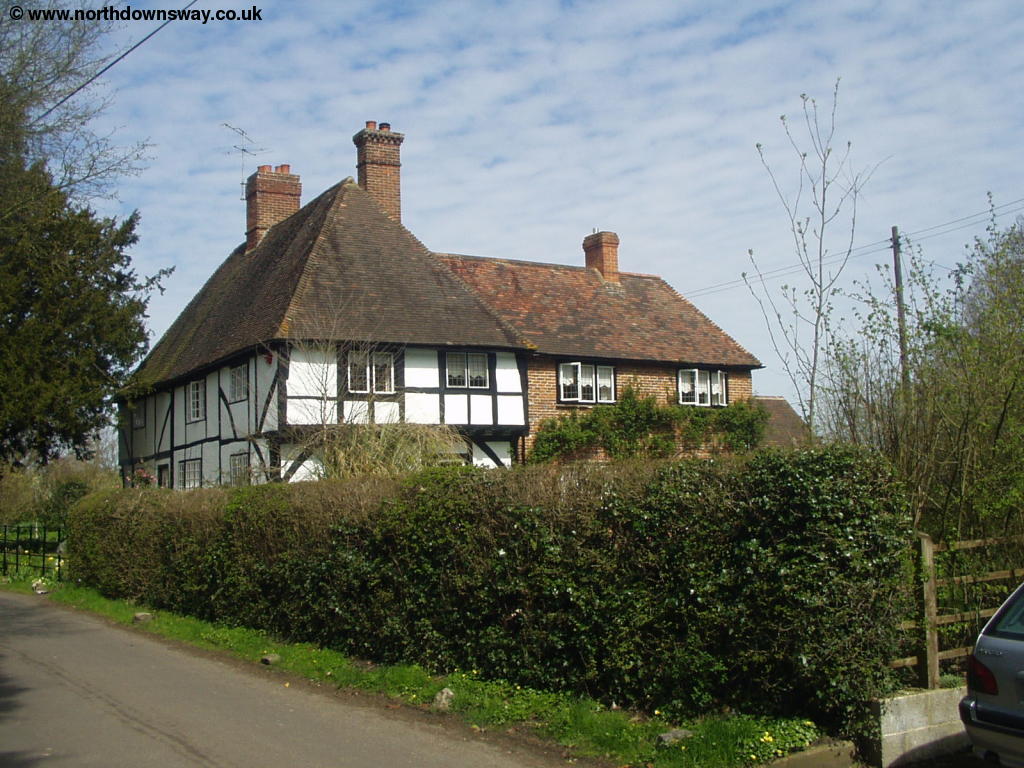
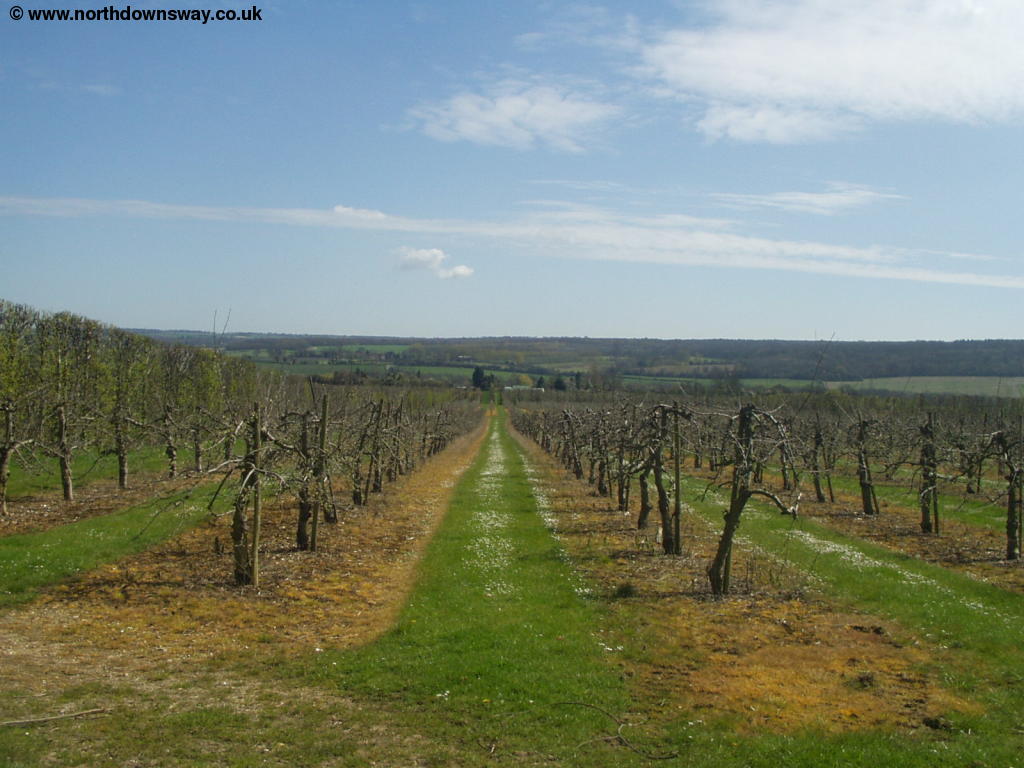
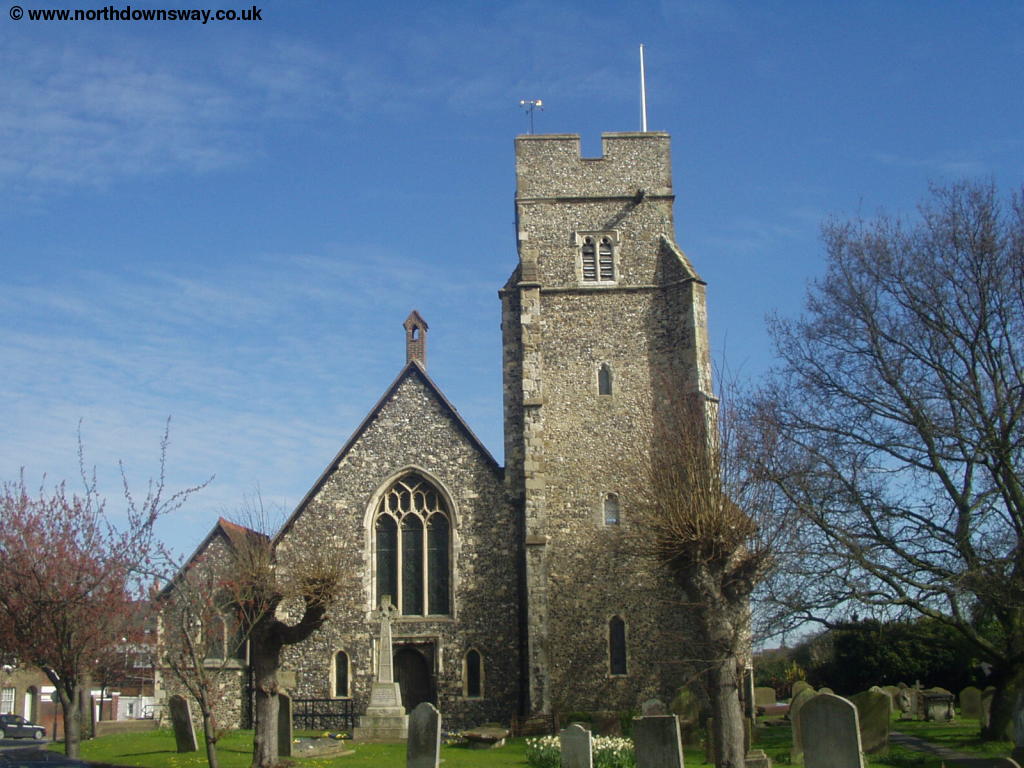
Once at Wye Station cross at the level-crossing, which is still manually operated, and turn left into Harville Road. Soon you see a North Downs Way sign pointing right across the field, which takes you through the centre of the field. As you approach Perry Court Farm you go round some farm buildings and an orchard where you come to the A28. Cross the road and then follow the well-signed path through some more fields. You get views of Wye and the chalk Wye Crown on the hills behind. Soon you join Malthouse Lane and then get to the junction of the path, where you turn right towards Canterbury. The path is narrow here with a fence, but soon opens out into a field, where you can see the small village of Boughton Aluph ahead. Although the village consists of only a few houses, it still has a fairly large church.
Continue straight on, with the church to your left into a field, where the path goes down the middle of the field, dropping down slightly, before climbing back up again.
 |
 |
| Boughton Aluph Church | View back to Boughton Aluph |
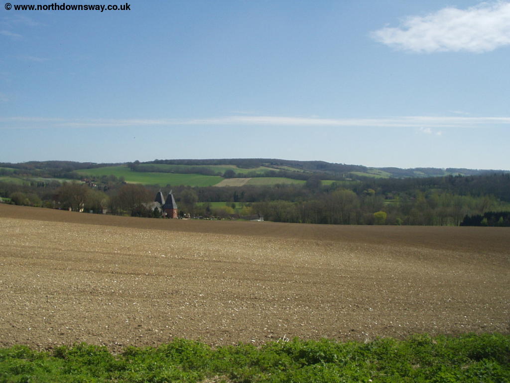
Continue straight on and cross the road, where the path continues straight on (it is well-signed), Here you descend on a gravel lane towards Soakham Farm, with the amsuing sign "Caution, Free Range Children and animals". Beyond the farm the path continues on this lane, as it starts to turn left and climb back onto the downs.
 |
 |
| Climbing onto the Downs | View from the Downs |
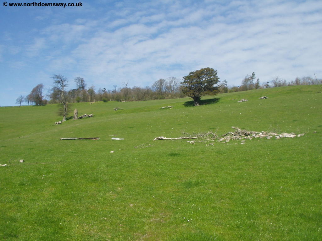
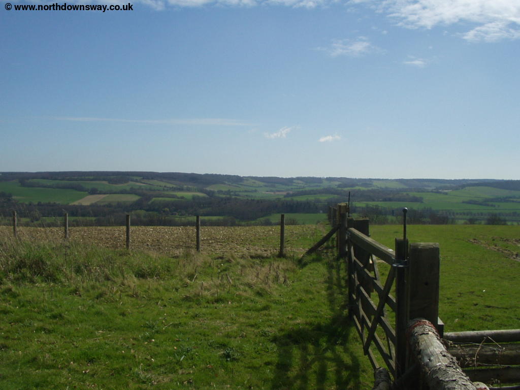
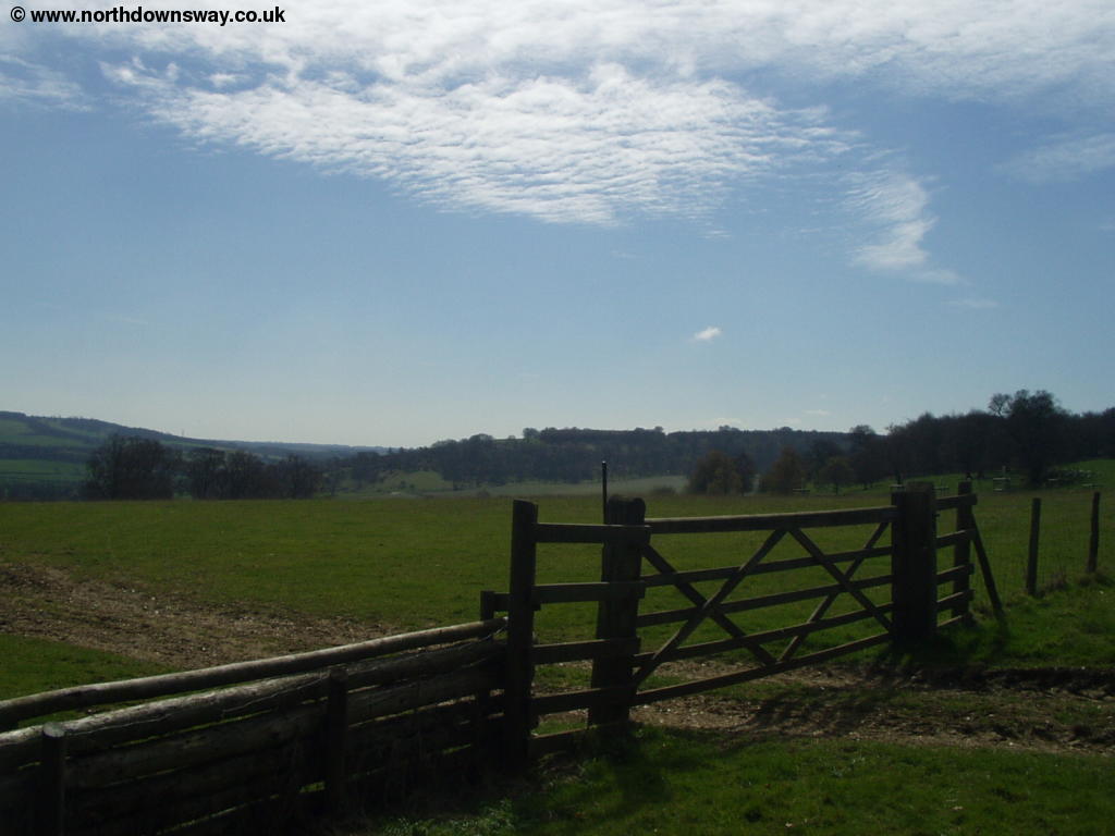
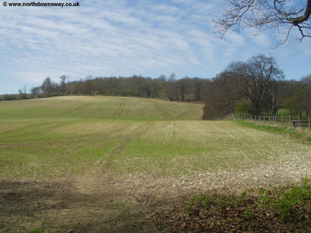
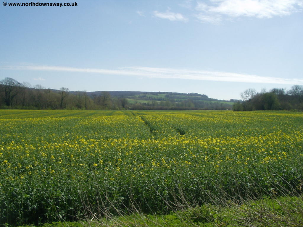
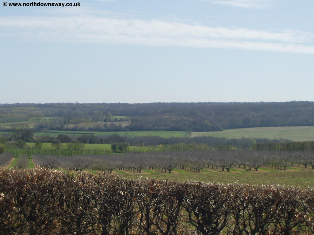
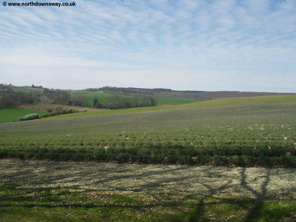
Soon the path turns left and climbs more steeply onto the Downs, through the edge of a wood, before turning right onto Soakham Downs. When the path forks, take the left of the paths (it is well-signed), passing through King's Wood. Views through the wood are limited, due to the trees, but soon the trees to the right start to thin out again, giving you good views.
 |
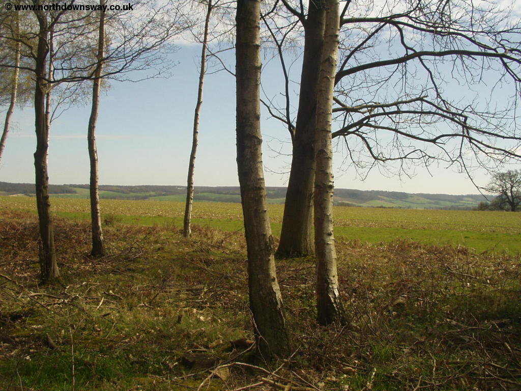 |
| A North Downs Way sign in the woods | View from the North Downs near King's Wood |
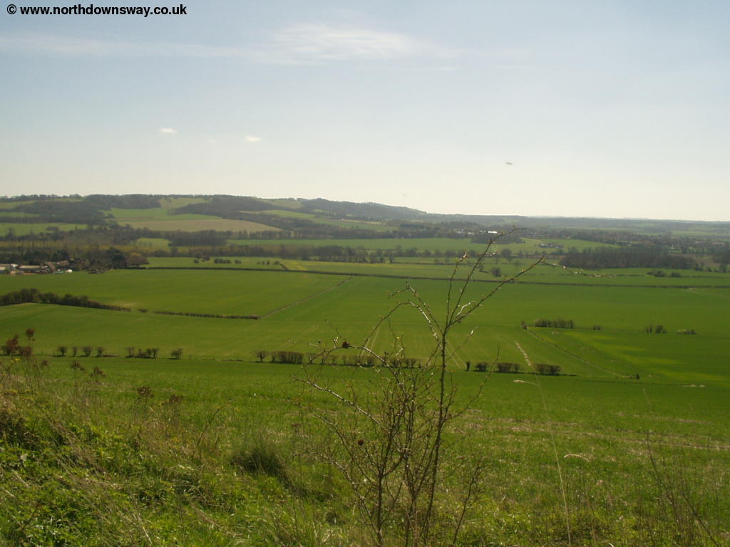
 |
 |
| View from the North Downs near King's Wood | View from the North Downs near King's Wood |
The path continues along the edge of the woods for a while, but then turns right and starts to descend. You emerge onto a lane, which becomes Mountain Street. To the right there are again good views.
 |
 |
| Near Mountain Street | Near Mountain Street |
Soon the track becomes a road heading down into the village of Chilham, passing a few houses in Mountain Street on the right.
 |
 |
| Mountain Street | Near Mountain Street |
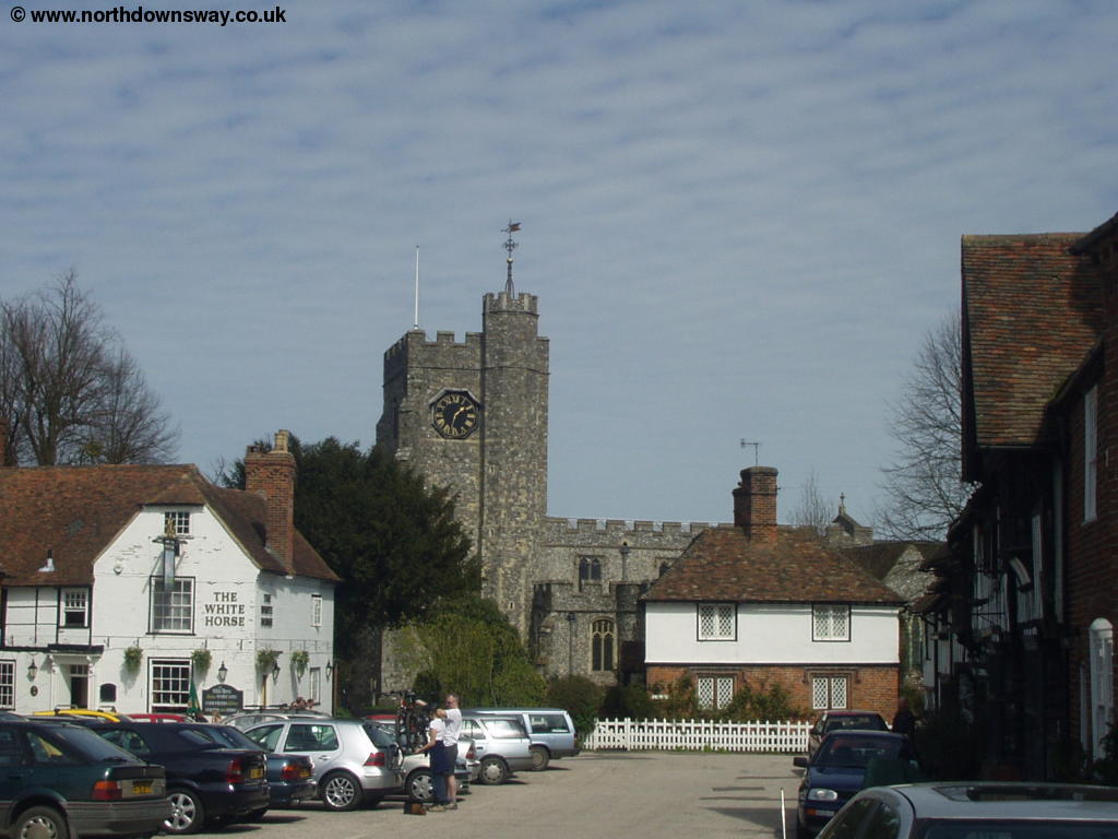
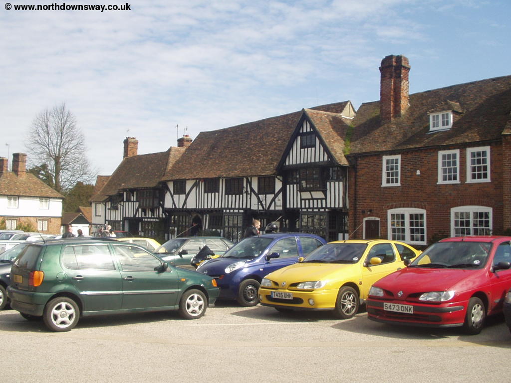
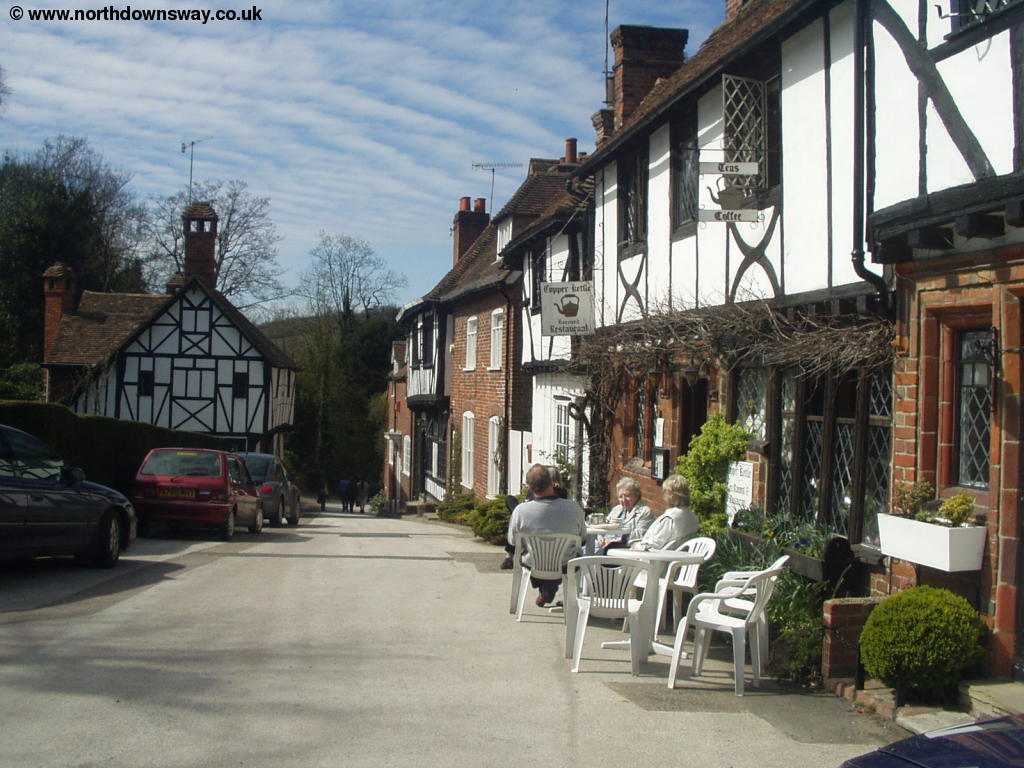
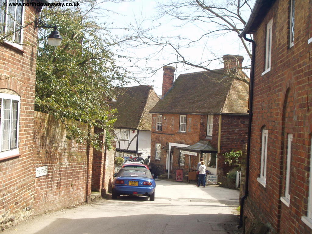
As you descend into Chilham you pass a small lake on the left and the edge of Chilham Castle. Soon Hambrook Lane is on the right, but continue straight on here into School Hill. Soon you pass the buildings of St Mary's Church of England School on the right, where you continue into the pretty village square. Chilham is a beautiful village which has probably changed little over the years (apart from the car park in the middle anyway). It's well worth spending a little while wandering it's streets, although the North Downs Way actually takes you through much of the village.
 |
 |
| Chilham | Chilham |
 |
 |
| Chilham | Chilham |
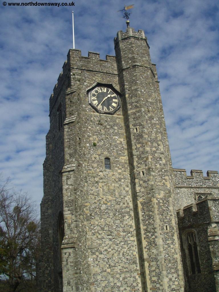
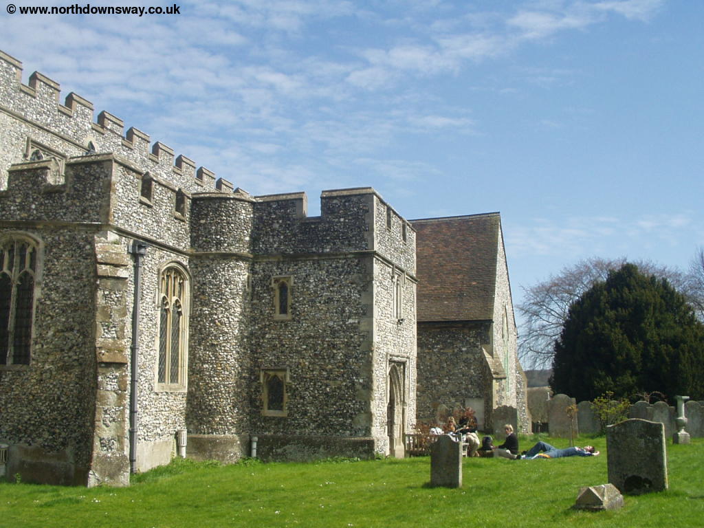
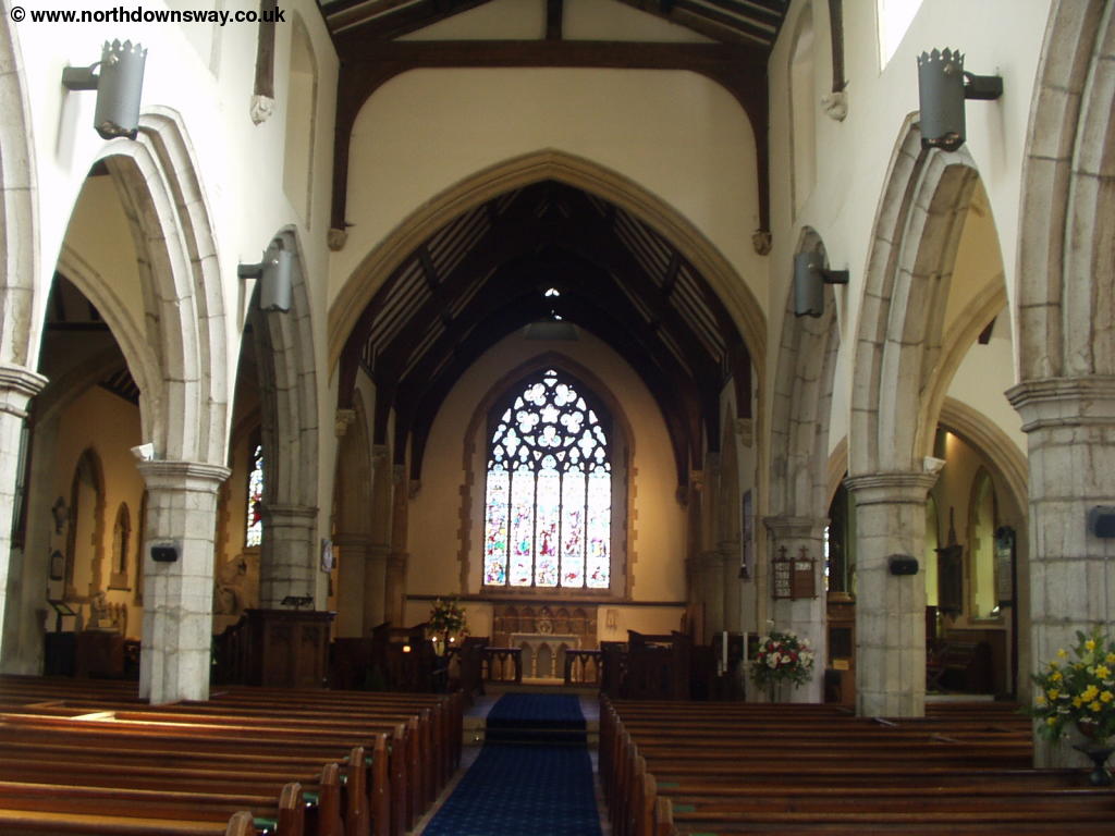
The North Downs Way continues through the churchyard of the solid church. The church itself is surprisingly big for a village of this size and is worth having a looking inside.
 |
 |
| Chilham Church | Chilham Church |
 |
|
| Inside Chilham Church |
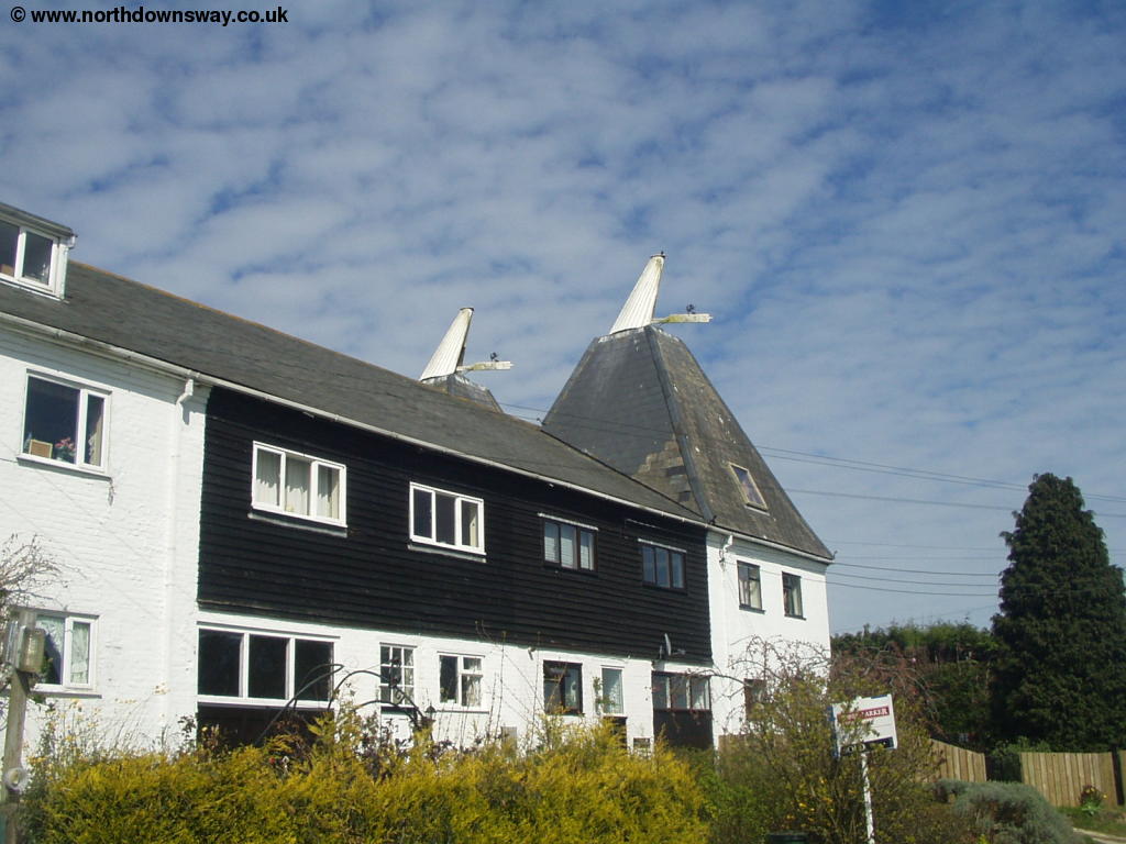
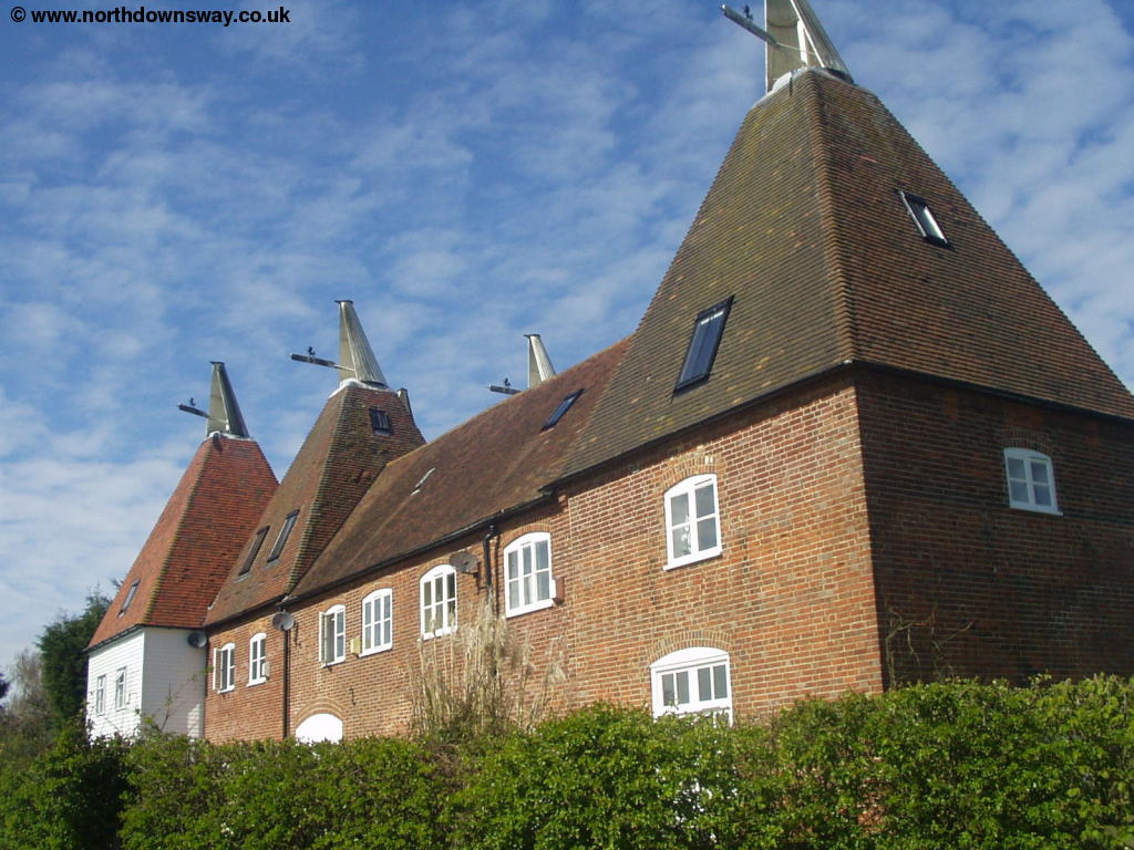
The path then descends through the churchyard and then down to the busy road below. Cross the road and continue straight on up aptly named Long Hill. This hill takes you into the oddly named village of Old Wives Lees. When you get to the junction, turn right into Lower Lees Road, with it's attractive Oast House on the left near the end of the road.
 |
 |
| Near Old Wives Lees | Old Wives Lees |
At the end of the road, turn left into Lower Ensden Road, then almost immediately turn right onto the path across the fields. Here the path descends through a field, before climbing back up towards the top of the hill again. Although the path turns a few times here, it is well signed.
 |
 |
| Near Old Wives Lees | Near Old Wives Lees |
Soon you are approaching the railway line by a farm. Part of the farm is being used as a caravan site (oddly not marked on the map). Walk along the edge of the field adjacent to the railway line until you get to the tunnel, which you go under. Continue straight on once under the bridge, then turn right and follow the path round the edge of Fright Wood, which soon becomes a road. At the road junction turn right where you emerge onto Hatch Lane. If you turn right and continue down this road, you will arrive at Chartham Station, which has trains back to Wye if you wish to finish here. The North Downs Way continues on into New Town Street, past a pub on the left.
 |
| Near Chartham Hatch |
At the end of New Town Street, you pass over Howfield Lane. Here you turn left (almost straight on), then follow the signs down a narrow path between houses. Cross Bigbury Road and continue past the recreation ground on the right into the trees of Howfield Wood. The North Downs Way is well signed through these woods and soon you'll here the noise of the nearby A2 as you get ever closer to it.
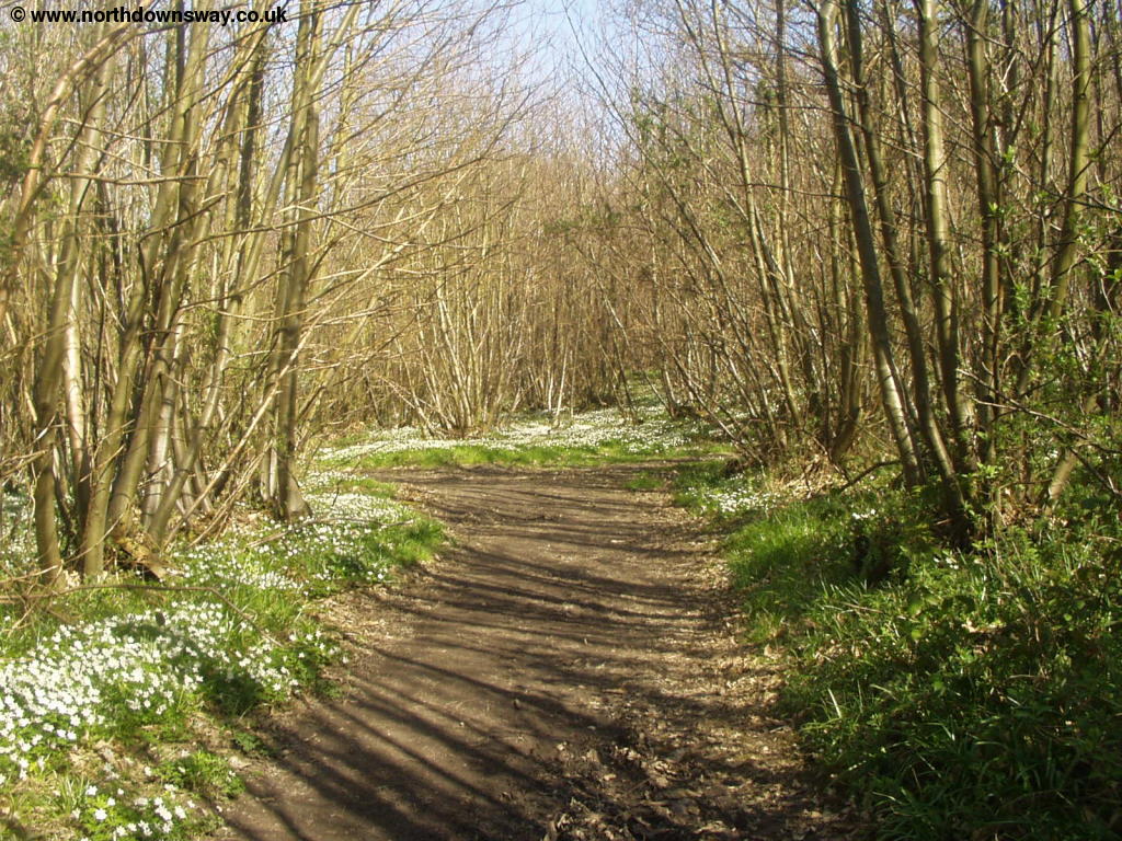 |
| Howfield Wood |
The path through the wood emerges onto Faulkners Lane, where you cross on the bridge over the A2. Once over the bridge turn immediately right where the path runs parallel with the road. Soon the path turns left away from the road where you cross a small bridge then climb up the hill (Golden Hill). This path comes out into Mill Lane which you follow all the way to a roundabout. You need to cross the roundabout, but take care as the main road is very busy. You need to end up in London Road and you get good views of the cathedral as you cross the road. At the end of the road you get to the attractive Church of St Dunstan's. At the end of the road, turn right into St Dunstan's Street. Ahead you can see the stone Westgate in the city walls. Continue down this road into the city centre.
 |
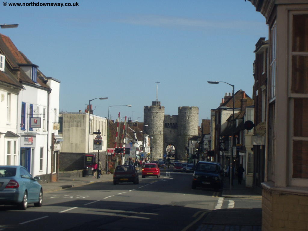 |
| St Dunstan's Church | Looking down St Dunstan's Street to Westgate |
Getting Back
Trains run hourly from Canterbury West station back to Wye, 7 days a week, operated by South Eastern Trains. The station can be found by turning left into Station Road off St Dunstan's Street just before you get to Westgate and just after the level crossing. These trains also call at Chartham and Chilham on the way if you prefer a shorter walk (although Chartham and Chilham will likely only have trains at peak-times on weekdays soon). Most of these trains continue to London Victoria via Ashford and Maidstone East. Trains also run frequently from Canterbury West to London Charing Cross via Tonbridge and from Canterbury West to Ramsgate and Margate.
Stagecoach East Kent also operate a bus a little less often than hourly from Canterbury to Wye from Canterbury Bus Station.
Links
The following web sites provide information on the area.