Wye - Etchinghill |
Introduction
The rural town of Wye is the start point for this walk, which follows the North Downs Way through stunning scenery towards the coast. After the climb out of Wye, passing Wye crown, the path remains near the top of the downs for most of this walk, passing the spectacular Devils Kneading Trough and the village of Stowting. The coast is visible for much of this walk, a reminder that the end of the path is now not far away.
Getting to the Start
Wye is on an unclassified road, just off the A28. From the M20 motorway, if coming from the west, exit at junction 9 and join the A20 towards Ashford. At the first roundabout turn left onto the A28. If coming from the east, exit at junction 10 and join the A2070 and at the first roundabout turn right onto the A28. Continue on the A28 until you see a sign for Wye to the right (Harville Road) which brings you to Wye station. Once in Wye, go over the level crossing and over the bridge, then turn left (into Churchfield Road), as you come towards the church up the hill there is a free car park on the right, around a block of garages by some flats.
If you're travelling by public transport, Wye has a station, which is on the Canterbury West - Ashford line, however most trains run through from London via Maidstone East and on from Wye towards Margate and Ramsgate. Trains run hourly 7 days a week and are operated by South Eastern Trains. By bus, Stagecoach East Kent service 652 runs hourly from Canterbury to Chartham and Chilham, with most buses continuing to Wye and Ashford, with Wye having around one bus every 2 hours each way on Mondays - Saturday.
The Walk
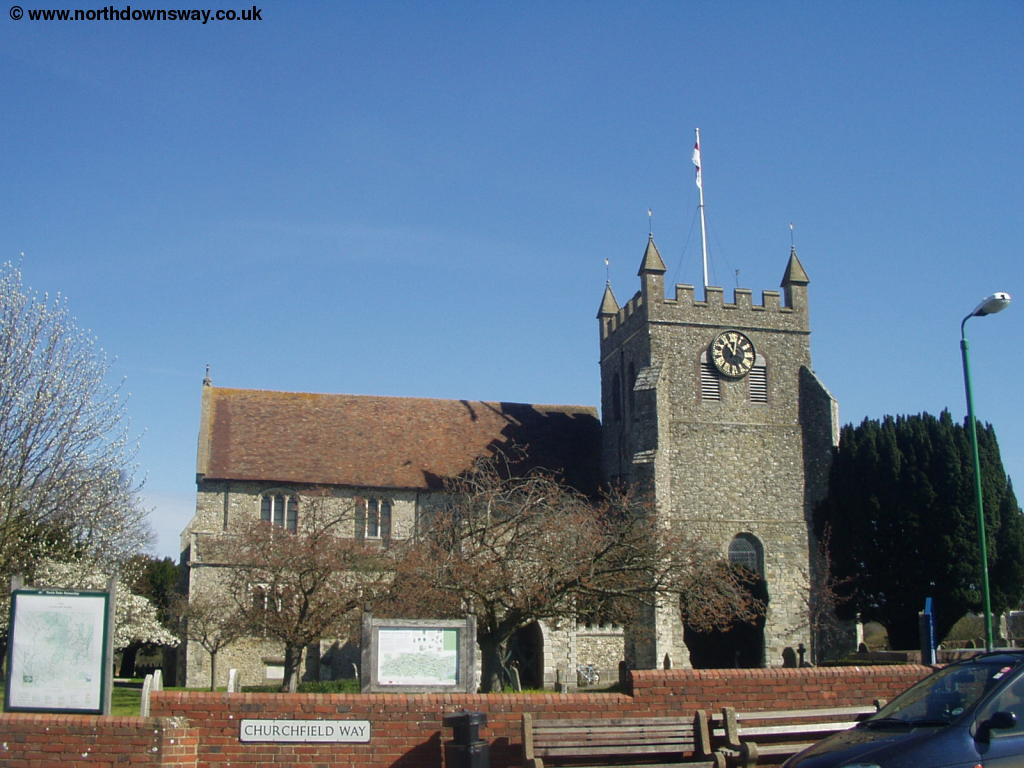
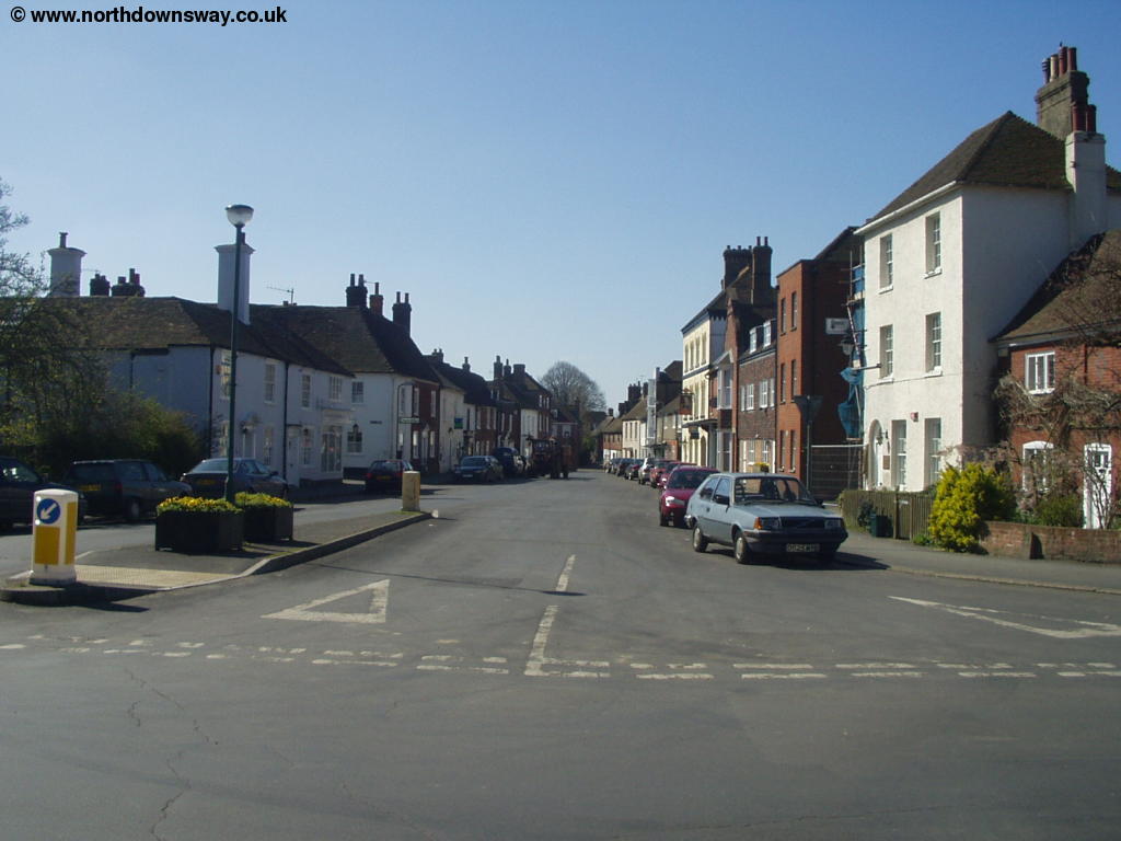
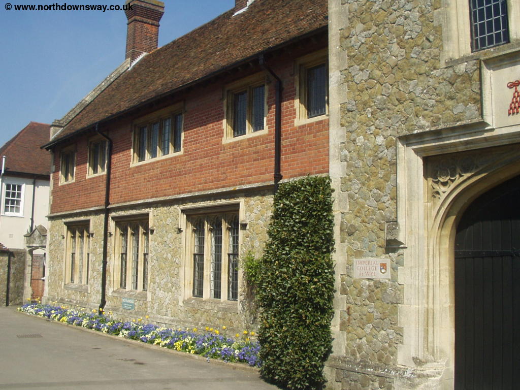
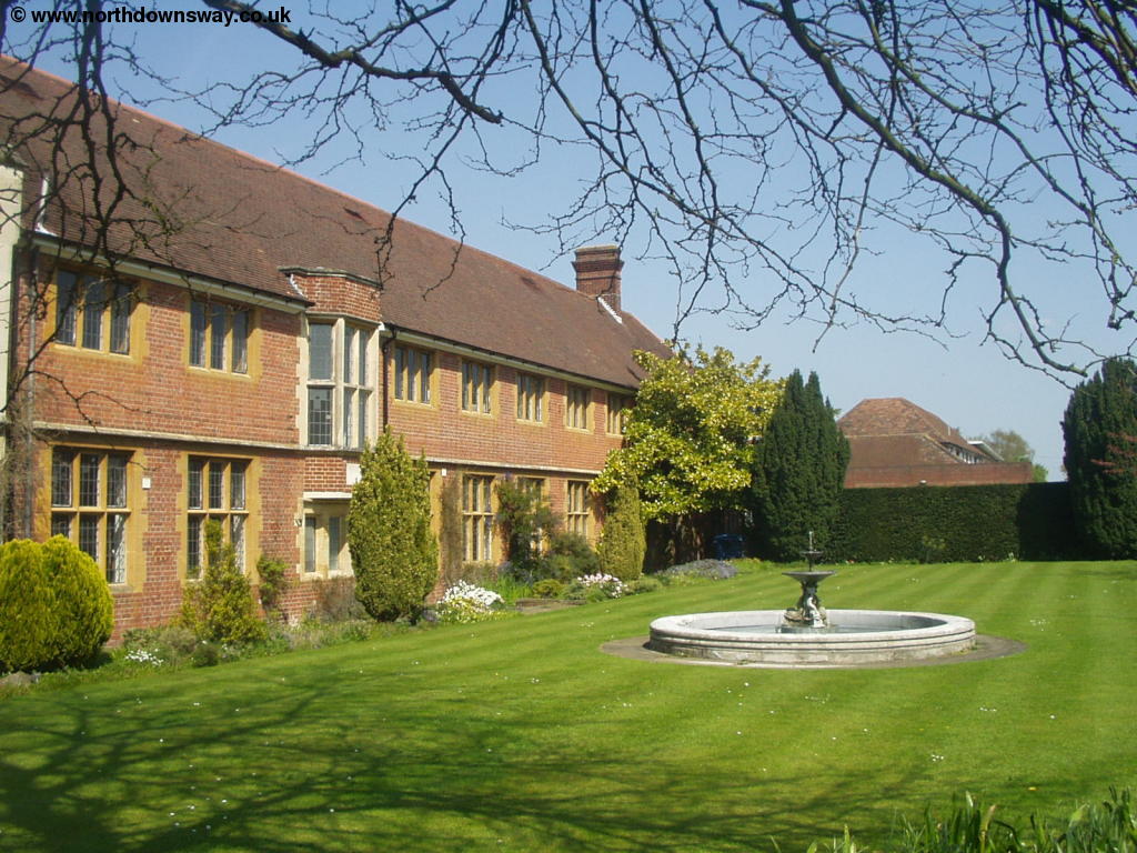
Wye is a pleasant town, with a large green in the centre of the town and a pretty church. It is also the home of Wye College, hence the signs referring to "Imperial College London", as Wye College is now part of the University of London.
 |
 |
| Wye Church | Wye |
 |
 |
| Wye Green | Wye |
From Wye Bridge, turn left into Churchfield Way and continue along Churchfield Way until you get to the Church. Here the North Downs Way goes across the churchyard round the back of Wye College. After the first building, turn right down the road where you come onto Olantigh Road and continue straight on into Occupation Road, past more buildings of Wye College.
 |
 |
| Wye College | Wye College |
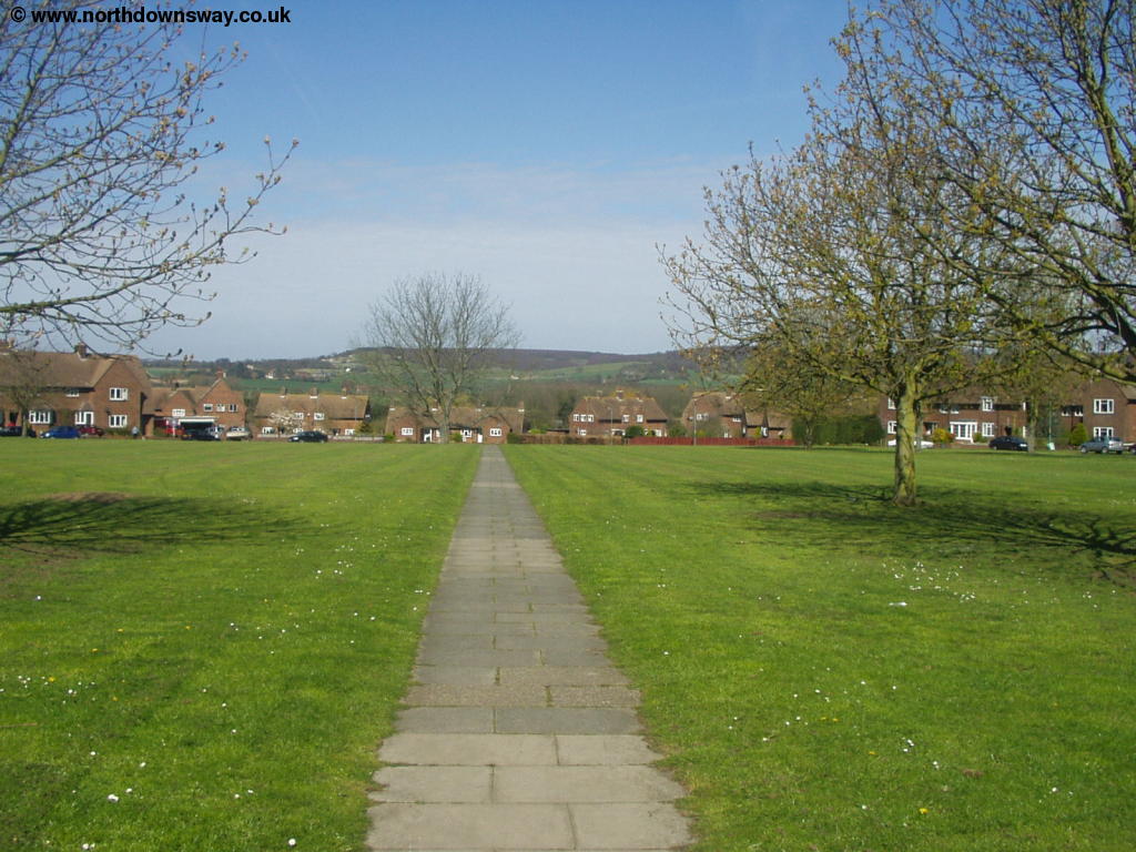
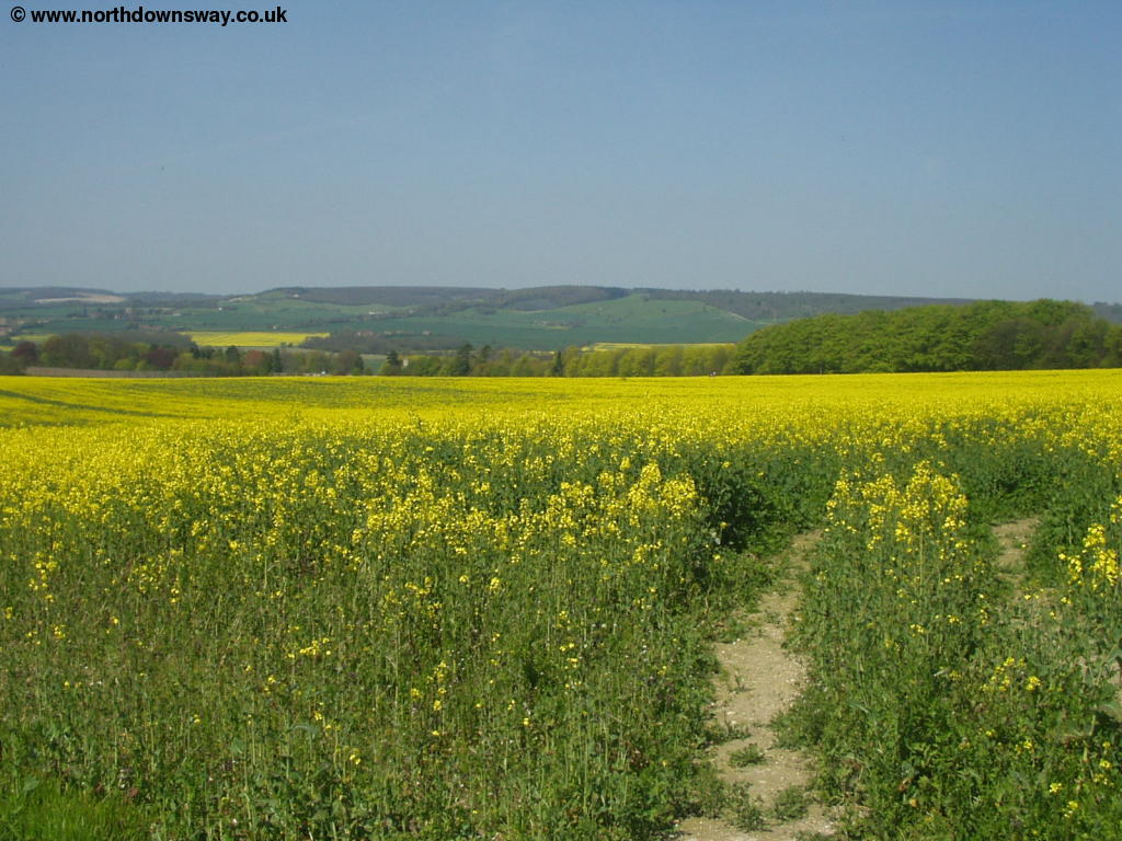
The road soon becomes a track and then a path along a field, where oil-seed rape was growing when I walked the path, making the field a beautiful yellow. The path gradually climbs through the fields back towards the downs, with improving views of Wye and the downs behind you.
 |
| Near Wye |
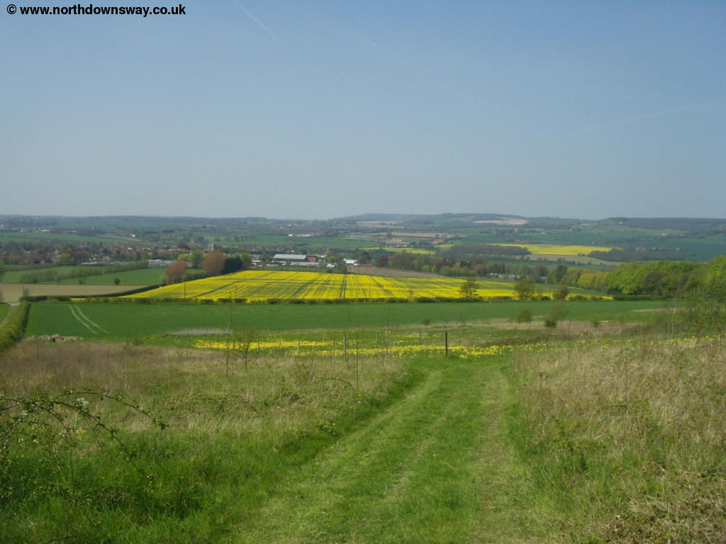
Continue straight on when a path goes off to the left, towards the trees. Wye Crown can be seen on the hills ahead, which commemorates the coronation of King Edward VII in 1902. Soon you emerge onto a road, which you cross and continue straight ahead. At the top of the next field the path briefly goes into woodland but there are excellent views towards Wye.
 |
| Near Wye |
The path continues to climb through the woodland, where the path then joins a lane which you continue on. Almost as soon as you emerge from the woodland, the North Downs Way turns right, where you enjoy even better views of the surrounding countryside and to the coast.
 |
 |
| View from near Wye Crown | View from near Wye Crown |
 |
|
| View from near Wye Crown |
The path now continues along the top of the field, with Wye Crown just to the right, where there is a seating area. The crown commemorates the coronation of King Edward VII in 1902 and was restored between 1990 and 1995 by students from Wye College. This part of the path continues at a high-level through open countryside, affording superb views back to Wye and to the coast ahead.
 |
 |
| View Wye Crown | View from near Wye Crown |
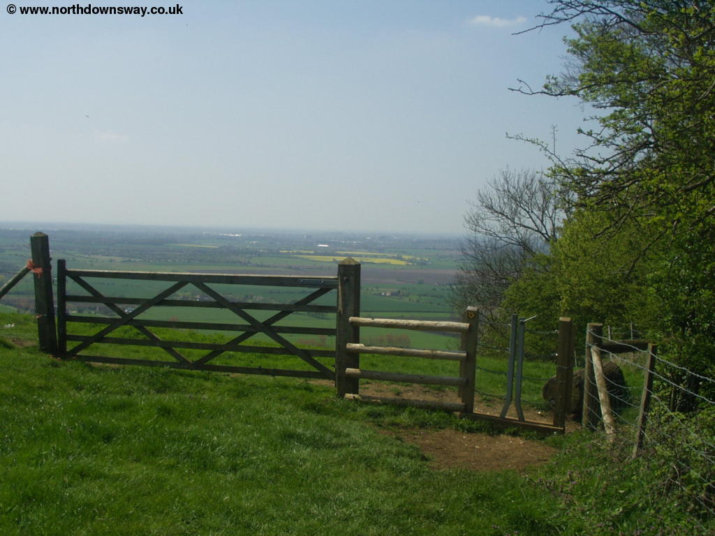
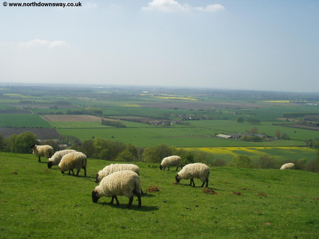
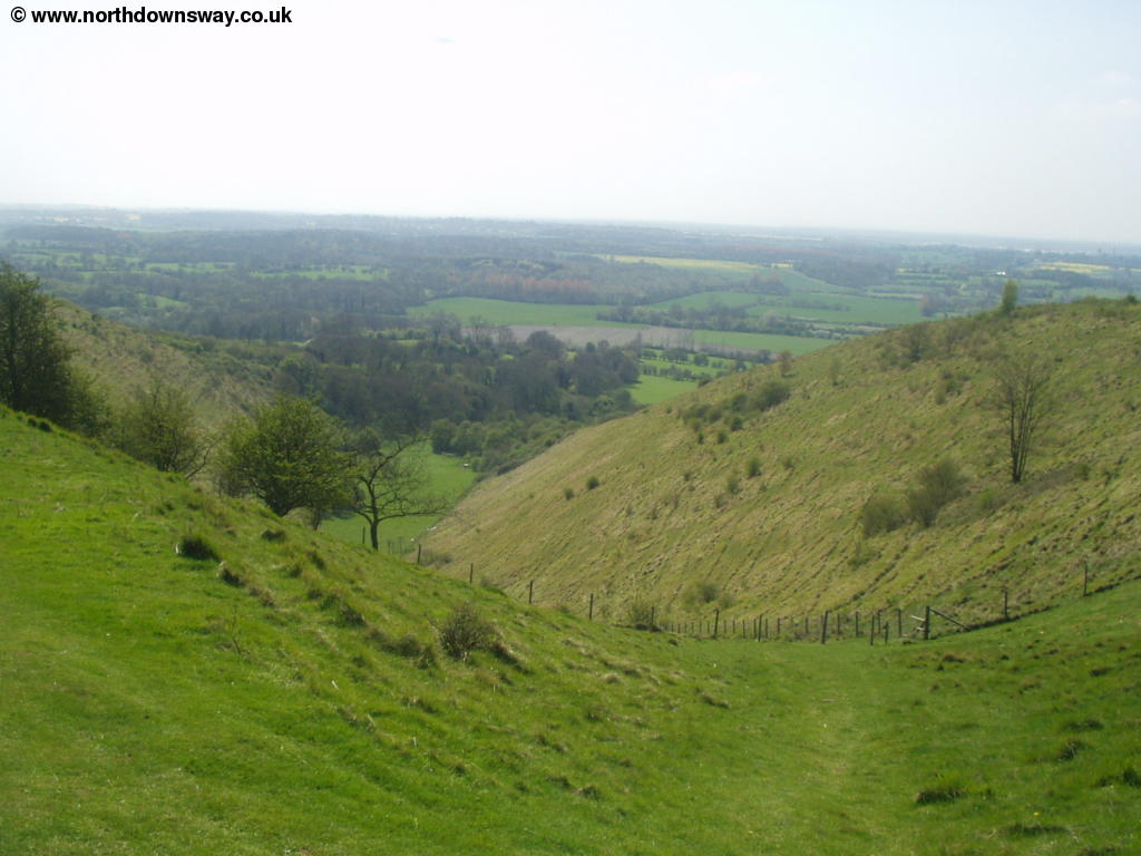
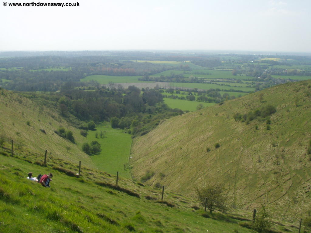
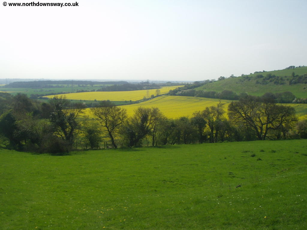
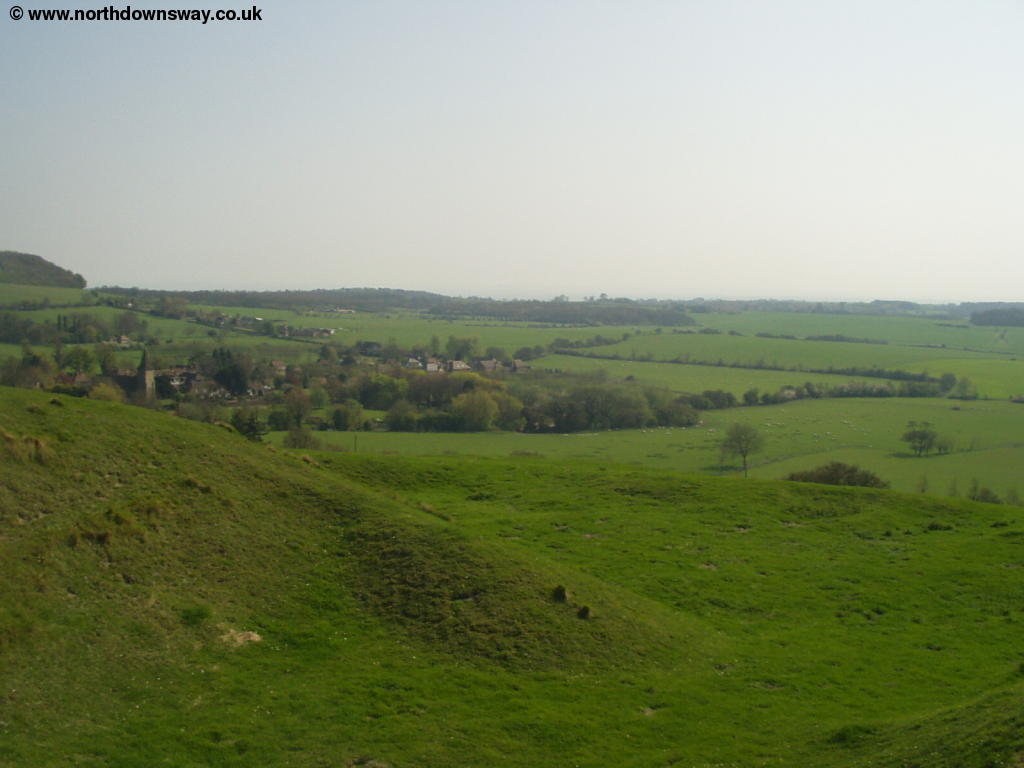
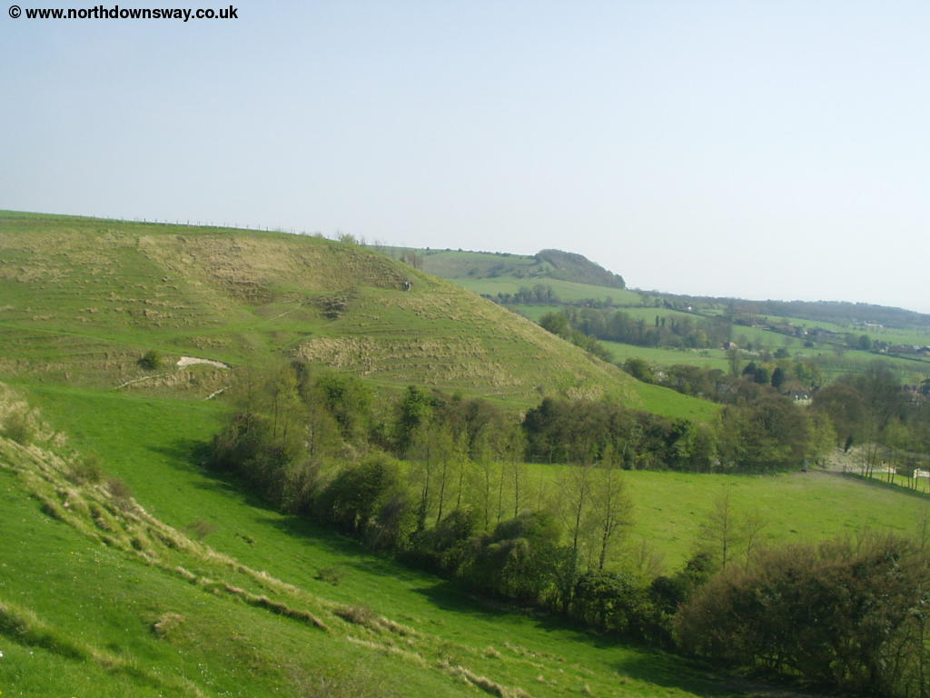
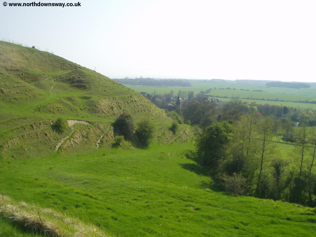
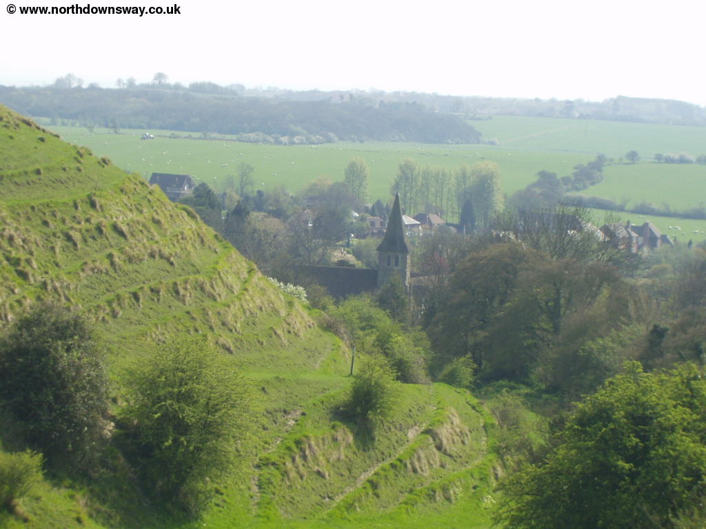
Soon you come to a road, which you cross and follow the signs into Wye Nature Reserve. This area is also marked as Broad Downs on the map. Soon you come to the spectacular Devils's Kneading Trough, a large valley that drops away from the North Downs Way very quickly. This is a popular spot and there is even a restaurant of the same name nearby.
 |
 |
| The Devil's Kneading Trough | The Devil's Kneading Trough |
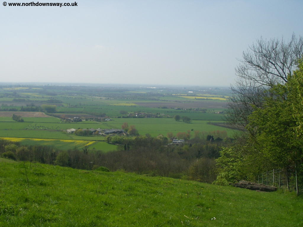
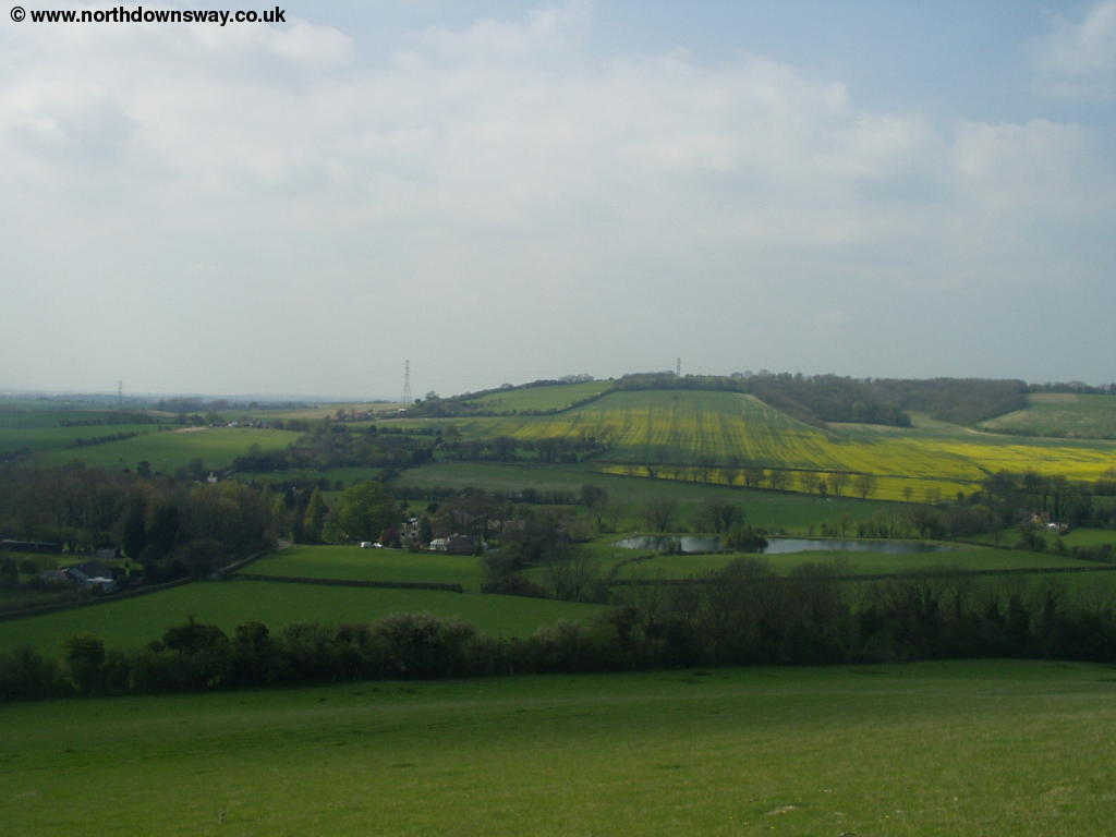
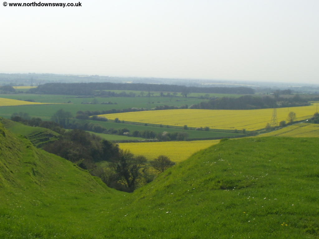
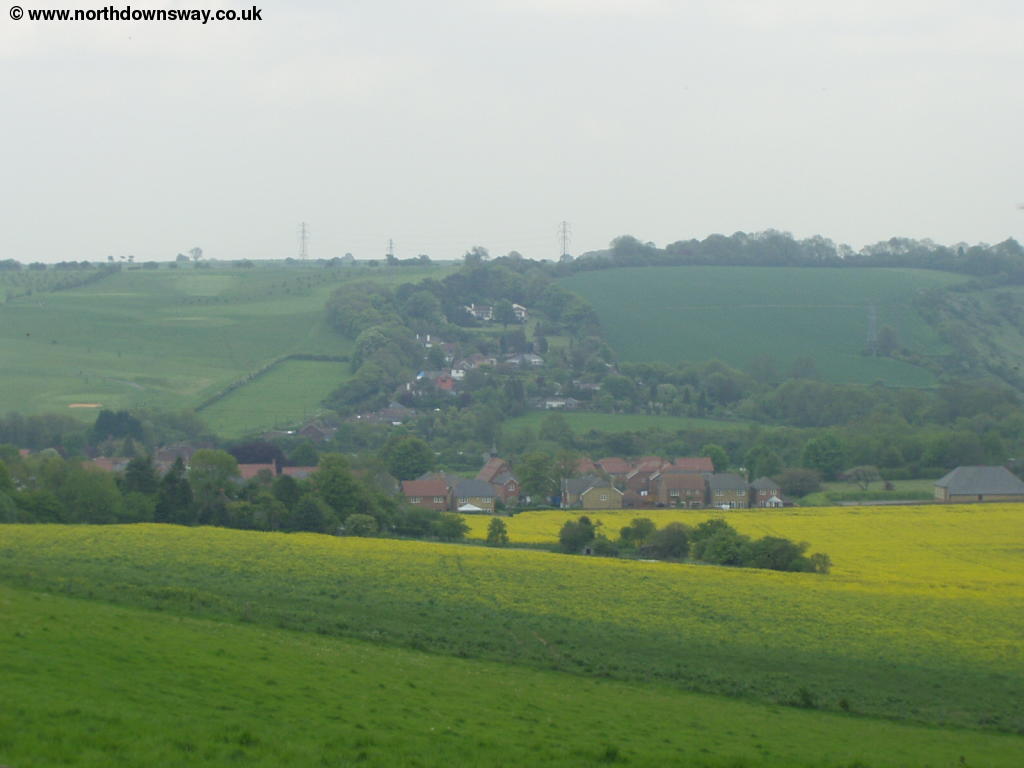
Beyond the spectacular valley you pass another couple of smaller valleys although the views are not as good due to the number of trees. Beyond these valleys you pass Cold Blow Farm (perhaps referring to the sea breeze you might well feel up here) then through fields. Some of these are beautiful in spring when the Rape Seed plants are in full bloom.
 |
| Fields near Cold Blow Farm |
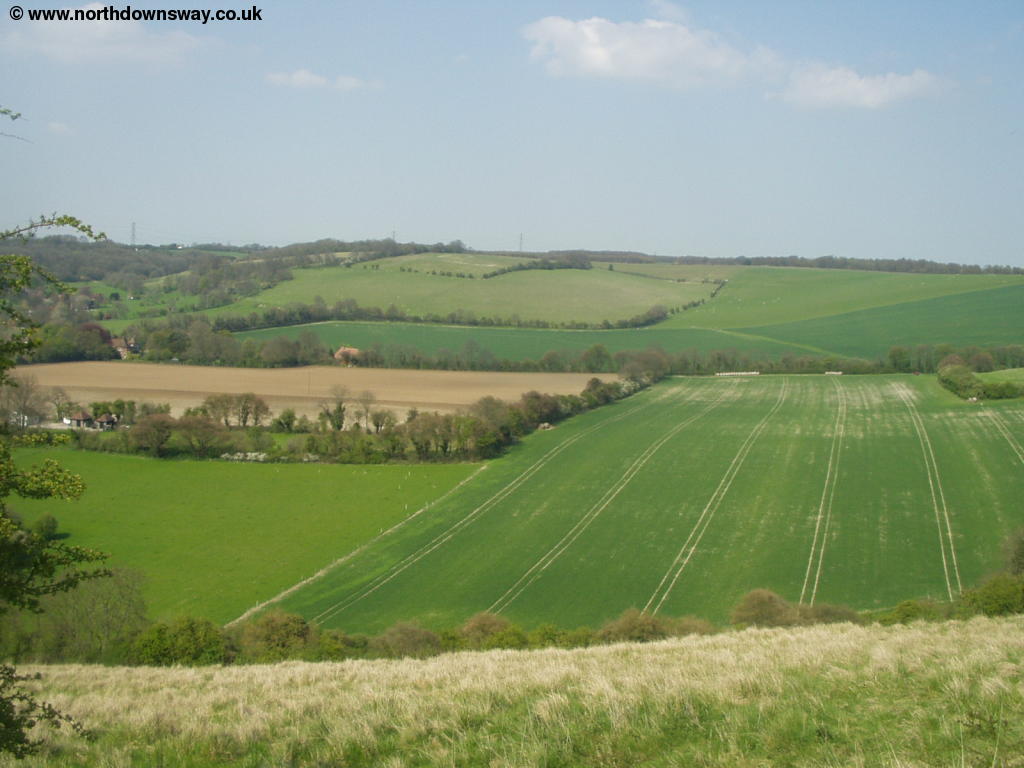
Soon you emerge from the fields onto a small road where you turn right following the road briefly before turning left, where the sign post points to South Hill. Where a road turns off to the left to the farm, continue straight on. This road soon becomes a muddy lane, which you now follow for a while. The trees to the left have many bluebells growing underneath them in spring, whilst there continues to be excellent views to the right. Soon the muddy lane comes to an end and you emerge onto another small road, where the views towards the coast are superb.
 |
 |
| Near Partridge Wood | The road near Partridge Wood |
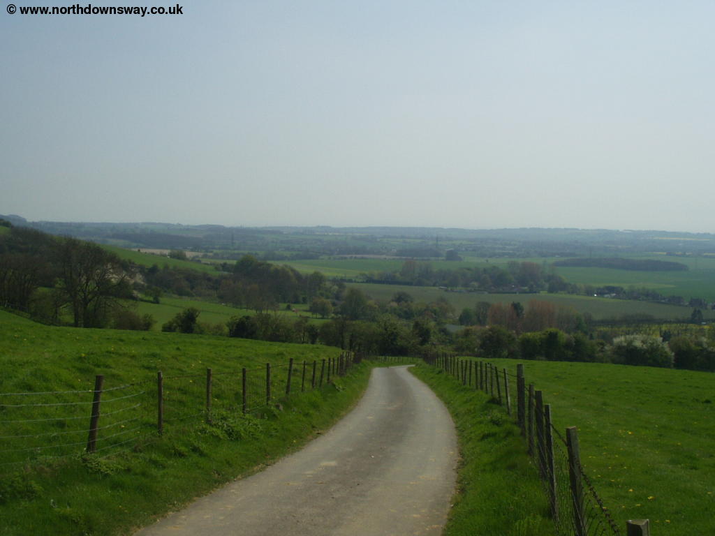
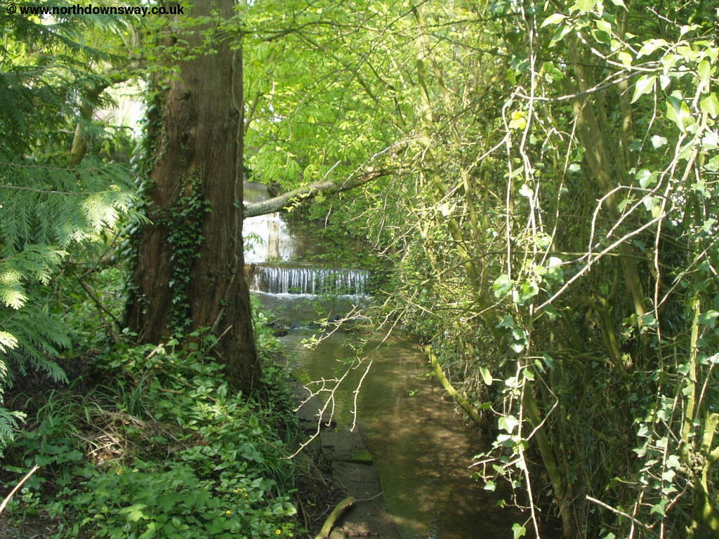
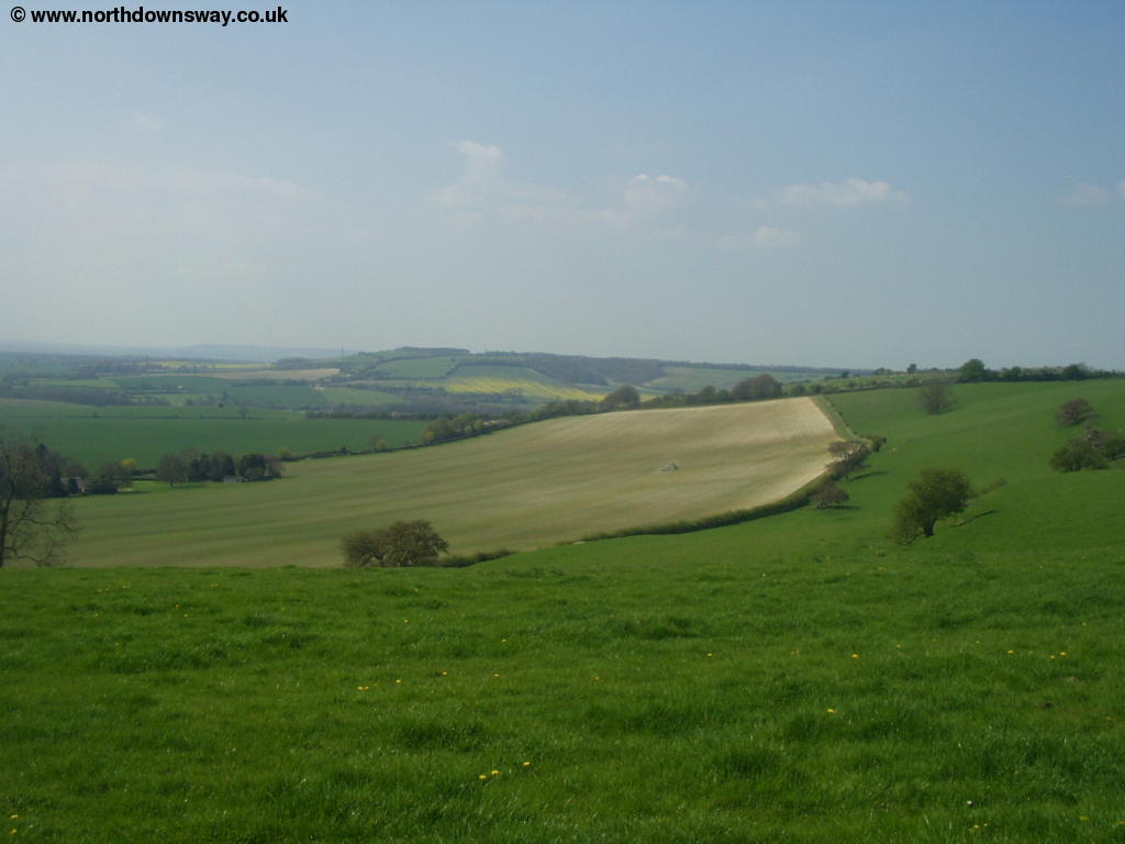
At the road turn right and keep with the road until you come to a farm track going off to the left which you follow. This farm track passes woods (Long Wood) on the left and soon comes to another small road that descends sharply to the right (Canterbury Road). Cross this road and continue straight on on the track. Soon this path joins another road (Scot's Lane) where you continue more or less straight on on the road towards Stowting. Soon you come a phone box where you continue straight on. The North Downs Way actually goes along the edge of a field here through Stowting, rather than along the road as suggested on the map, passing a pub on the left. There is a stile out onto the road here. Soon the path emerges onto the road and you continue along the road. At the junction where the green is, take the road to the left (Pilgrims Way). To the left here is a pretty small stream.
 |
| The small stream near Stowting |
Continue on this road but look for the path off to the left once out of the village. Take this path where you have to cross a second road and then begin to climb up onto Cobb's Hill. The views back to the village from the top of the hill are worth the climb and you'll also see the Trout Lake below, not obvious from the roads through the village.
 |
 |
| View back to Stowting | Stowting Trout Lake |
When you see another footpath to the left, continue straight on. When the path gets to the edge of the road, follow it round to the right where it runs parallel to the road for some distance, passing a nursery on the left. You come to a small road which you cross and continue straight on. This area is Farthing Common and it is a popular spot.
 |
 |
| Farthing Common | Farthing Common |
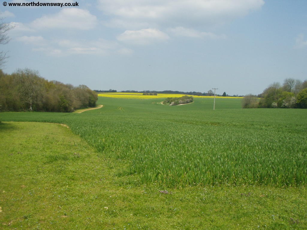
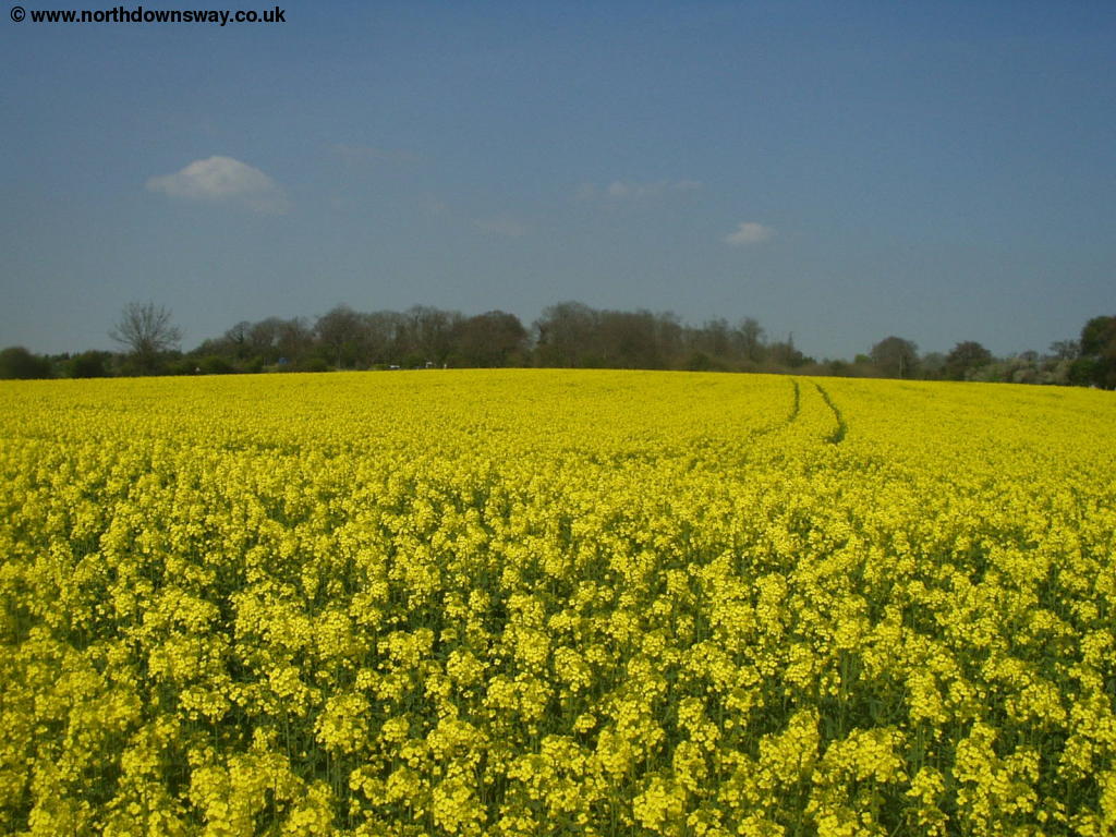
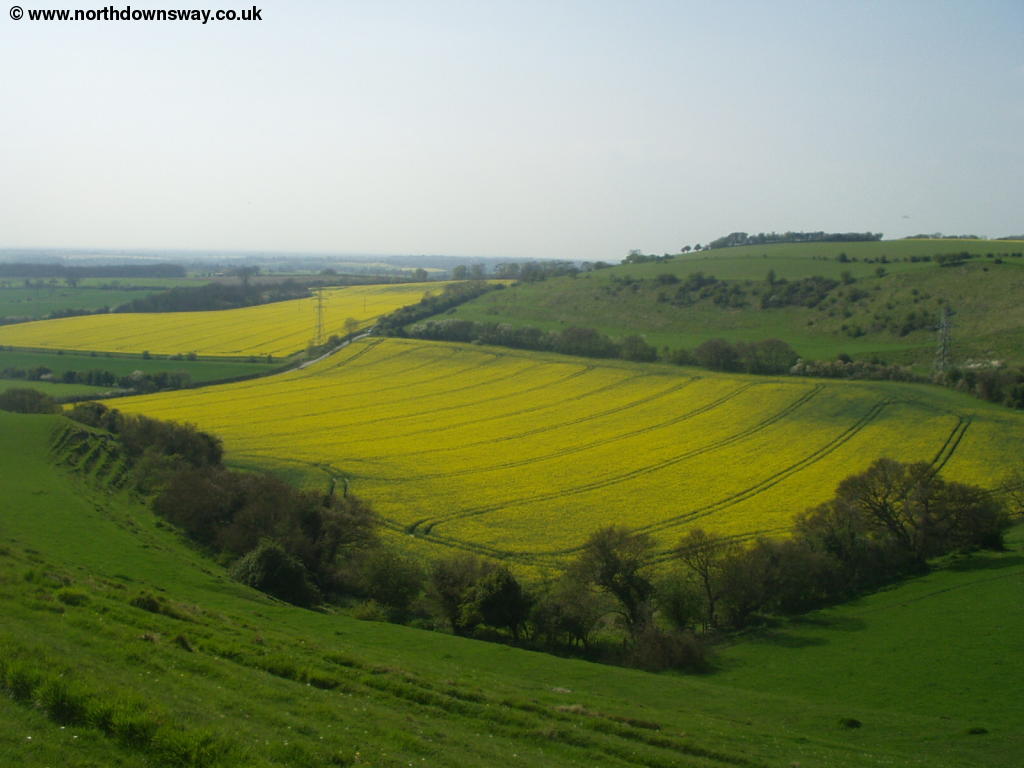
Soon you come to a small parking area on the left and soon the path continues parallel to the road as it turns to the right. Keep a lookout for a stile on the left here, where you emerge onto the busy road, which you need to cross. Once across the road you enter another field, which was full of beautiful yellow rape seed plants when I walked this part of the path.
 |
| Yellow field |
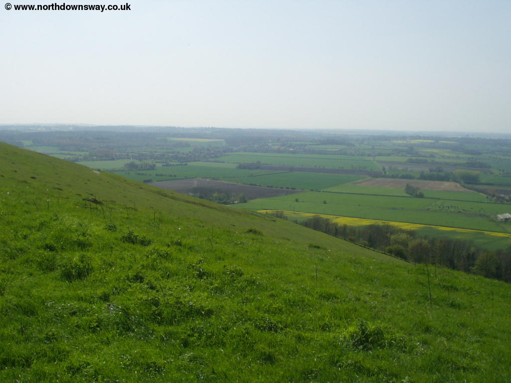
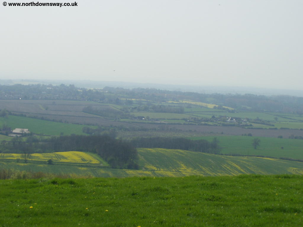
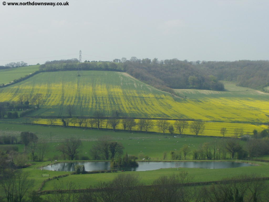
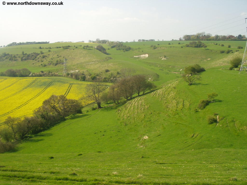
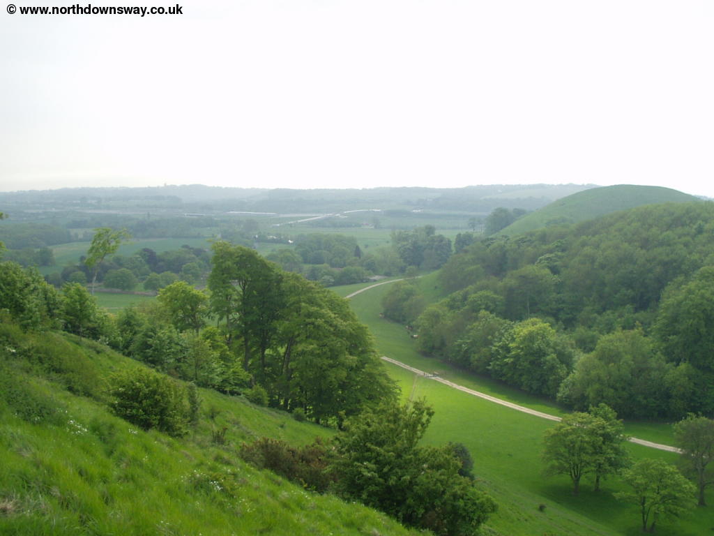
Soon the path descends into a small bowl area, with chalk visible on the hill to the left. At the bottom of this you have hills on all sides, although it's a shame about the power and telephone lines nearby. You then climb out of this "bowl" where there are excellent views in most directions. This is one of my favourite sections of the North Downs Way, with the spectacular hills ahead, which the path clings to the side of. There are spectacular valleys to the right.
 |
 |
| Beyond Farthing Common | Beyond Farthing Common with a steep valley to the right |
 |
 |
| Beyond Farthing Common looking back | Beyond Farthing Common |
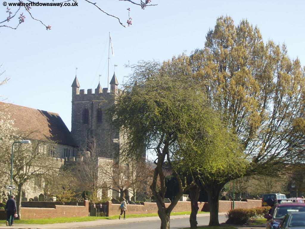
Soon you see the attractive village of Postling ahead, with the pretty church tower dominating the village. The North Downs Way does not go into the village, but clings to the edge of the hills around the village.
 |
 |
| Postling visible ahead | The path ahead |
 |
 |
| Postling visible ahead | Postling |
All too soon the path is descending towards Staple Farm. At the bottom you cross a stile to the road where you turn slightly right of straight on, into a small lane, rather than the busier road immediately to the right (it is well signed). Here the path begins to climb once more, this time towards a tall and rather ugly mast at the top of the hill.
 |
| Near Etchinghill |
As you reach the top of hill where the mast is you get excellent views in almost all directions. The mast itself serves a military purpose and is served by a narrow road up from the village of Etchinghill. Continue straight on, crossing the Elham Valley Way into another field, this time with a warning sign about being a military training ground and to stick to the path. There is a range of footpath arrows on the signs around here, as the North Downs Way, Saxon Shore Way and Elham Valley Way all share the same footpath. From this spot you get good views of Etchinghill below and the steep valley to the south.
 |
 |
| Etchinghill below | Valley to the south of the path |
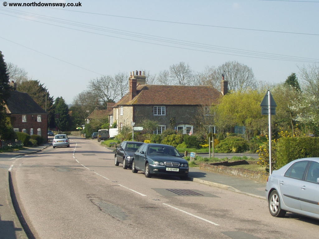
Soon you turn off left and you can hardly fail to miss this turn due to the number of footpath signs that go down here! You now proceed down a valley through woodland into Etchinghill. You emerge onto Canterbury Road where you should turn left to get to the centre of the village, passing a bus stop on the way. Etchinghill is an odd mix of new and old with new housing to the east of the village, but older housing further west. There is also a pub in the village, near the junction with Teddars Leas Road.
 |
| Etchinghill |
Getting Back
There isn't a station in Etchinghill so instead you need to return by bus. Stagecoach East Kent operate a bus (number 17) that runs approximately hourly (Monday - Saturday) from Etchinghill to Folkestone and Canterbury, taking around 20 minutes to get to Folkestone (also passing the station in Folkestone) and around 45 minutes to get to Canterbury. It also runs once every 2 hours on Sundays. To get back to Wye you can either travel by train from Folkestone Central station, which the bus passes to Ashford International, then change here for an onward train to Wye. Alternatively travel to Canterbury Bus Station then walk through Canterbury to Canterbury West station for trains back to Wye. All these trains are operated by South Eastern Trains. Unfortunately connections between the buses and trains is typically poor, meaning to get from Etchinghill to Wye typically takes over an hour and is often nearer two. Travelling via Canterbury is however typically quicker as the rail connection from Folkestone to Wye is poor. If you're travelling further afield, there are good rail services from Folkestone and Canterbury to most parts of Kent and on into London.
Another alternative for getting back to Wye is to walk to nearby Lyminge. There is a footpath from the end of Canterbury Road at the North end of the village that takes you into Lyminge. From Lyminge you will find a bus service to nearby Sandling Station, on the line between Folkestone and Ashford International. To get from Sandling Station to Wye take a train towards Ashford International or London and change at Ashford International. This bus is service number 558 and it runs approximately once every two and a half hours Monday - Saturday, operated by Poynters Coaches. For more details on this service, call 01233 812002.
Links
The following web sites provide information on the area.
Every effort is made to ensure the accuracy of information on this site, but liability will not be assumed in the event of any inaccuracies. Use of the information on this site is at your own risk. If you find any errors, please use the link below. The text and photographs on this web site are all Copyright © and may not be reproduced without prior permission.